Water Body · Utah
SCOFIELD RES Fishing
SCOFIELD RES is a water body in Utah. This guide includes fish species, stocking history, fishing access and monitoring stations.
Quick facts
- Location
- Utah
- Coordinates
- 39.7738, -111.1521
- Water type
- Water Body
- Sunrise
- 14:12 UTC
- Sunset
- 00:06 UTC
- Day length
- 9.9 hours
Location map
Current fishing weather
Loading current forecast…
Fish species
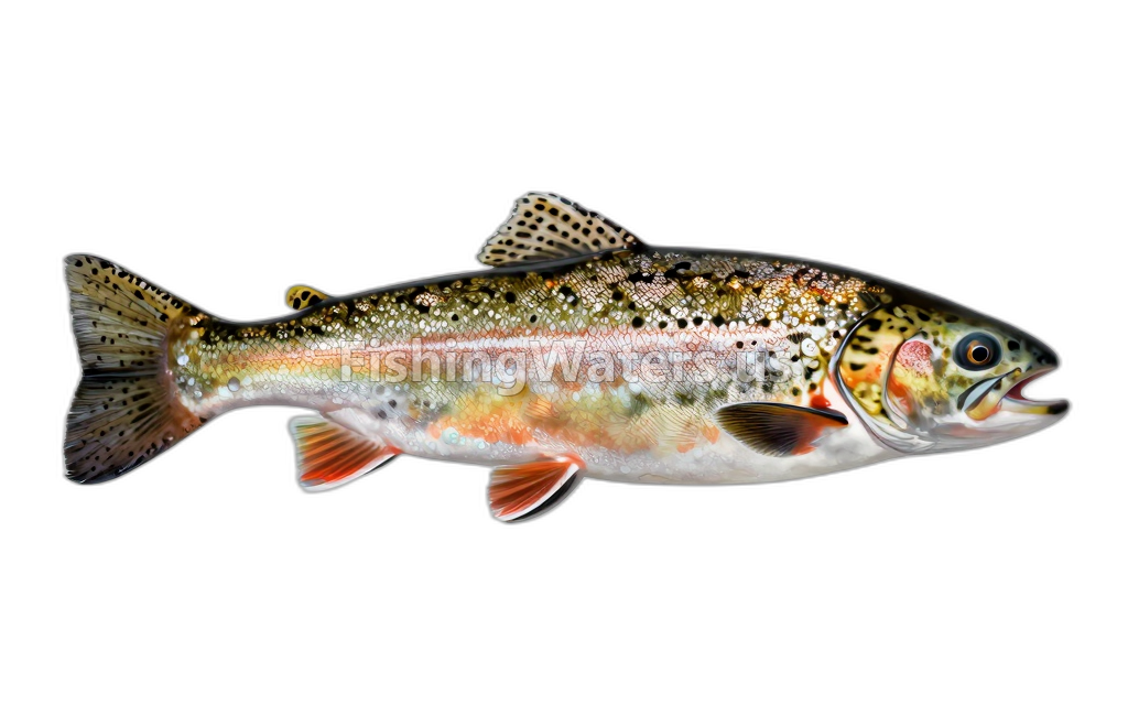 Bear Lake cutthroat trout
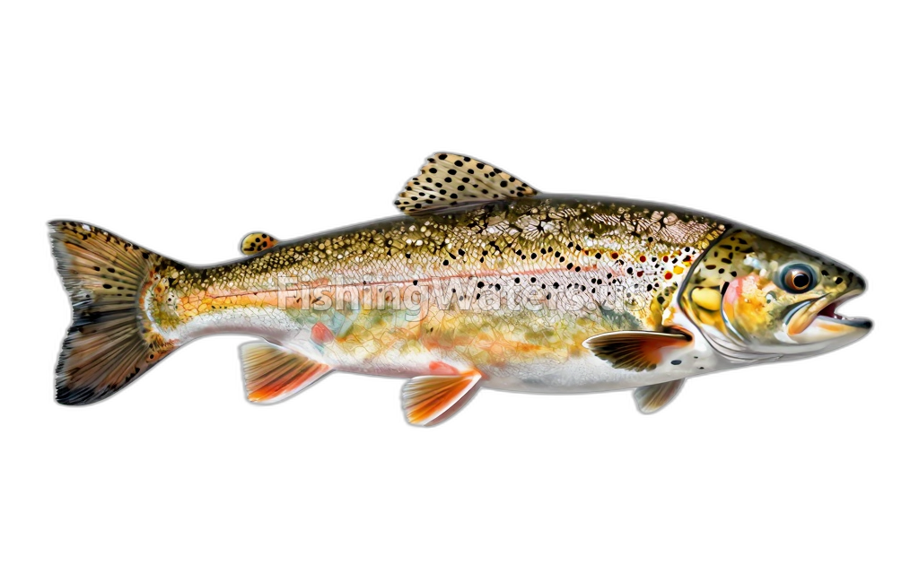 Brown TroutSalmo trutta
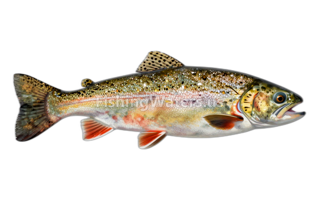 Cutthroat TroutOncorhynchus clarkii
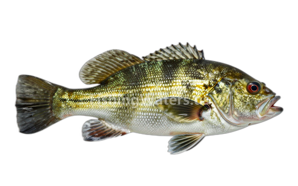 Green SunfishLepomis cyanellus
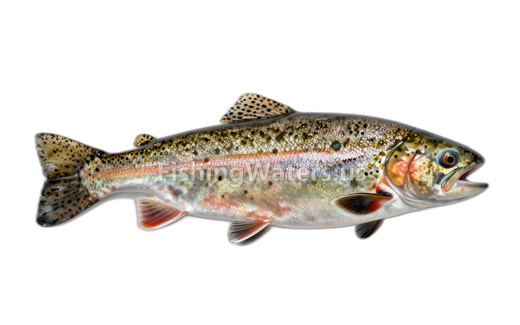 rainbow troutOncorhynchus mykiss
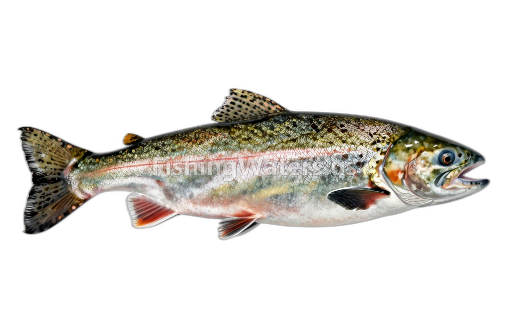 Sockeye SalmonOncorhynchus nerka
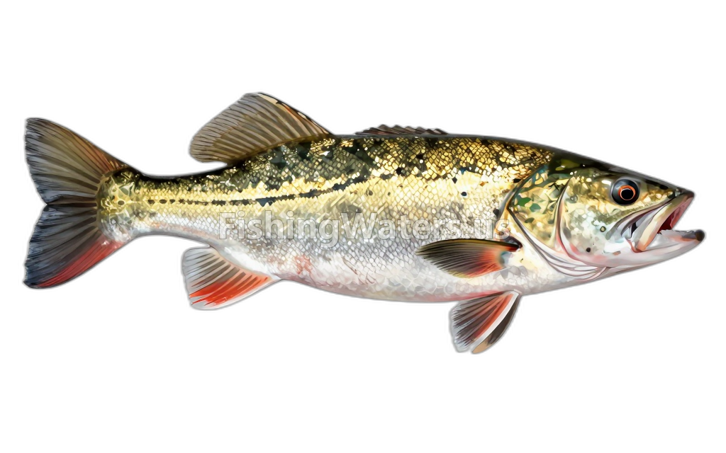 Tiger muskie
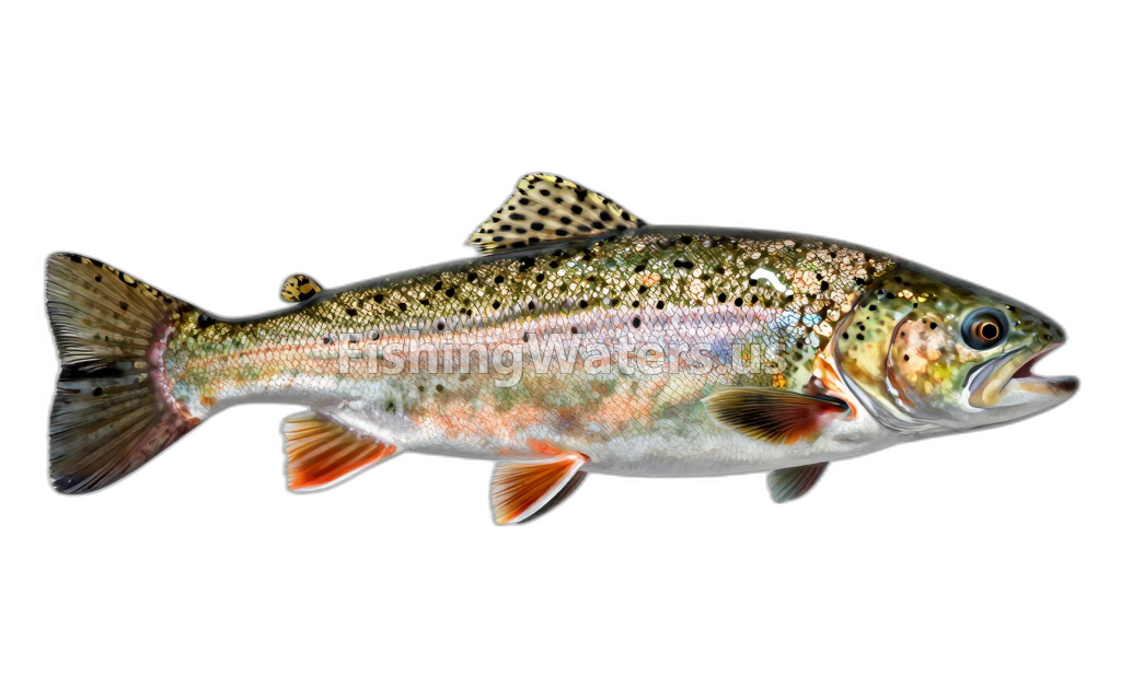 Tiger trout
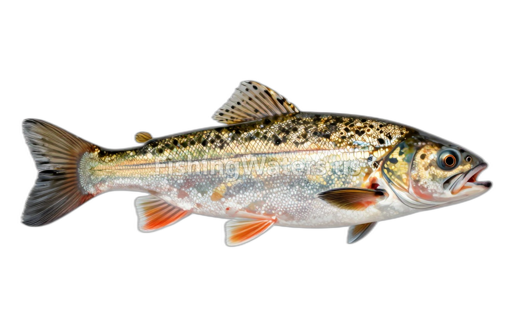 Utah chub
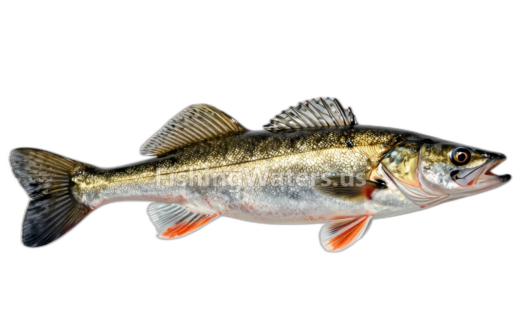 WalleyeSander vitreus
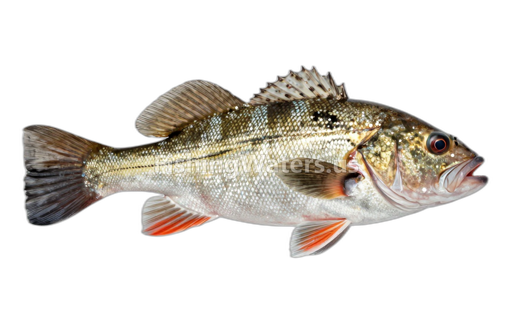 Wiper
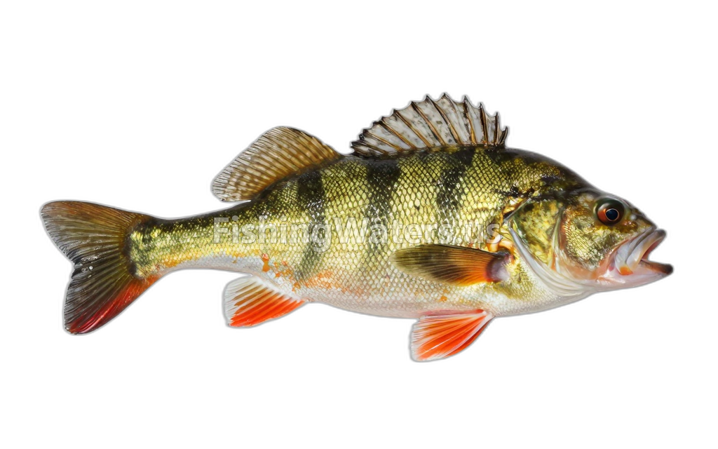 Yellow PerchPerca flavescens
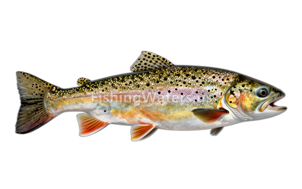 Yellowstone Cutthroat TroutOncorhynchus clarkii bouvieri
Stocking history
- Species
- Rainbow trout
- Quantity
- 975
- Stocking date
- Nov 6, 2023
- Fish size
- 11.86
- Species
- Rainbow trout
- Quantity
- 1275
- Stocking date
- Nov 6, 2023
- Fish size
- 11.86
- Species
- Rainbow trout
- Quantity
- 1200
- Stocking date
- Nov 6, 2023
- Fish size
- 11.86
- Species
- Rainbow trout
- Quantity
- 1275
- Stocking date
- Nov 6, 2023
- Fish size
- 11.86
- Species
- Rainbow trout
- Quantity
- 1313
- Stocking date
- Nov 2, 2023
- Fish size
- 11.86
- Species
- Rainbow trout
- Quantity
- 1200
- Stocking date
- Nov 2, 2023
- Fish size
- 11.86
Stocking data: Utah Division of Wildlife Resources
Stocking records are historical and may not reflect current fish populations.
Fishing access
Boat ramp
Scofield State Park
Public access
View official access informationWater monitoring
SCOFIELD RESERVOIR NEAR SCOFIELD, UT
U.S. Geological Survey
Site m-65 scofield reservoir
U.S. Geological Survey
Core site m-65c
U.S. Geological Survey
CORE SAMPLE SITE M-65 0-7.5 CM SCOFIELD RES
U.S. Geological Survey
CORE SAMPLE SITE M-65 7.5-15CM SCOFIELD RES
U.S. Geological Survey
CORE SAMPLE SITE M-65 15-22.5 CM SCOFIELD RES
U.S. Geological Survey
CORE SAMPLE SITE M-65 22.5-28 CM SCOFIELD RES
U.S. Geological Survey
Site l-65 scofield reservoir
U.S. Geological Survey
Nearby station readings describe the monitoring location, not necessarily the whole waterbody.
Sources
- Utah Department of Natural Resources / Utah Geospatial Resource Center
- Utah Division of Wildlife Resources