Reservoir · Virginia
Harwoods Mill Reservoir Fishing
Harwoods Mill Reservoir is a reservoir in York County, Virginia. This guide includes fish species, fishery surveys, fishing access, local fishing regulations and monitoring stations.
Quick facts
- Location
- York County, Virginia
- Coordinates
- 37.1447, -76.4729
- Water type
- Reservoir
- Sunrise
- 11:48 UTC
- Sunset
- 21:54 UTC
- Day length
- 10.1 hours
Location map
Current fishing weather
Fish species
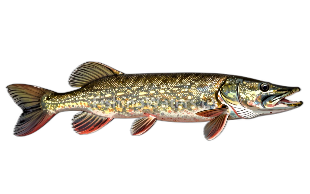
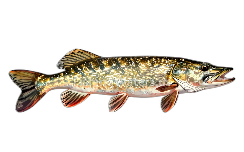
Fishery surveys and lake profiles
Fishery survey
Jun 16, 2022
EPA NLA hydrographic profile
Ph 8.63–8.68
Depth 0.1–1.6
Oxygen 9.8–9.87
Temperature 28.8–28.86
Conductivity 159–159
View official surveySurvey findings describe the recorded visit and may not reflect current conditions.
Fishing access
Fishing access
Harwood's Mill Reservoir
Public access
View official access informationFishing regulations
Waterbody fishing rules
View official regulationsCheck the official source for current dates, limits and exceptions before fishing.
Water monitoring
HARWOOD RESERVOIR TRIB NO 1 NR TABB, VA
U.S. Geological Survey
HARWOODS MILL RESERVOIR IN TRIBUTARY 1 NR TABB, VA
U.S. Geological Survey
HARWOODS MILL RESERVOIR AT TRIBUTARY 1 NR TABB, VA
U.S. Geological Survey
HARWOOD RESERVOIR ABOVE RT 620 NEAR TABB, VA
U.S. Geological Survey
HARWOODS MILL RESERVOIR BELOW RT 620 NEAR TABB, VA
U.S. Geological Survey
HARWOODS MILL RESERVOIR ABOVE AIRPORT NR TABB, VA
U.S. Geological Survey
HARWOODS MILL RESERVOIR AT AIRPORT NEAR TABB, VA
U.S. Geological Survey
HARWOOD MILL RESERVOIR TRIB NO 2 NEAR TABB, VA
U.S. Geological Survey
Nearby station readings describe the monitoring location, not necessarily the whole waterbody.
Fishing waters nearby
Virginia fishing resources
Official statewide resources
Sources
- U.S. Environmental Protection Agency
- U.S. Geological Survey
- Virginia Department of Wildlife Resources