Lake · Massachusetts
Santuit Pond Fishing
Santuit Pond is a lake in Barnstable County, Massachusetts. This guide includes fish species, water-quality assessments and monitoring stations.
Quick facts
- Location
- Barnstable County, Massachusetts
- Coordinates
- 41.6537, -70.4583
- Water type
- Lake
- Sunrise
- 11:34 UTC
- Sunset
- 21:19 UTC
- Day length
- 9.7 hours
Location map
Current fishing weather
Loading current forecast…
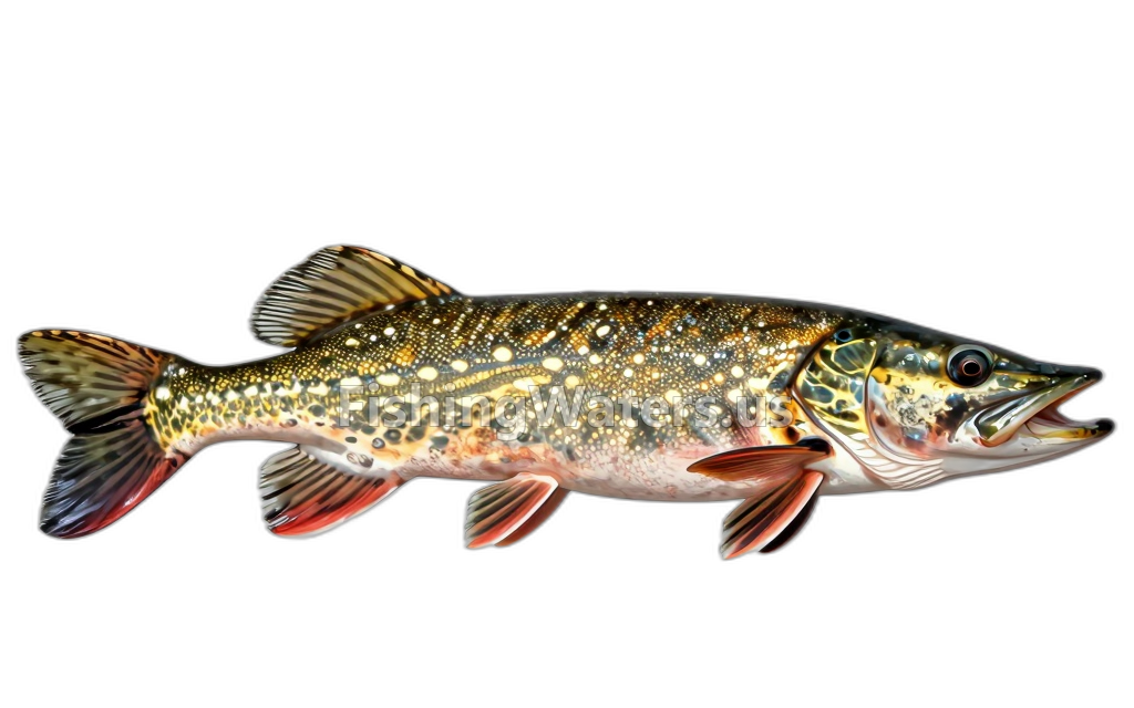
Fish species
Water quality
EPA assessment information is available for this waterbody.
EPA assessment
Assessed area: 0.0 square miles
View EPA assessmentEPA assessment
Assessed area: 1.6 miles
View EPA assessmentEPA assessment
Assessed area: 164.0 acres
View EPA assessmentEPA water-quality assessments are separate from fish-consumption advisories.
Water monitoring
SANTUIT POND, MASHPEE MI-SANPD-0001 (SP-SB)
U.S. Geological Survey
SANTUIT POND, MASHPEE MI-SANPD-0003 (GWOUT)
U.S. Geological Survey
SANTUIT POND, MASHPEE
U.S. Geological Survey
SANTUIT POND, MASHPEE MI-SANPD-0002 (GWIN)
U.S. Geological Survey
Nearby station readings describe the monitoring location, not necessarily the whole waterbody.
Fishing waters nearby
Massachusetts fishing resources
Official statewide resources
Sources
- U.S. Environmental Protection Agency
- U.S. Geological Survey