Lake · Connecticut
Myers Pond Fishing
Myers Pond is a lake in Western Connecticut County, Connecticut. This guide includes fish species and fishery surveys.
Quick facts
- Location
- Western Connecticut County, Connecticut
- Coordinates
- 41.3694, -73.2999
- Water type
- Lake
- Sunrise
- 11:45 UTC
- Sunset
- 21:31 UTC
- Day length
- 9.8 hours
Location map
Current fishing weather
Loading current forecast…
Fish species
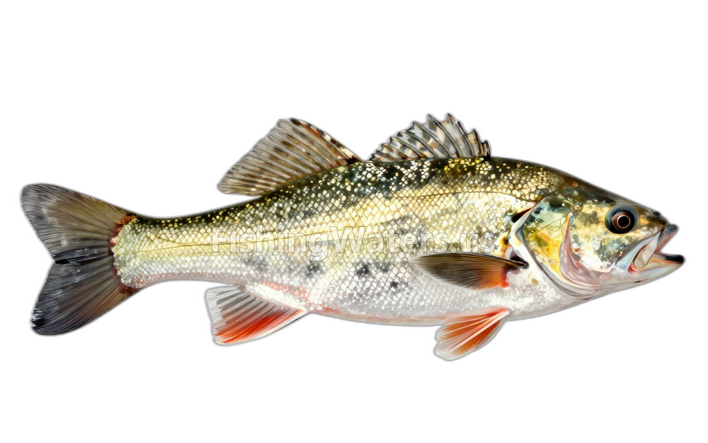
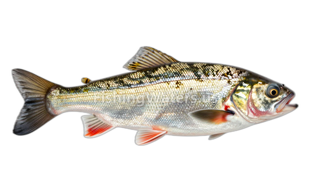
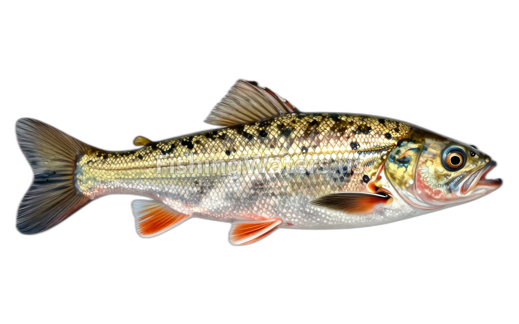
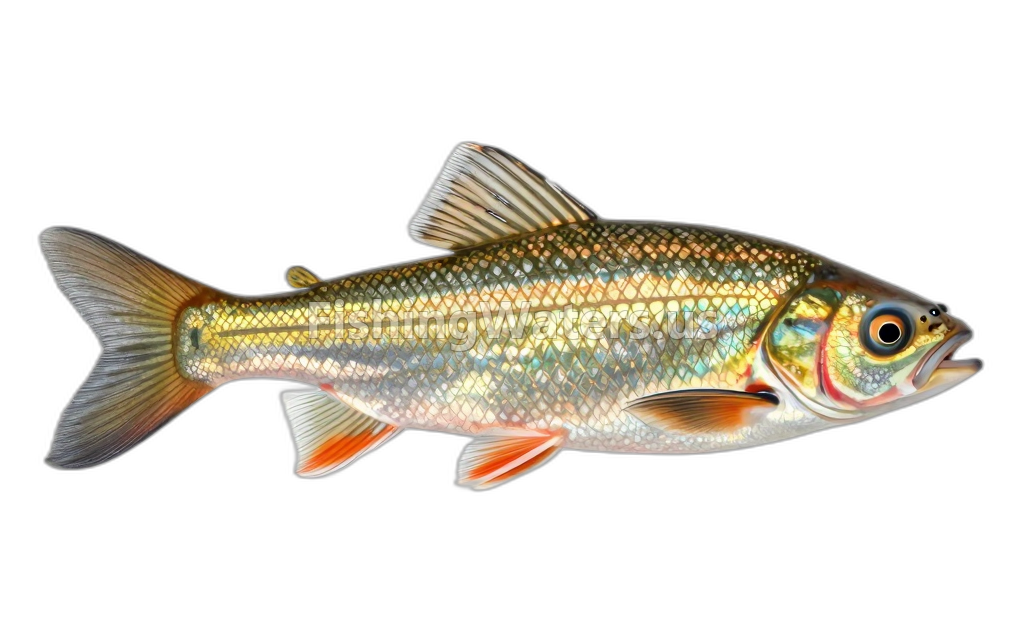
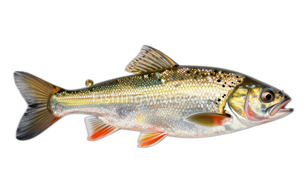
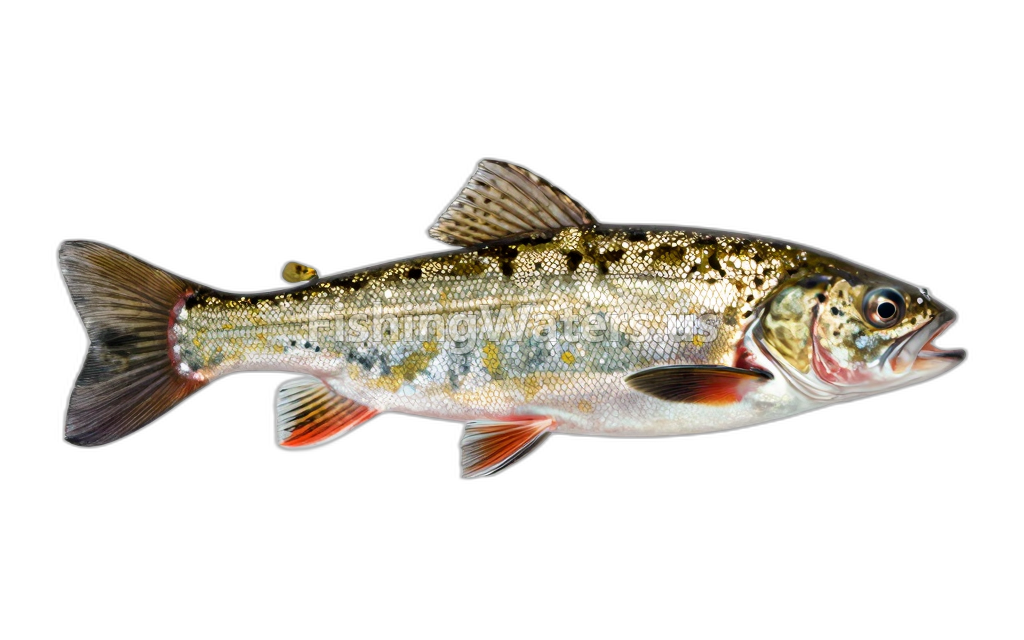
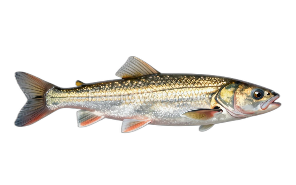
Fishery surveys and lake profiles
Blacknose Dace survey
Jan 1, 2008
Qualitative_electrofishing_presence indicated
View official surveyCommon Shiner survey
Jan 1, 2008
Qualitative_electrofishing_presence indicated
View official surveyCreek Chub survey
Jan 1, 2008
Qualitative_electrofishing_presence indicated
View official surveyFathead Minnow survey
Jan 1, 2008
Qualitative_electrofishing_presence indicated
View official surveyGolden Shiner survey
Jan 1, 2008
Qualitative_electrofishing_presence indicated
View official surveyTessellated Darter survey
Jan 1, 2008
Qualitative_electrofishing_presence indicated
View official surveyWhite Sucker survey
Jan 1, 2008
Qualitative_electrofishing_presence indicated
View official surveySurvey findings describe the recorded visit and may not reflect current conditions.
Fishing waters nearby
Connecticut fishing resources
Official statewide resources
Sources
- Connecticut Department of Energy and Environmental Protection
- U.S. Geological Survey