Lake · Maine
Molasses Pond Fishing
Molasses Pond is a lake in Hancock County, Maine. This guide includes fish species, stocking history, fishing access and monitoring stations.
Quick facts
- Location
- Hancock County, Maine
- Coordinates
- 44.6763, -68.2175
- Water type
- Lake
- Sunrise
- 11:33 UTC
- Sunset
- 21:02 UTC
- Day length
- 9.5 hours
Location map
Current fishing weather
Loading current forecast…
Fish species
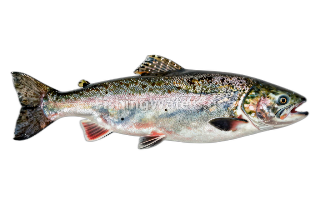
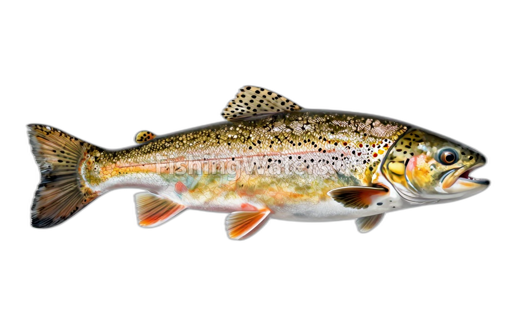
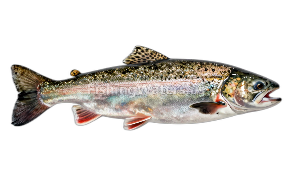
Stocking history
- Species
- L.L. Salmon
- Quantity
- 32
- Stocking date
- Nov 25, 2025
- Fish size
- 13.0
- Species
- L.L. Salmon
- Quantity
- 43
- Stocking date
- Nov 25, 2025
- Fish size
- 19.0
- Species
- Brown Trout
- Quantity
- 300
- Stocking date
- Oct 14, 2025
- Fish size
- 12.0
- Species
- L.L. Salmon
- Quantity
- 50
- Stocking date
- May 7, 2025
- Fish size
- 6.0
Stocking data: Maine Department of Inland Fisheries and Wildlife
Stocking records are historical and may not reflect current fish populations.
Fishing access
Boat ramp
Molasses Pond
Public access
View official access informationWater monitoring
Molasses Pond nr Eastbrook ME
U.S. Geological Survey
MOLASSES POND NEAR EASTBROOK, ME 'D' 4448
U.S. Geological Survey
MOLASSES POND NEAR EASTBROOK, ME 'E' 4448
U.S. Geological Survey
MOLASSES POND NEAR EASTBROOK, ME 'C' 4448
U.S. Geological Survey
MOLASSES POND NEAR EASTBROOK, ME 4448
U.S. Geological Survey
MOLASSES POND NEAR EASTBROOK, ME 'B' 4448
U.S. Geological Survey
MOLASSES POND NEAR EASTBROOK, ME 'A' 4448
U.S. Geological Survey
MOLASSES POND NEAR EASTBROOK, ME 'F' 4448
U.S. Geological Survey
Nearby station readings describe the monitoring location, not necessarily the whole waterbody.
Fishing waters nearby
Maine fishing resources
Official statewide resources
Sources
- Maine Bureau of Parks and Lands / Department of Inland Fisheries and Wildlife
- Maine Department of Inland Fisheries and Wildlife
- U.S. Geological Survey