Lake · Indiana
Long Lake Fishing
Long Lake is a lake in Porter County, Indiana. This guide includes fish species, fishing access, current fish-consumption advice and monitoring stations.
Quick facts
- Location
- Porter County, Indiana
- Coordinates
- 41.6156, -87.2106
- Water type
- Lake
- Sunrise
- 12:41 UTC
- Sunset
- 22:26 UTC
- Day length
- 9.7 hours
Location map
Current fishing weather
Fish species
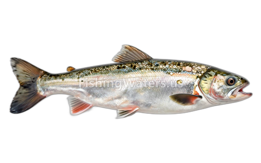
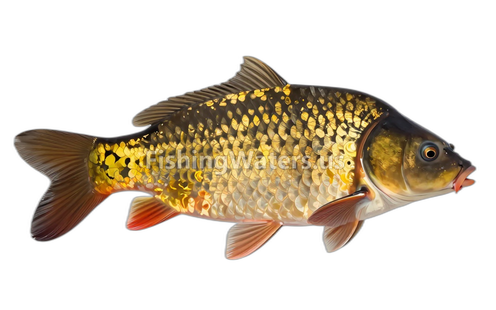
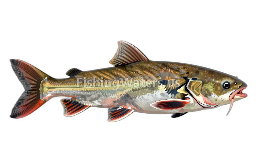
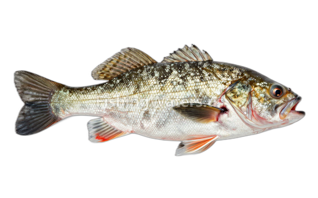
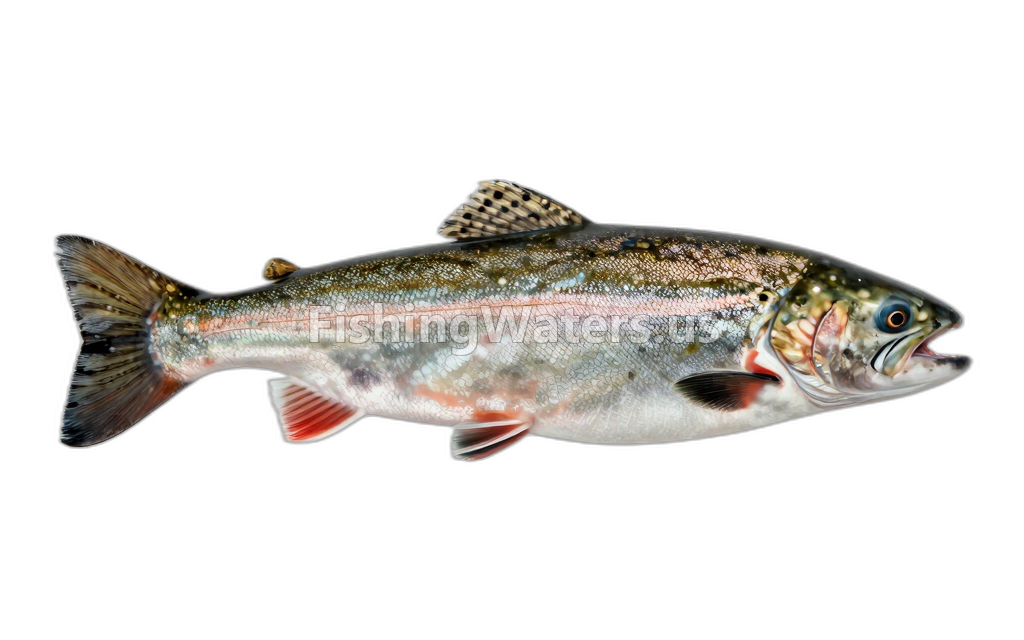
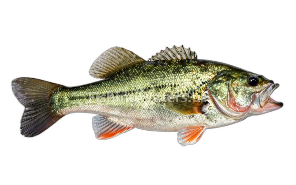
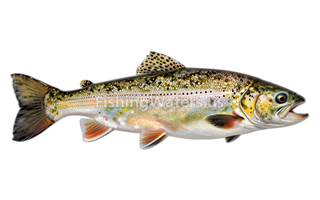
Fishing access
Boat ramp
Portage Marina (Burns Waterway)
Public access
View official access informationFishing pier
Portage Marina
Public access
View official access informationFishing pier
Portage Lakefront Park
Public access
View official access informationCurrent fish-consumption advice
Fish-consumption advice
Buffalo SpeciesUp to 25": 1 meal per weekBuffalo Species25"+: 1 meal per monthCommon CarpAll: 1 meal per monthCrappie SpeciesAll: 1 meal per weekFlathead CatfishUp to 20"; 20+ See SEG: 1 meal per weekFreshwater DrumAll: 1 meal per weekGoldfishAll: 1 meal per weekLargemouth BassAll: 1 meal per weekSunfish SpeciesAll: Unrestricted ConsumptionWhite SuckerAll: Unrestricted Consumption If the species is not listed below, please refer to the Statewide Safe Eating Guidelines for that species.
For General
View current official advisoryFish-consumption advice
Buffalo SpeciesUp to 25": 1 meal per weekBuffalo Species25"+: 1 meal per monthCommon CarpAll: 1 meal per monthCrappie SpeciesAll: 1 meal per weekFlathead CatfishUp to 20"; 20"+ see SEG: 1 meal per weekFreshwater DrumAll: 1 meal per weekGoldfishAll: 1 meal per weekLargemouth BassAll: 1 meal per weekSunfish SpeciesAll: 1 meal per weekWhite SuckerAll: Unrestricted Consumption If the species is not listed below, please refer to the Statewide Safe Eating Guidelines for that species.
For Sensitive populations
View current official advisoryRecommendations can differ by species and population group. Follow the linked state guidance.
Water monitoring
Long lake west central portion at gary in
U.S. Geological Survey
LONG LAKE WEST, NORTH SHORE NR OBSERVE DECK, GARY
U.S. Geological Survey
W end long l at gary ind
U.S. Geological Survey
Long lake east central portion at gary in
U.S. Geological Survey
E-3-SW LONG LAKE EAST, NORTH SHORE, OGDEN DUNES IN
U.S. Geological Survey
W. BCH. INTER-DUNAL POND NO. 3 OGDEN
U.S. Geological Survey
W. BCH INTER-DUNAL POND NO. 4 GARY, IND
U.S. Geological Survey
W. BCH. INTER-DUNAL POND 1 OGDEN, IND.
U.S. Geological Survey
Nearby station readings describe the monitoring location, not necessarily the whole waterbody.
Fishing waters nearby
Indiana fishing resources
Official statewide resources
Sources
- Indiana Department of Natural Resources
- Indiana State Department of Health / Indiana Department of Natural Resources
- U.S. Geological Survey