Lake · Michigan
Diamond Lake Fishing
Diamond Lake is a lake in Osceola County, Michigan. This guide includes fish species, fishery surveys, fishing access and monitoring stations.
Quick facts
- Location
- Osceola County, Michigan
- Coordinates
- 44.0881, -85.4867
- Water type
- Lake
- Sunrise
- 12:41 UTC
- Sunset
- 22:12 UTC
- Day length
- 9.5 hours
Location map
Current fishing weather
Fish species
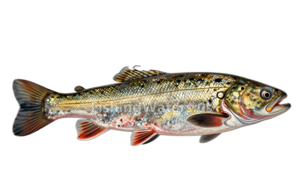
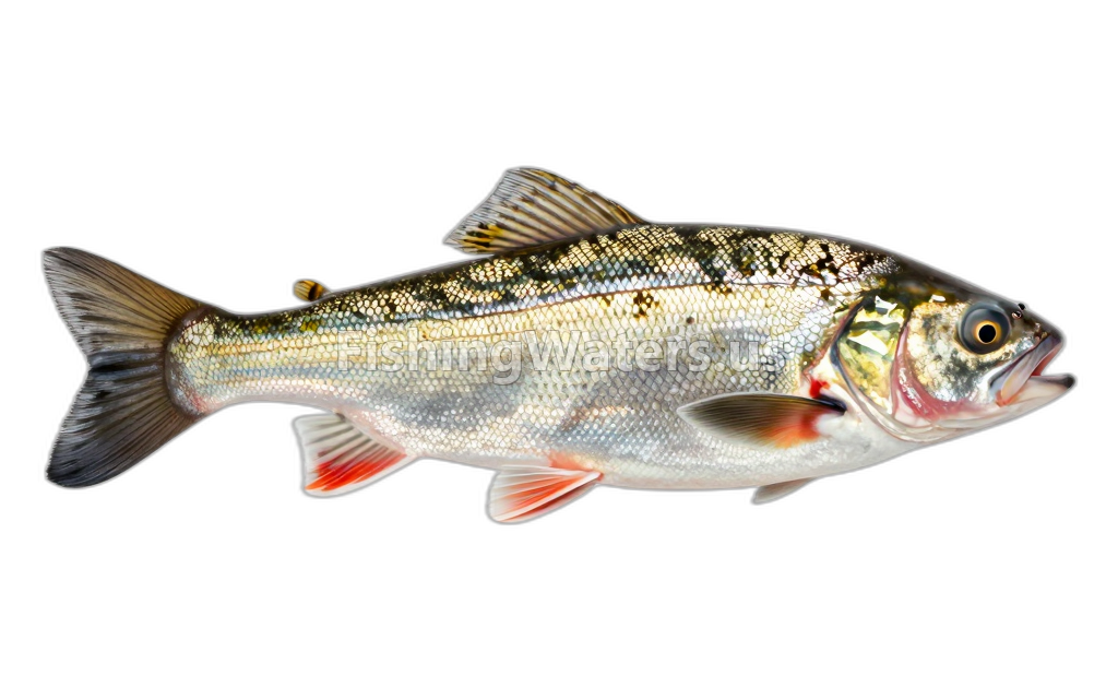
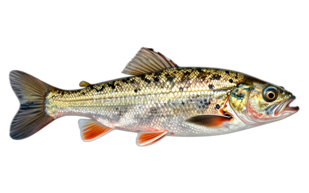
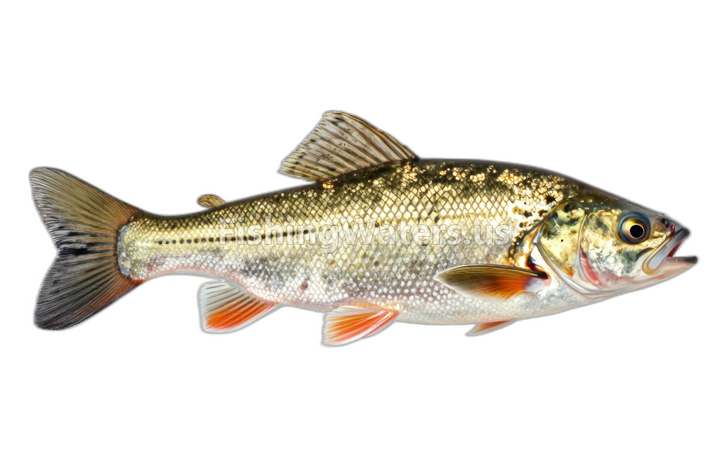
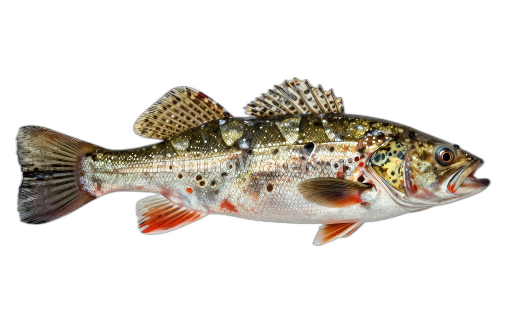
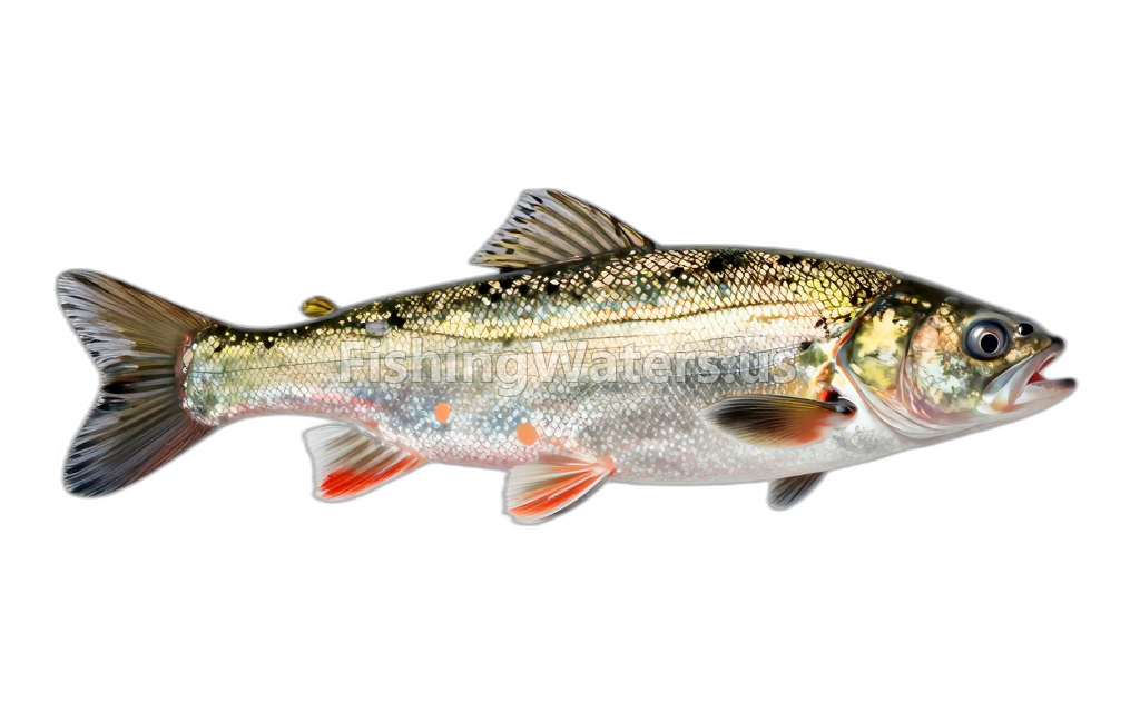
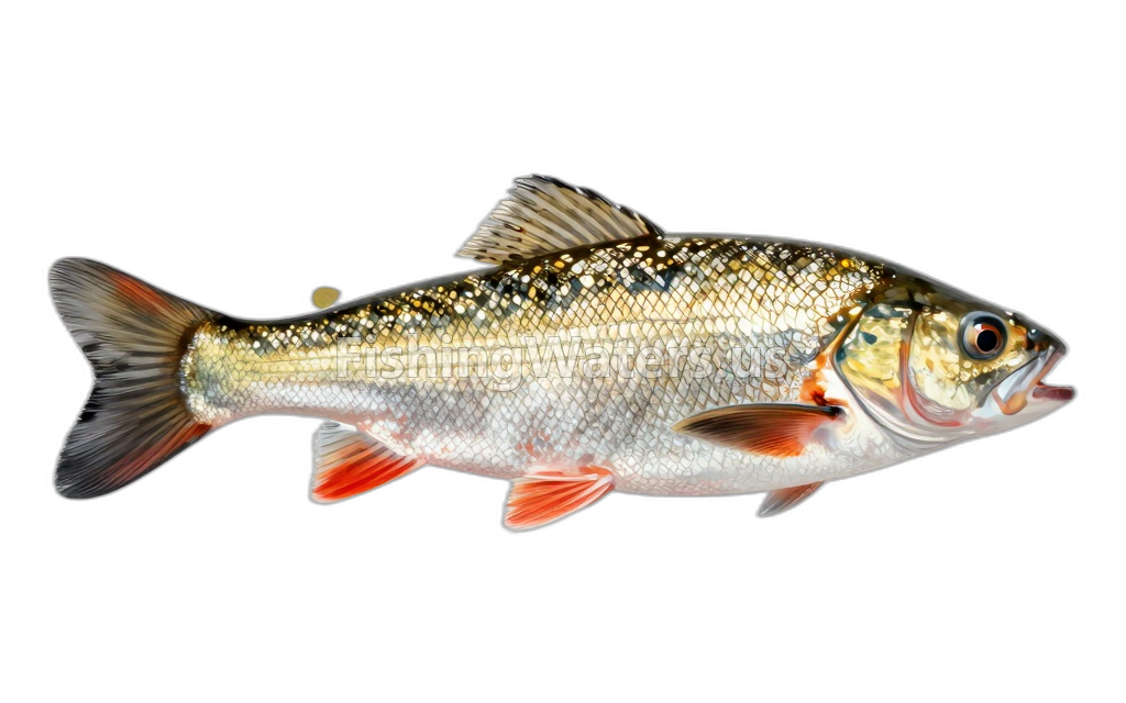
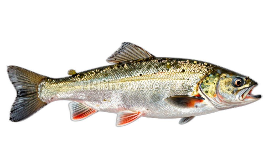
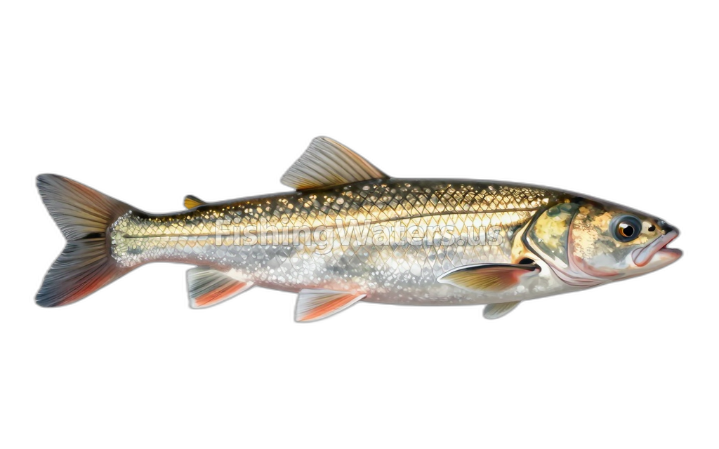
Fishery surveys and lake profiles
American brook lamprey survey
Jan 1, 1951
Fish occurrence record
View official surveyCommon shiner survey
Jan 1, 1951
Fish occurrence record
View official surveyCreek chub survey
Jan 1, 1951
Fish occurrence record
View official surveyIowa darter survey
Jan 1, 1951
Fish occurrence record
View official surveyMottled sculpin survey
Jan 1, 1951
Fish occurrence record
View official surveyNorthern redbelly dace survey
Jan 1, 1951
Fish occurrence record
View official surveyWestern blacknose dace survey
Jan 1, 1951
Fish occurrence record
View official surveyWhite sucker survey
Jan 1, 1951
Fish occurrence record
View official surveyNorthern pearl dace survey
Jan 1, 1951
Fish occurrence record
View official surveySurvey findings describe the recorded visit and may not reflect current conditions.
Fishing access
Shore access
Diamond Lake
Public access
View official access informationWater monitoring
DIAMOND LAKE NEAR TUSTIN, MI
U.S. Geological Survey
DIAMOND LAKE NEAR TUSTIN, MI (3 FT AB LK BOT)
U.S. Geological Survey
DIAMOND LAKE NEAR TUSTIN, MI (PHOTIC ZONE)
U.S. Geological Survey
DIAMOND LAKE NEAR TUSTIN, MI (3 FT BL LK SURF)
U.S. Geological Survey
DIAMOND LAKE NEAR TUSTIN, MI (MID-DEPTH)
U.S. Geological Survey
Nearby station readings describe the monitoring location, not necessarily the whole waterbody.
Fishing waters nearby
Michigan fishing resources
Official statewide resources
Sources
- Michigan Department of Natural Resources
- U.S. Geological Survey