Lake · Michigan
Crooked Lake Fishing
Crooked Lake is a lake in Emmet County, Michigan. This guide includes fish species, fishery surveys, fishing access and monitoring stations.
Quick facts
- Location
- Emmet County, Michigan
- Coordinates
- 45.4109, -84.8259
- Water type
- Lake
- Sunrise
- 12:42 UTC
- Sunset
- 22:06 UTC
- Day length
- 9.4 hours
Location map
Current fishing weather
Fish species
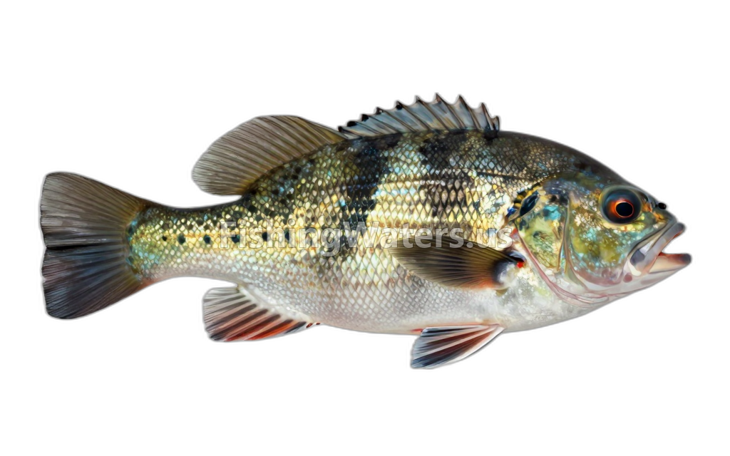 BluegillLepomis macrochirus
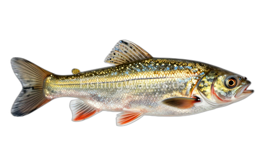 Bluntnose MinnowPimephales notatus
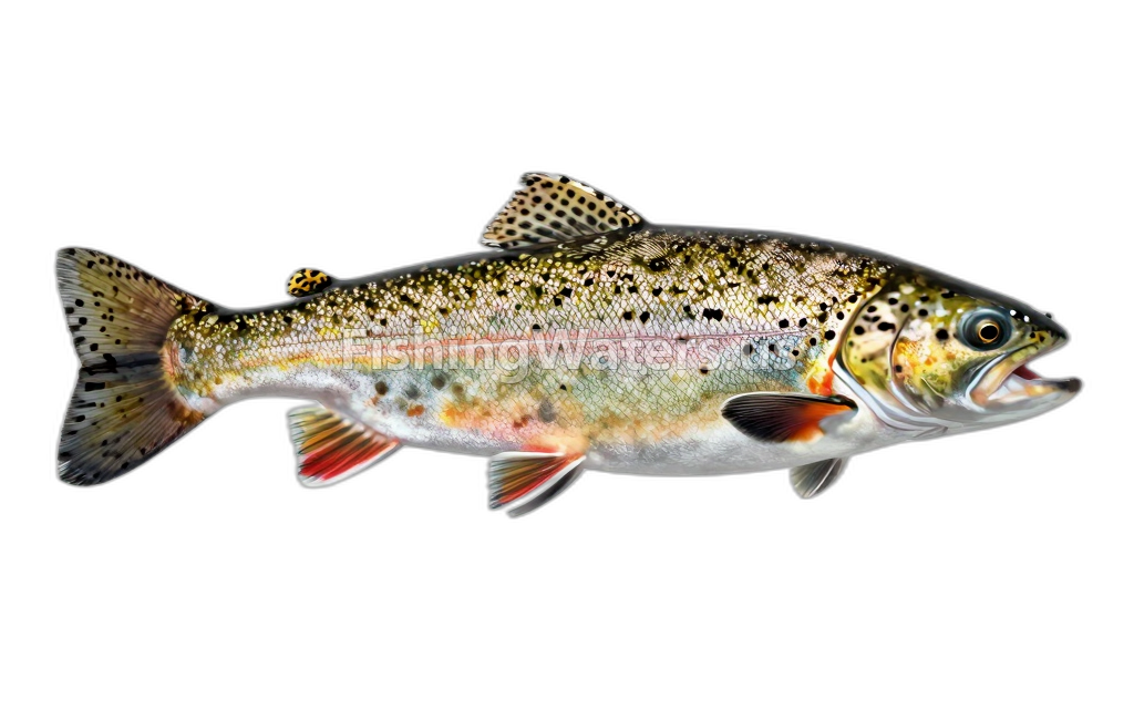 Brook TroutSalvelinus fontinalis
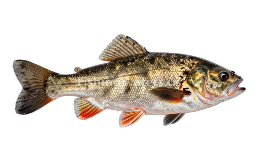 Brown BullheadAmeiurus nebulosus
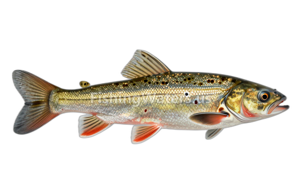 Central MudminnowUmbra limi
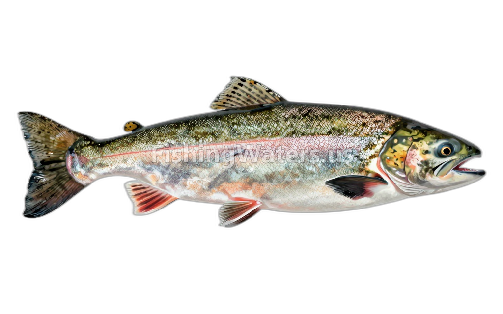 coho salmon
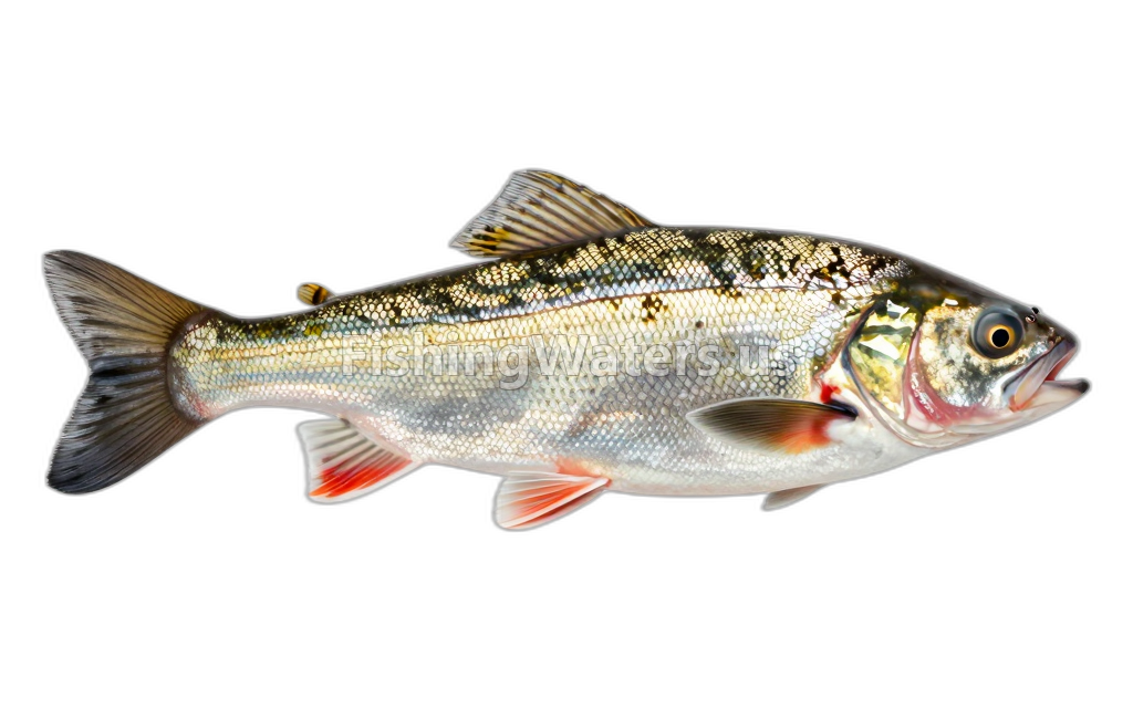 Common ShinerLuxilus cornutus
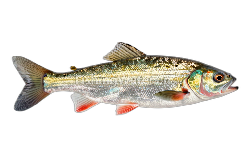 Emerald Shiner
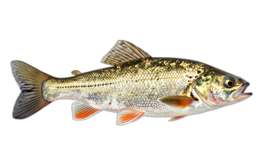 Iowa DarterEtheostoma exile
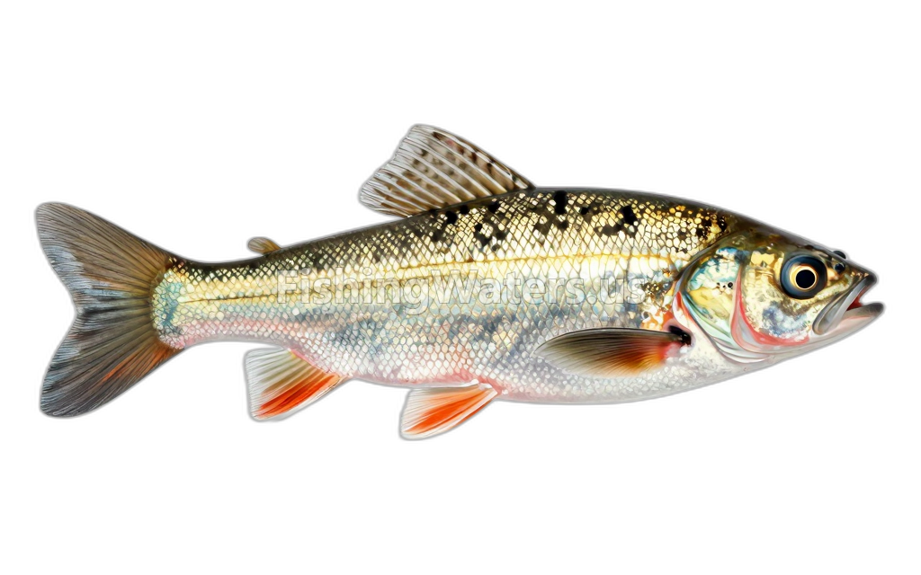 Johnny DarterEtheostoma nigrum
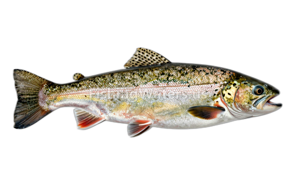 lake trout
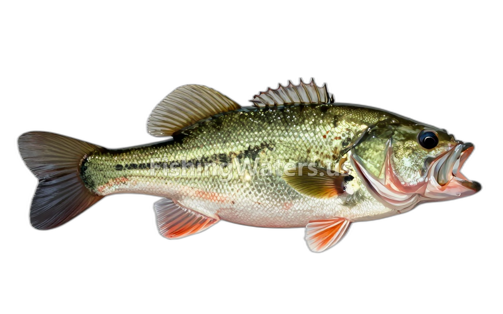 Largemouth BassMicropterus salmoides
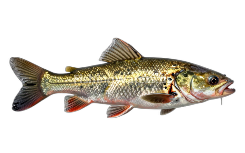 Longnose Gar
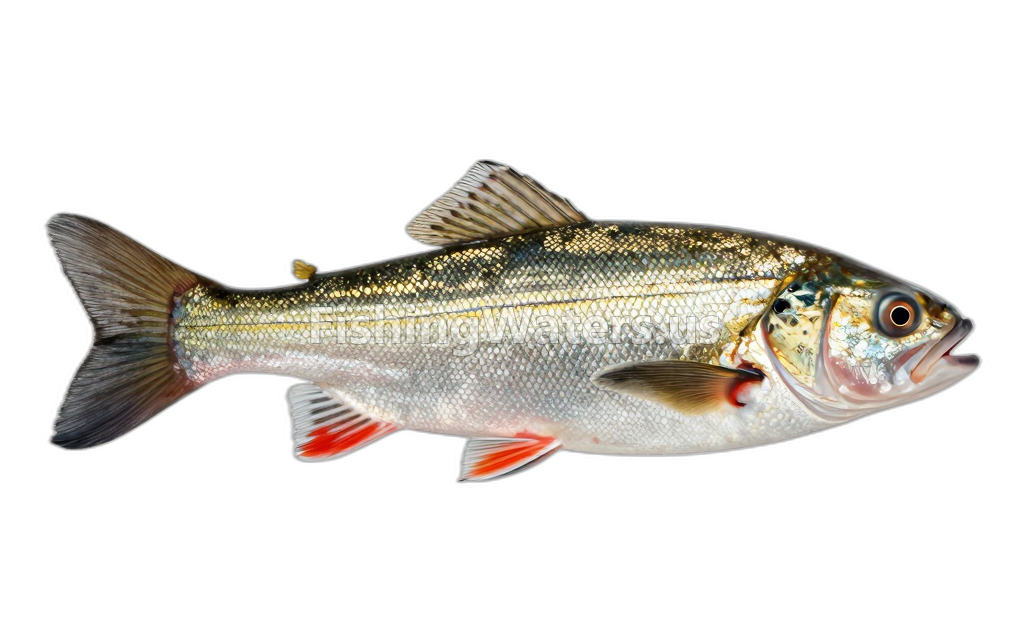 Mimic Shiner
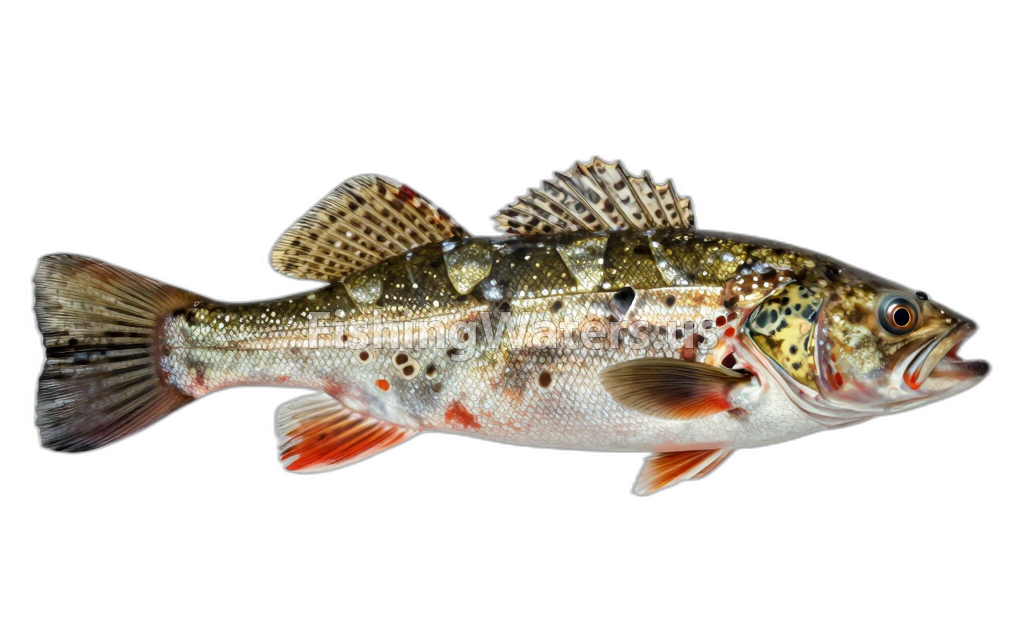 Mottled sculpinCottus bairdii
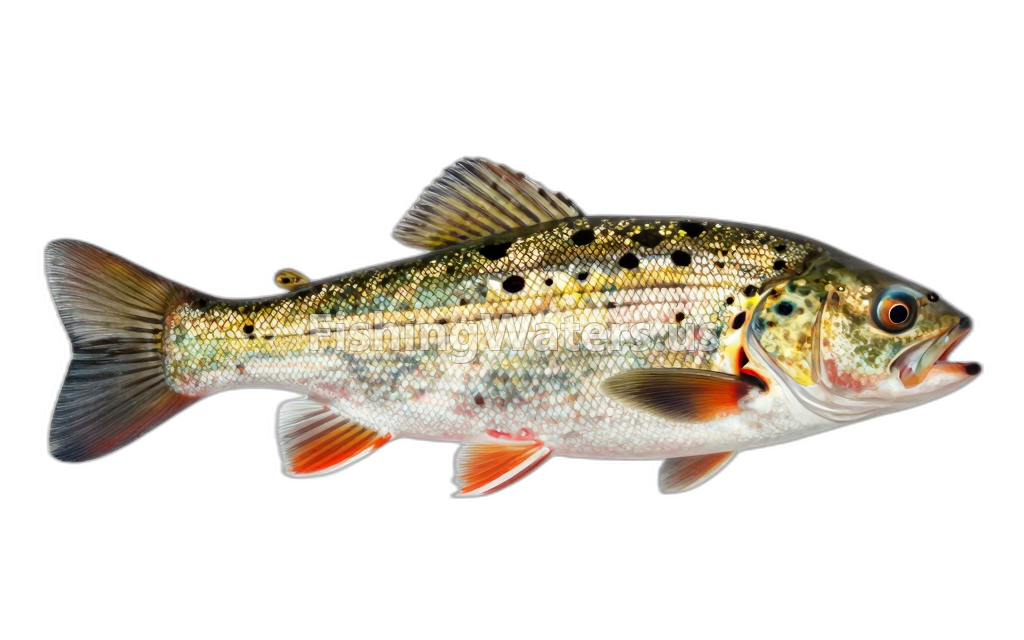 Northern logperchPercina caprodes semifasciata
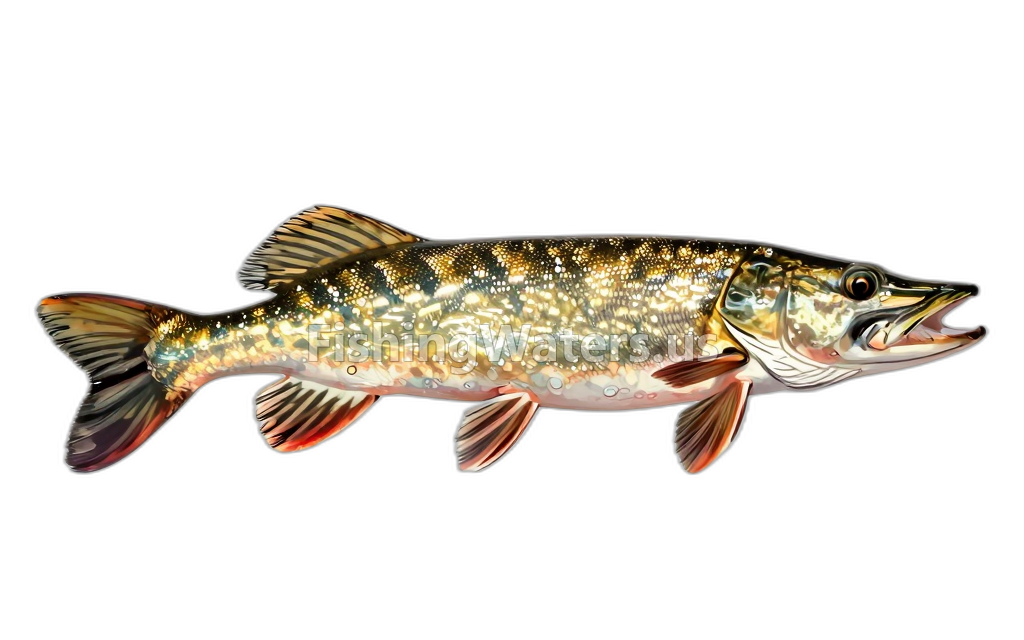 Northern PikeEsox lucius
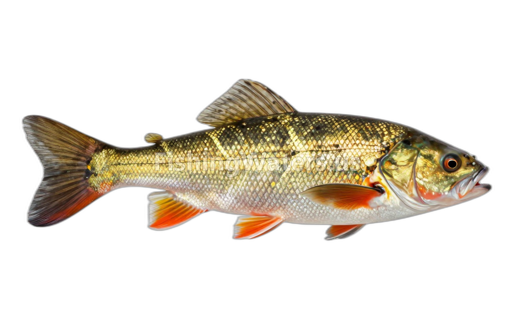 PumpkinseedLepomis gibbosus
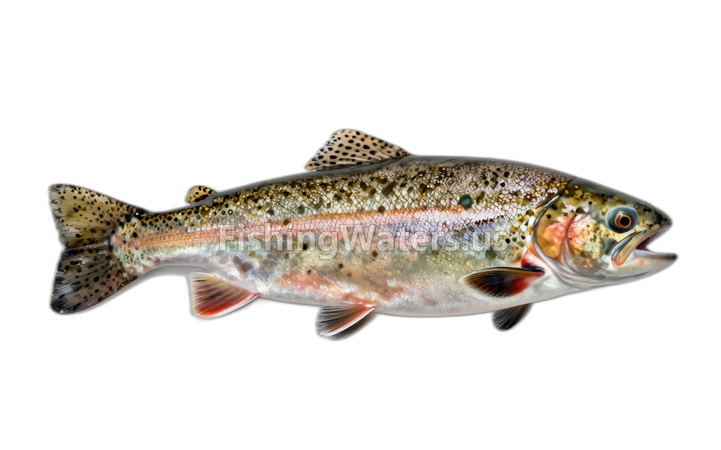 rainbow troutOncorhynchus mykiss
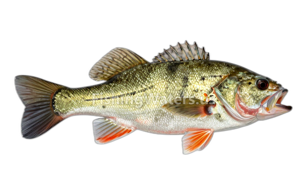 Rock BassAmbloplites rupestris
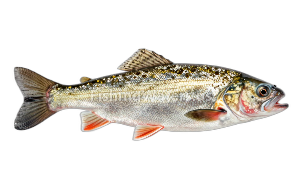 Sand ShinerNotropis stramineus
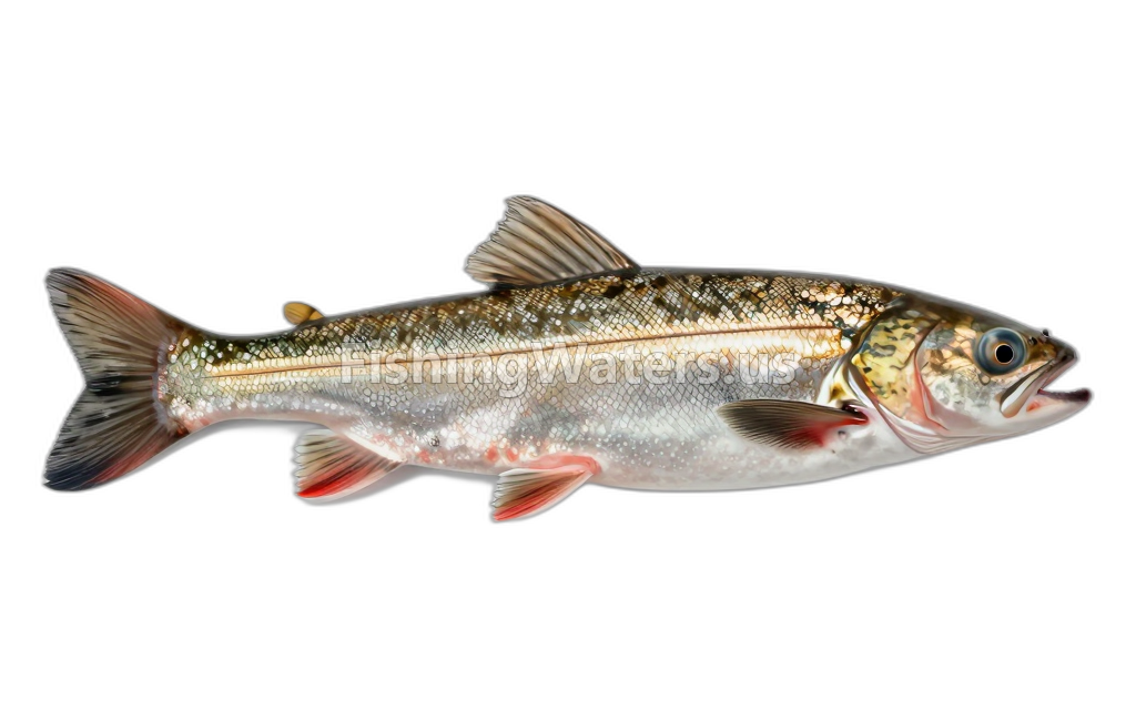 Silver LampreyIchthyomyzon unicuspis
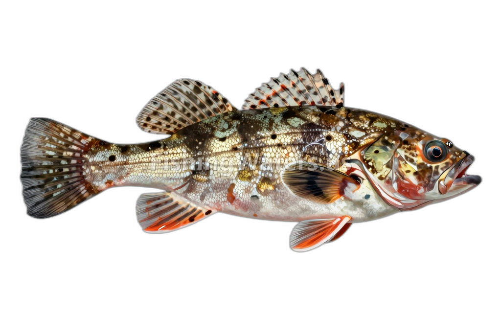 Slimy Sculpin
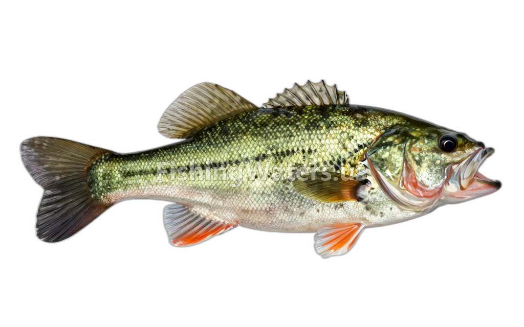 Smallmouth BassMicropterus dolomieu
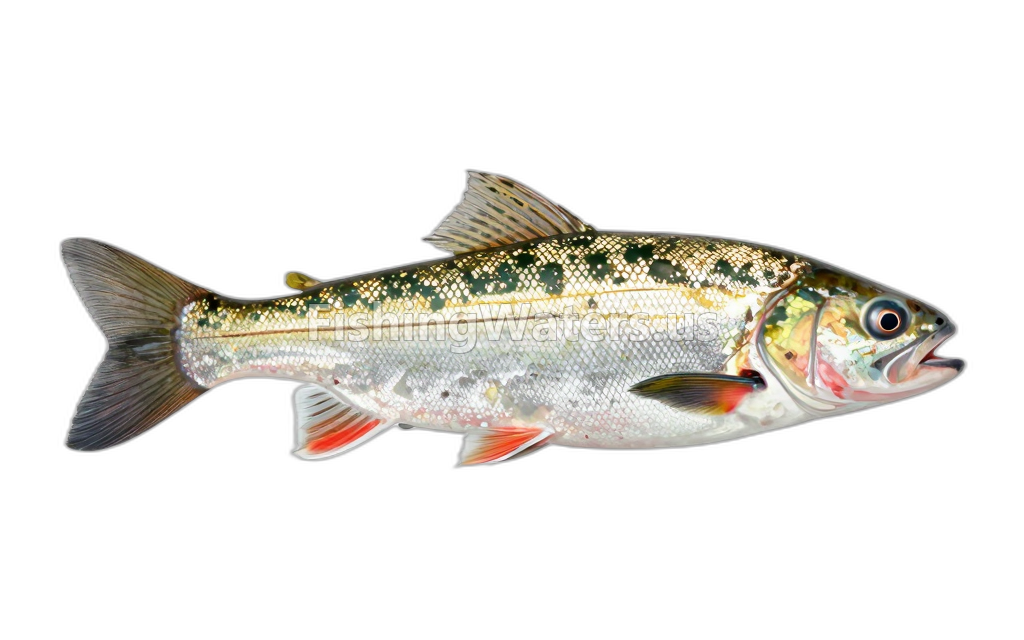 Spottail Shiner
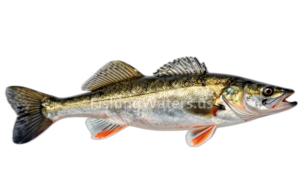 WalleyeSander vitreus
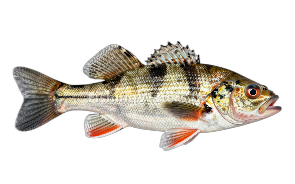 Western banded killifishFundulus diaphanus menona
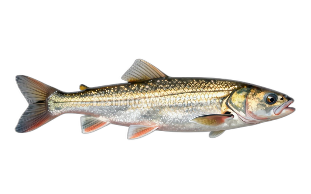 White SuckerCatostomus commersonii
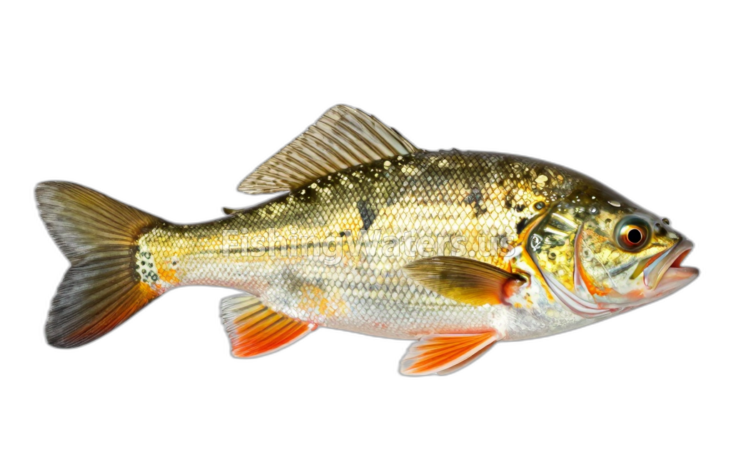 Yellow BullheadAmeiurus natalis
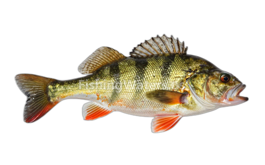 Yellow PerchPerca flavescens
Fishery surveys and lake profiles
Coho salmon survey
Jan 1, 1965
Fish occurrence record
View official surveySilver lamprey survey
Jan 1, 1959
Fish occurrence record
View official surveyBluegill survey
Jan 1, 1954
Fish occurrence record
View official surveyBluntnose minnow survey
Jan 1, 1954
Fish occurrence record
View official surveyBrown bullhead survey
Jan 1, 1954
Fish occurrence record
View official surveyCentral mudminnow survey
Jan 1, 1954
Fish occurrence record
View official surveyCommon shiner survey
Jan 1, 1954
Fish occurrence record
View official surveyEmerald shiner survey
Jan 1, 1954
Fish occurrence record
View official surveyIowa darter survey
Jan 1, 1954
Fish occurrence record
View official surveyJohnny darter survey
Jan 1, 1954
Fish occurrence record
View official surveySurvey findings describe the recorded visit and may not reflect current conditions.
Fishing access
Shore access
Crooked Lake
Public access
View official access informationWater monitoring
CROOKED LAKE NEAR CONWAY, MI (CMI)
U.S. Geological Survey
CROOKED LAKE NEAR CONWAY, MI (3 FT AB LK BOT)
U.S. Geological Survey
CROOKED LAKE NEAR CONWAY, MI (PHOTIC ZONE)
U.S. Geological Survey
CROOKED LAKE NEAR CONWAY, MI (3 FT BL LK SURF)
U.S. Geological Survey
CROOKED LAKE NEAR CONWAY, MI (MID-DEPTH)
U.S. Geological Survey
CROOKED LAKE NEAR CONWAY, MI (WATER LEVELS)
U.S. Geological Survey
Nearby station readings describe the monitoring location, not necessarily the whole waterbody.
Fishing waters nearby
Michigan fishing resources
Official statewide resources
Sources
- Michigan Department of Natural Resources
- U.S. Geological Survey