Lake · Michigan
Cedar Hedge Lake Fishing
Cedar Hedge Lake is a lake in Grand Traverse County, Michigan. This guide includes fish species, fishery surveys, fishing access, local fishing regulations, water-quality assessments and monitoring stations.
Quick facts
- Location
- Grand Traverse County, Michigan
- Coordinates
- 44.6711, -85.7831
- Water type
- Lake
- Sunrise
- 12:44 UTC
- Sunset
- 22:12 UTC
- Day length
- 9.5 hours
Location map
Current fishing weather
Fish species
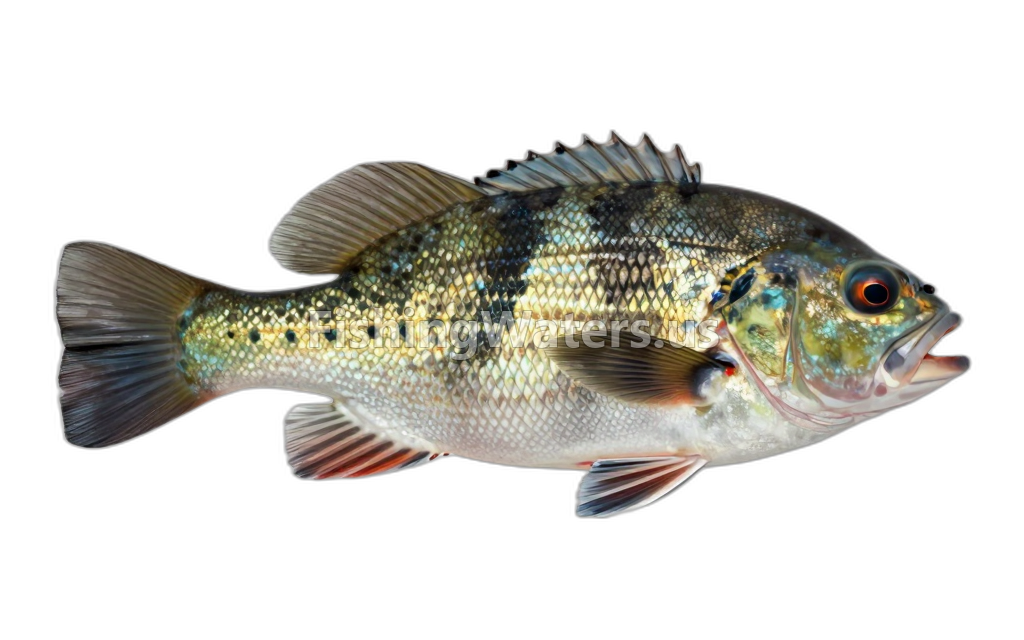
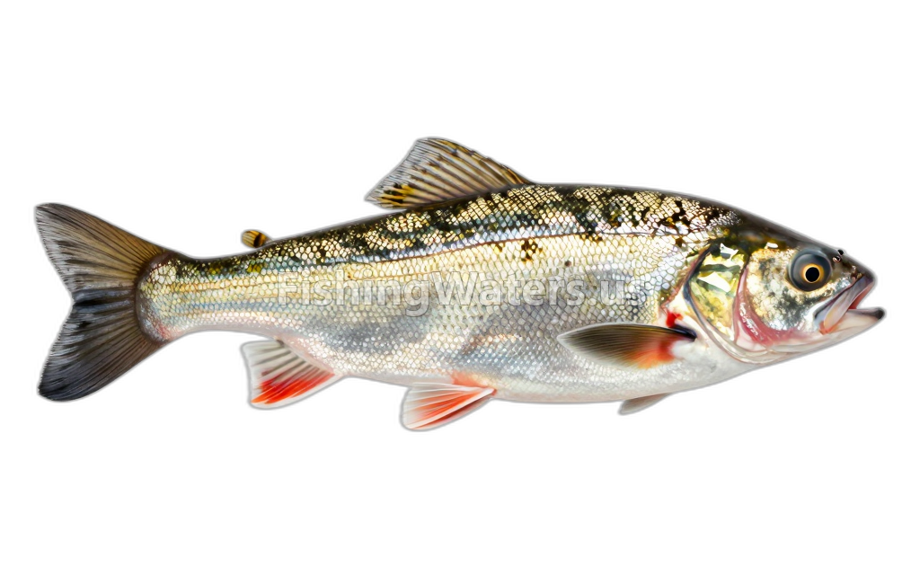
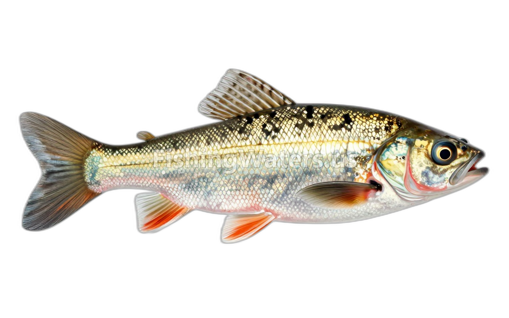
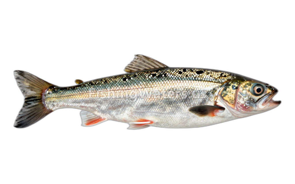
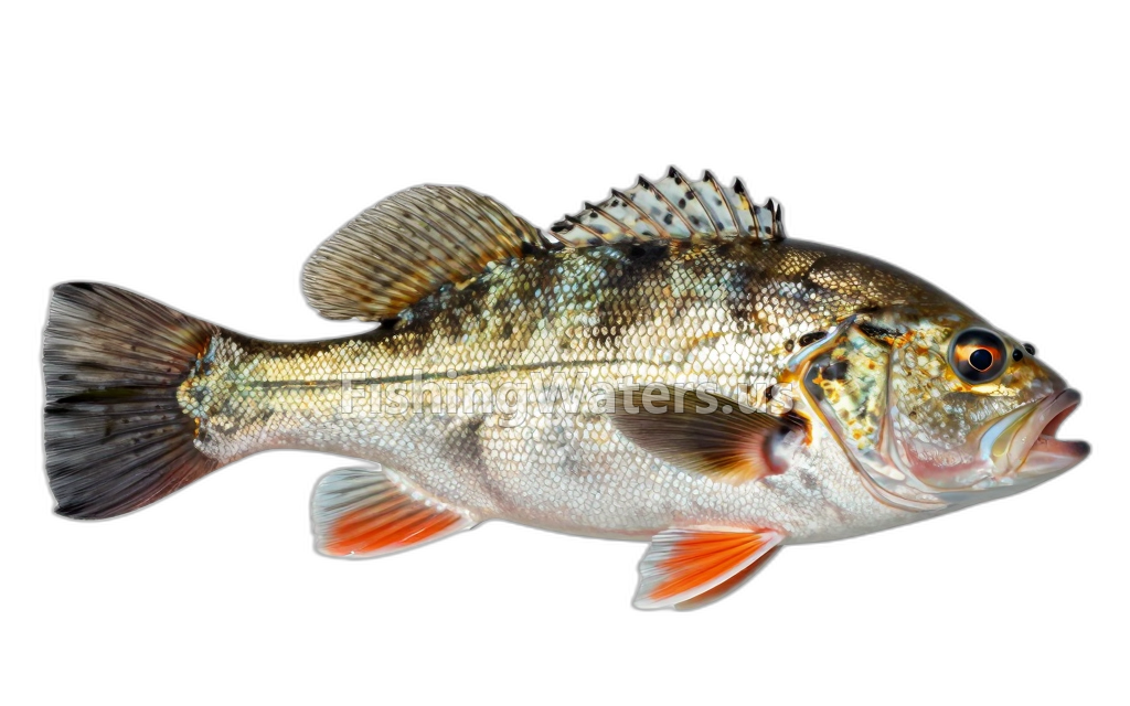
Fishery surveys and lake profiles
Bluegill survey
Jan 1, 1998
Fish occurrence record
View official surveyCommon shiner survey
Jan 1, 1998
Fish occurrence record
View official surveyJohnny darter survey
Jan 1, 1998
Fish occurrence record
View official surveyNorthern longear sunfish survey
Jan 1, 1998
Fish occurrence record
View official surveyLake herring survey
Jan 1, 1977
Fish occurrence record
View official surveyLake herring survey
Jan 1, 1967
Fish occurrence record
View official surveySurvey findings describe the recorded visit and may not reflect current conditions.
Fishing access
Shore access
Cedar Hedge Lake
Public access
View official access informationFishing regulations
Waterbody fishing rules
Daily and possession limit: 5 fish, with no more than 3 trout 15“ or greater. Zero (0) Arctic Grayling.
Season: January 1st–December 31st
All types of natural bait and artificial lures may be used.
View official regulationsCheck the official source for current dates, limits and exceptions before fishing.
Water quality
EPA assessment information is available for this waterbody.
EPA assessment
Assessed area: 191.4 acres
View EPA assessmentEPA water-quality assessments are separate from fish-consumption advisories.
Water monitoring
CEDAR HEDGE LAKE SWB NEAR INTERLOCHEN, MI
U.S. Geological Survey
CEDAR HEDGE LK SWB NR INTERLOCHEN, MI (3FT AB BOT)
U.S. Geological Survey
CEDAR HEDGE LK SWB NR INTERLOCHEN, MI(PHOTIC ZONE)
U.S. Geological Survey
CEDAR HEDGE LK SWB NR INTERLOCHEN, MI (3FT BL SRF)
U.S. Geological Survey
CEDAR HEDGE LK SWB NR INTERLOCHEN, MI (MID-DEPTH)
U.S. Geological Survey
CEDAR HEDGE LAKE NEB NR INTERLOCHEN, MI
U.S. Geological Survey
CEDAR HEDGE LK NEB NR INTERLOCHEN, MI (3FT AB BOT)
U.S. Geological Survey
CEDAR HEDGE LK NEB NR INTERLOCHEN, MI(PHOTIC ZONE)
U.S. Geological Survey
Nearby station readings describe the monitoring location, not necessarily the whole waterbody.
Fishing waters nearby
Michigan fishing resources
Official statewide resources
Sources
- Michigan Department of Natural Resources
- U.S. Environmental Protection Agency
- U.S. Geological Survey