Lake · Michigan
Allen Lake Fishing
Allen Lake is a lake in Iosco County, Michigan. This guide includes fish species, fishery surveys, fishing access and monitoring stations.
Quick facts
- Location
- Iosco County, Michigan
- Coordinates
- 44.4346, -83.4162
- Water type
- Lake
- Sunrise
- 12:34 UTC
- Sunset
- 22:03 UTC
- Day length
- 9.5 hours
Location map
Current fishing weather
Fish species
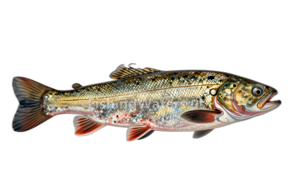 American brook lampreyLampetra appendix
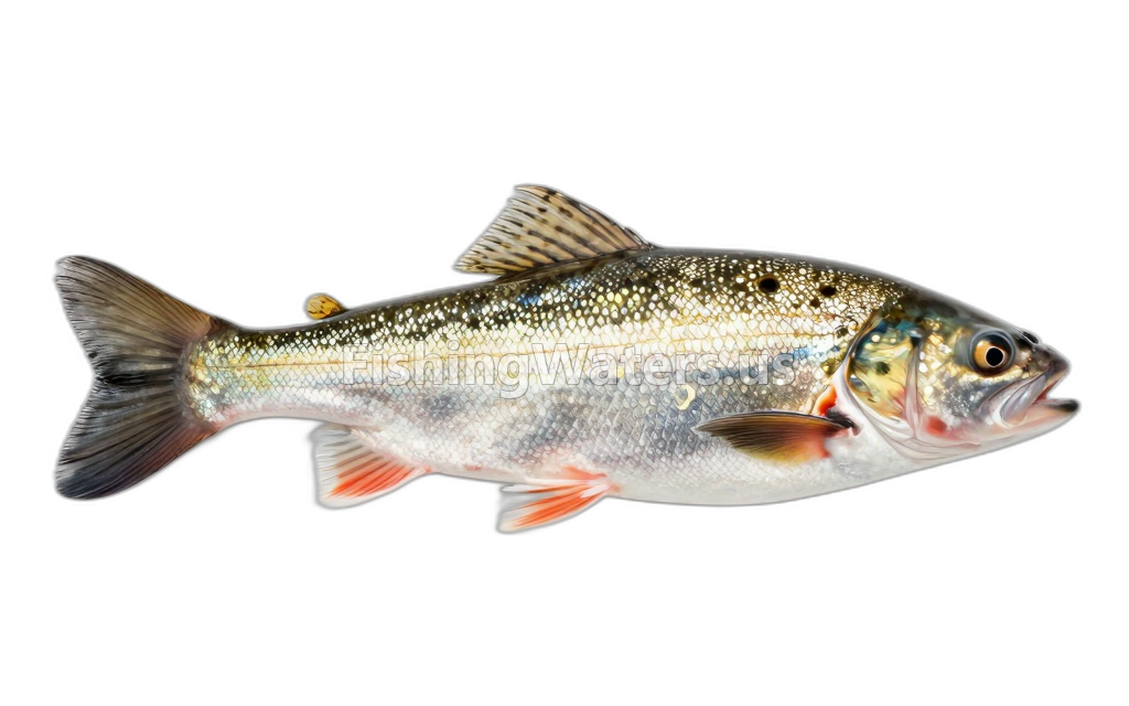 Blackchin shinerNotropis heterodon
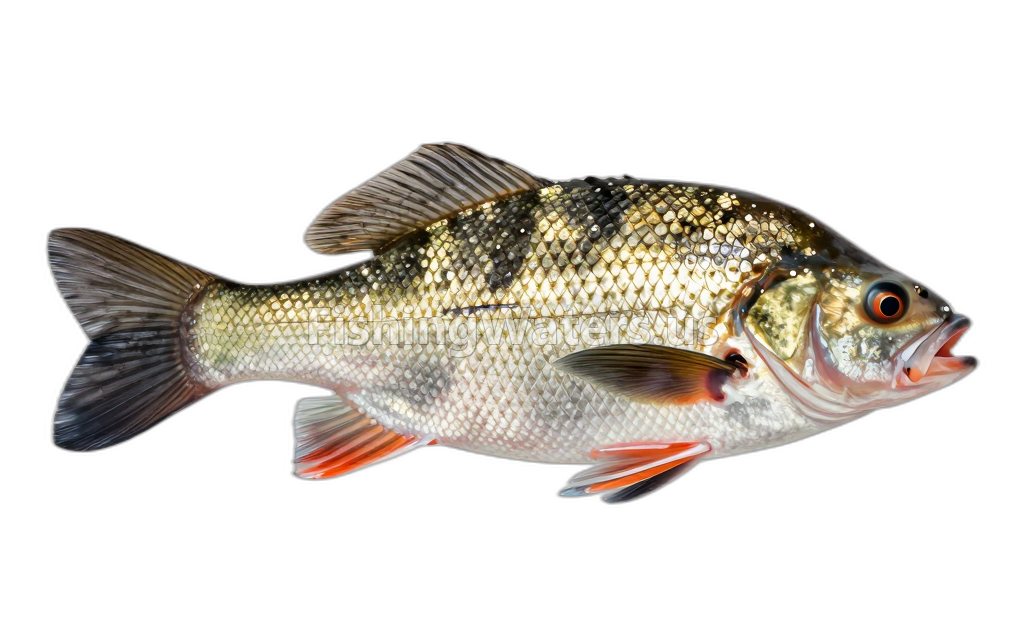 Black CrappiePomoxis nigromaculatus
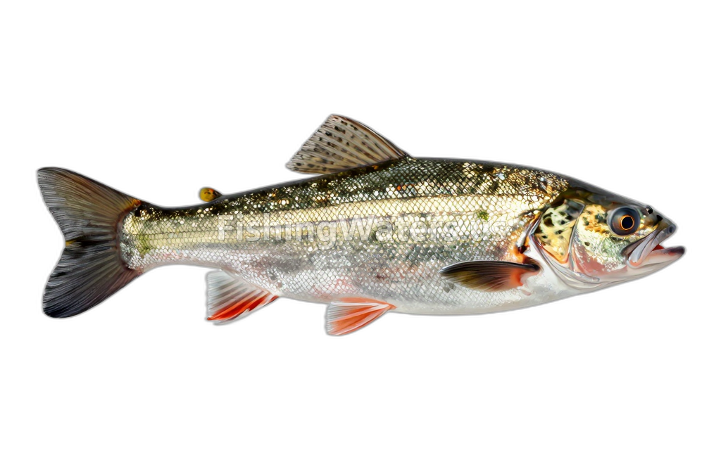 Blacknose ShinerNotropis heterolepis
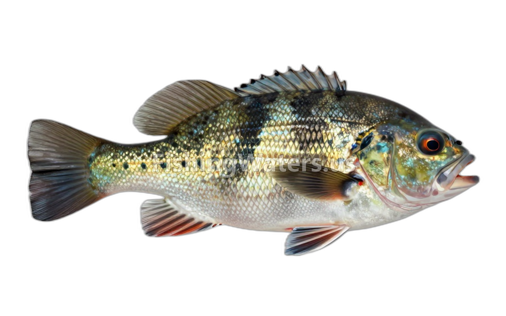 BluegillLepomis macrochirus
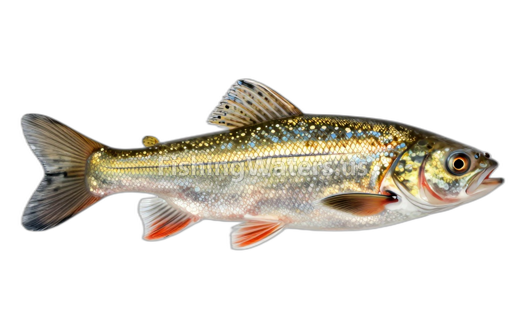 Bluntnose MinnowPimephales notatus
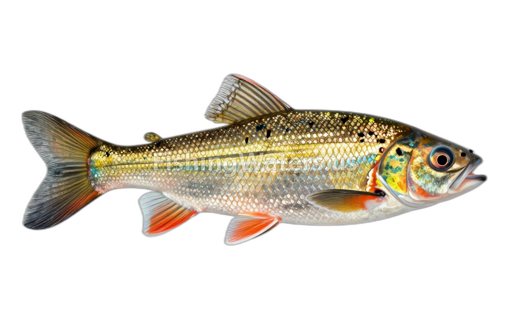 Brassy MinnowHybognathus hankinsoni
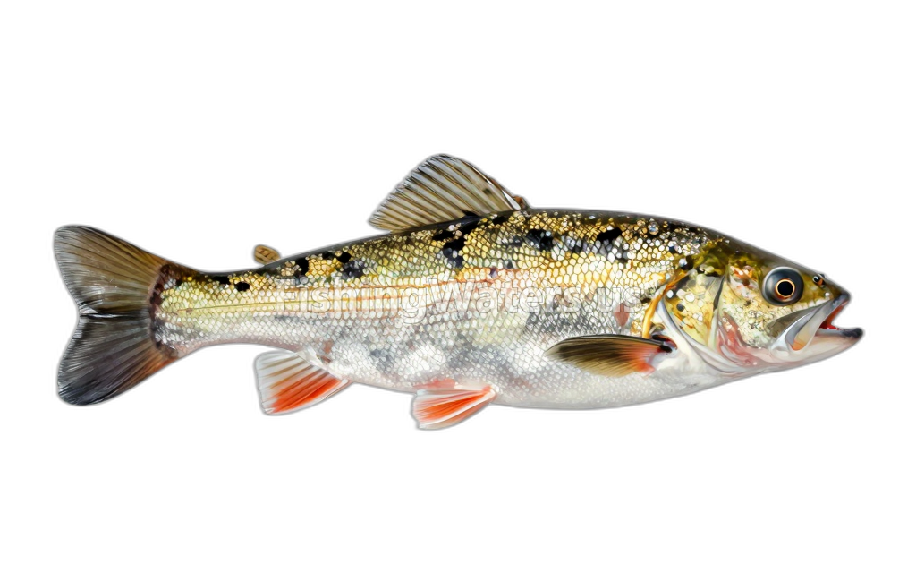 Brook SticklebackCulaea inconstans
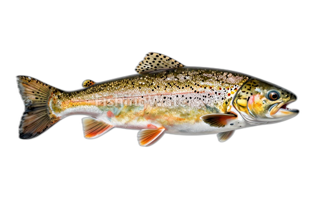 Brown TroutSalmo trutta
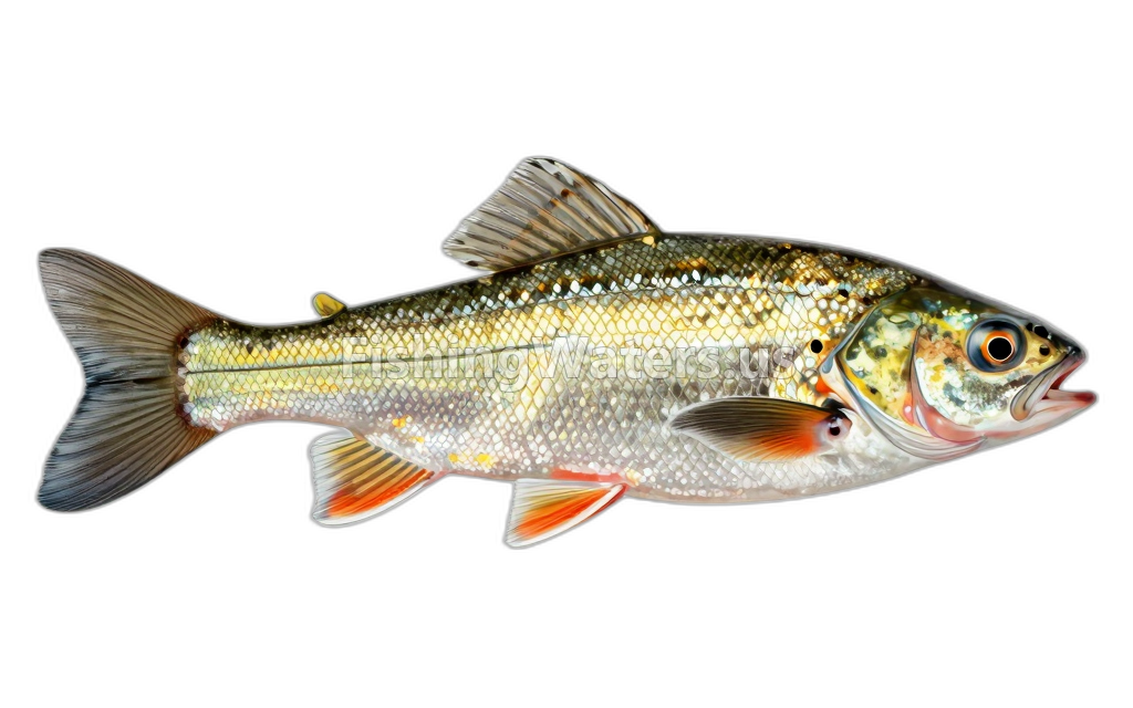 Channel darterPercina copelandi
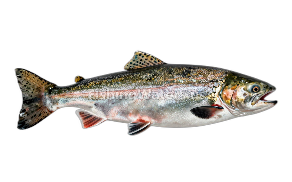 Chinook salmon
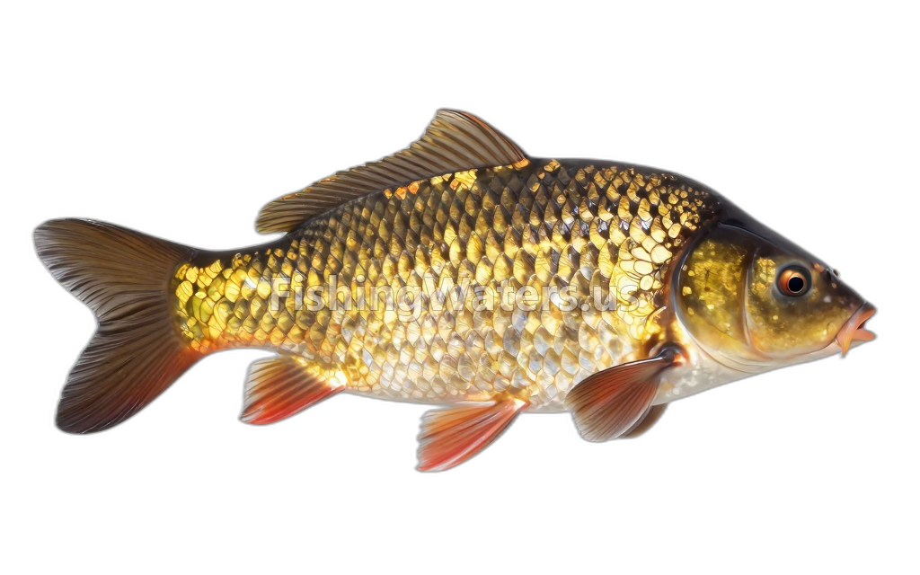 Common CarpCyprinus carpio
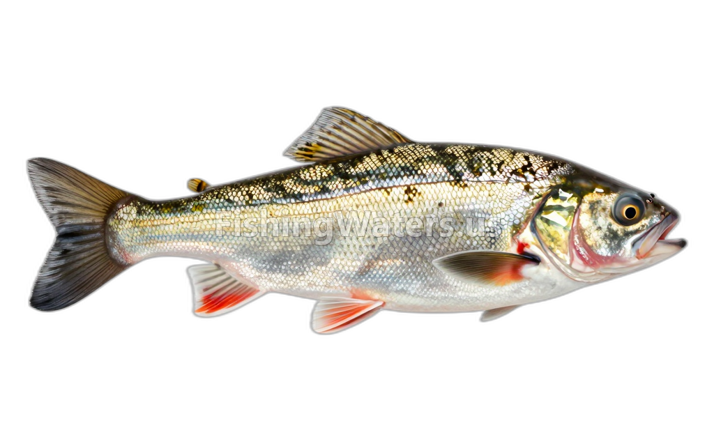 Common ShinerLuxilus cornutus
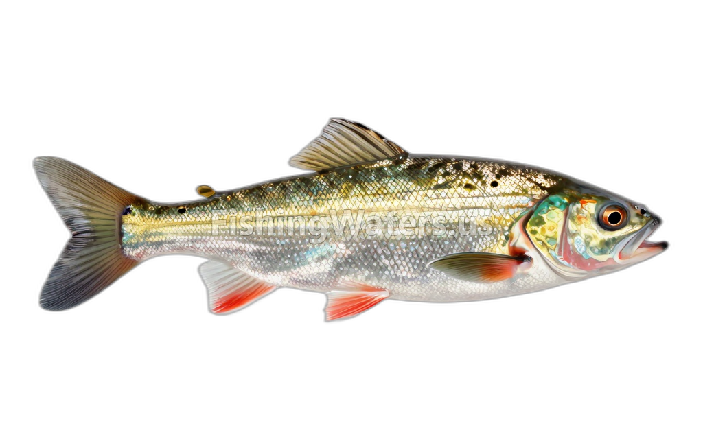 Emerald Shiner
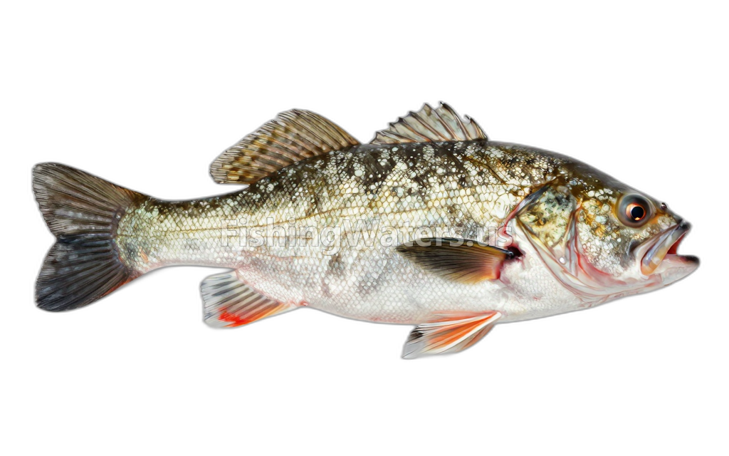 Gizzard shad
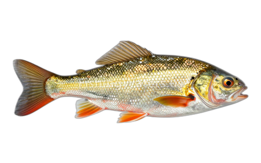 Golden RedhorseMoxostoma erythrurum
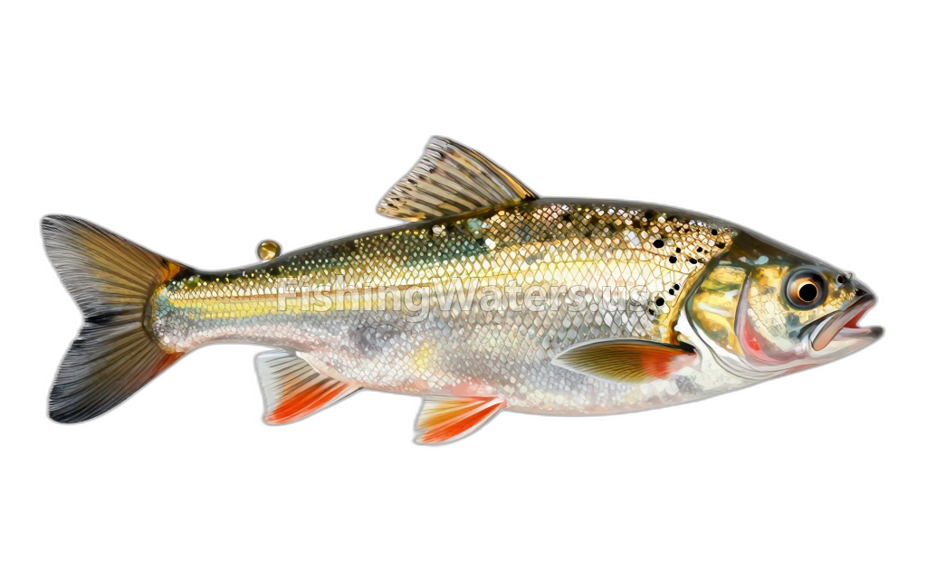 Golden ShinerNotemigonus crysoleucas
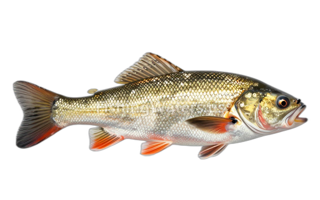 Greater redhorseMoxostoma valenciennesi
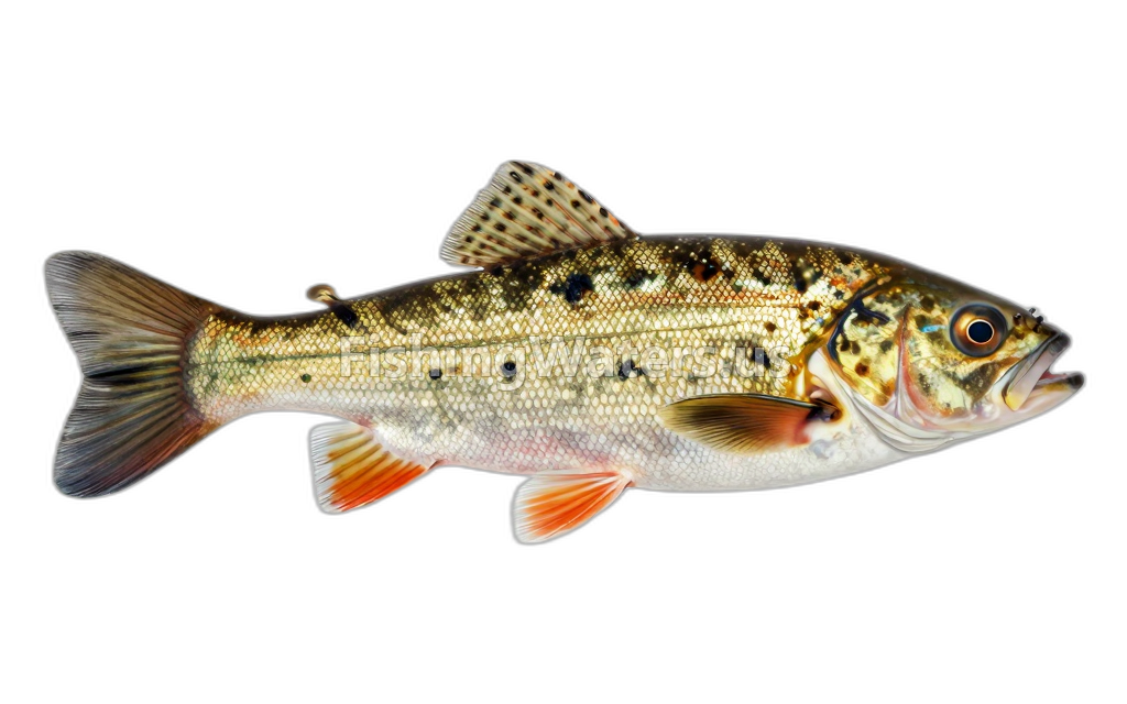 Hornyhead ChubNocomis biguttatus
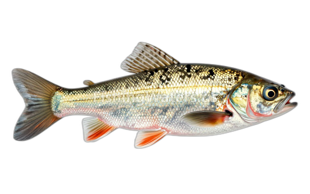 Johnny DarterEtheostoma nigrum
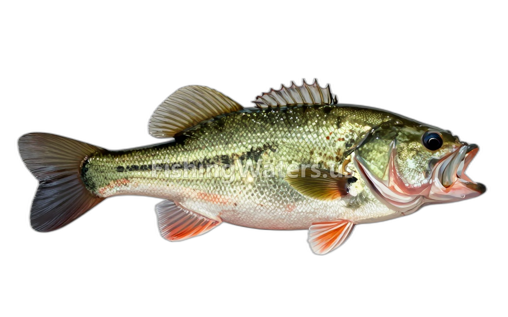 Largemouth BassMicropterus salmoides
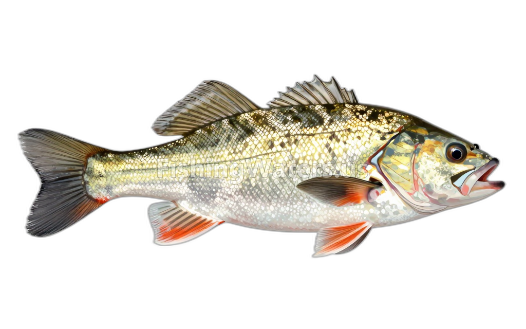 Longnose DaceRhinichthys cataractae
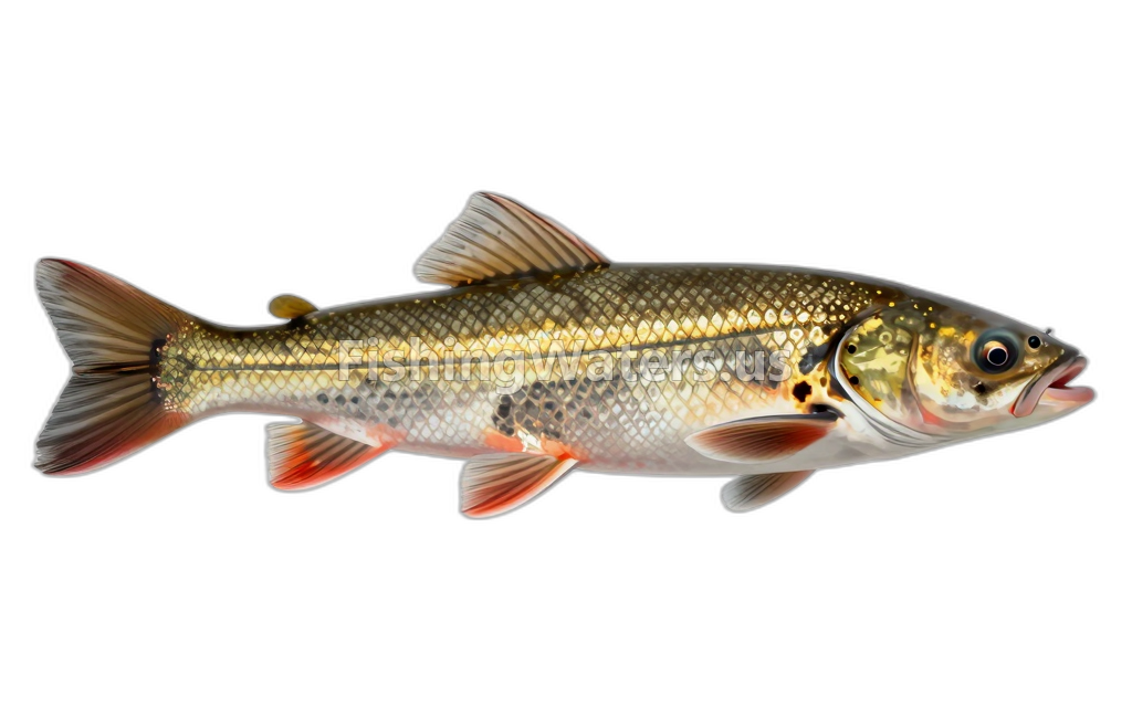 Longnose SuckerCatostomus catostomus
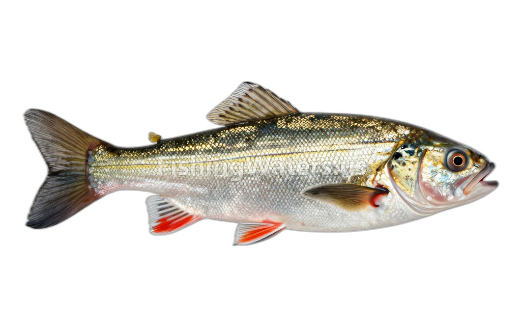 Mimic Shiner
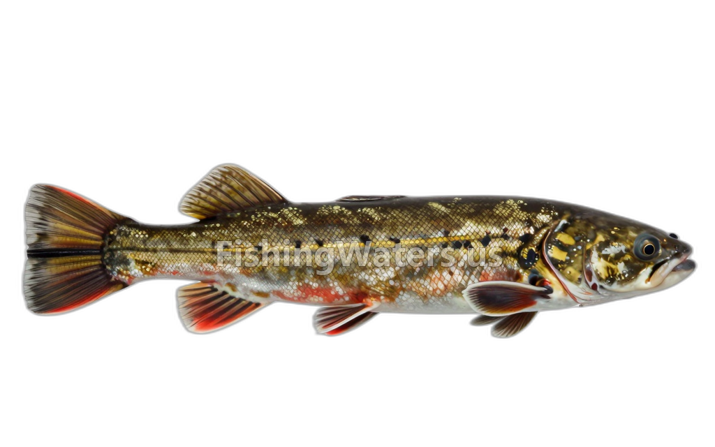 Northern Hog SuckerHypentelium nigricans
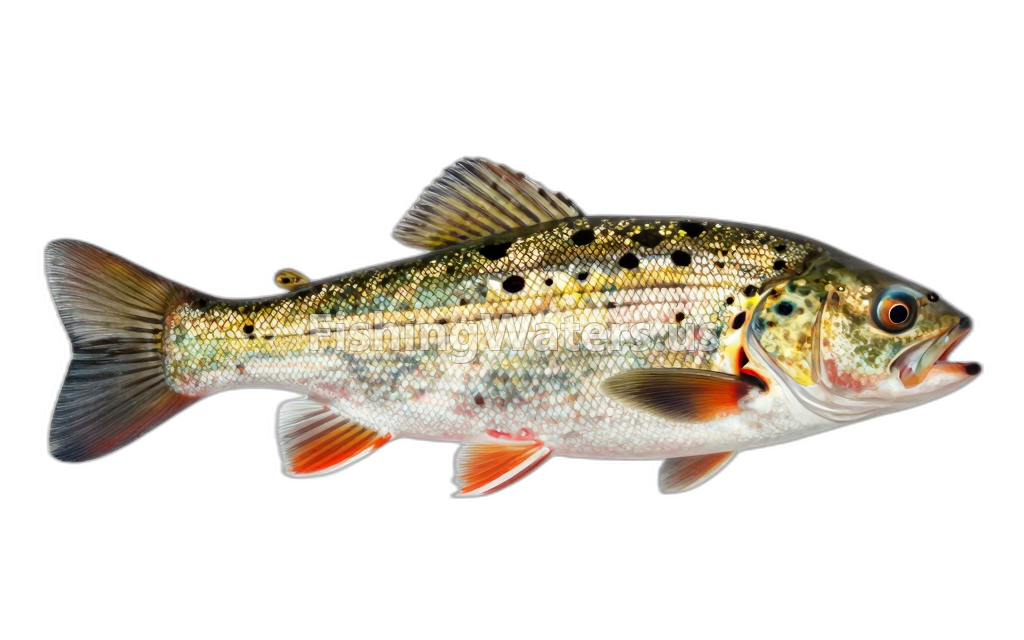 Northern logperchPercina caprodes semifasciata
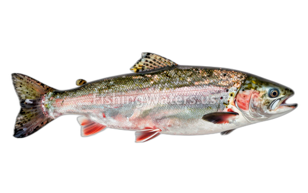 Pink SalmonOncorhynchus gorbuscha
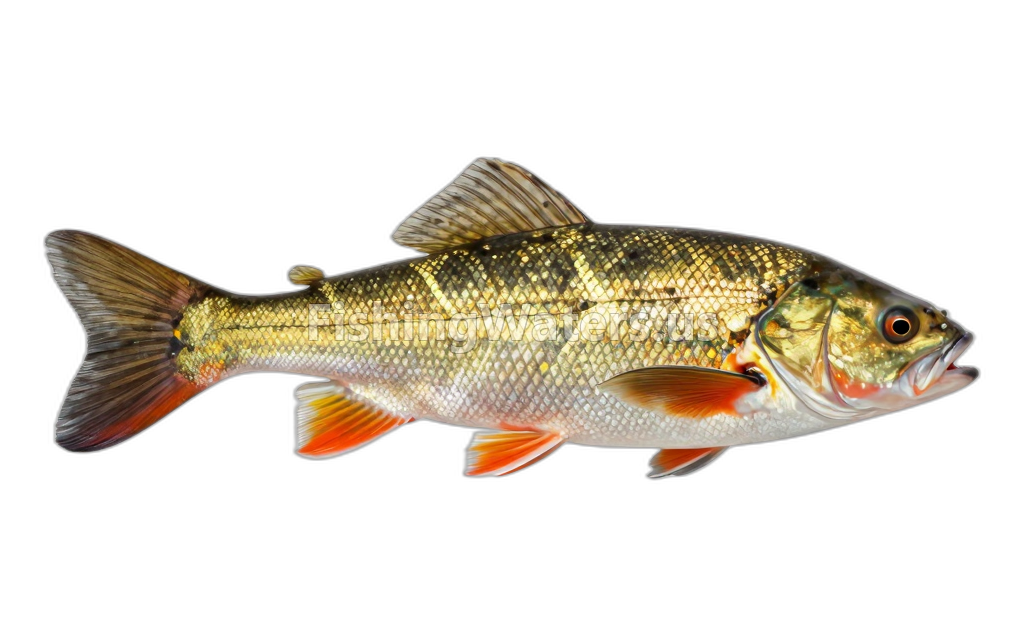 PumpkinseedLepomis gibbosus
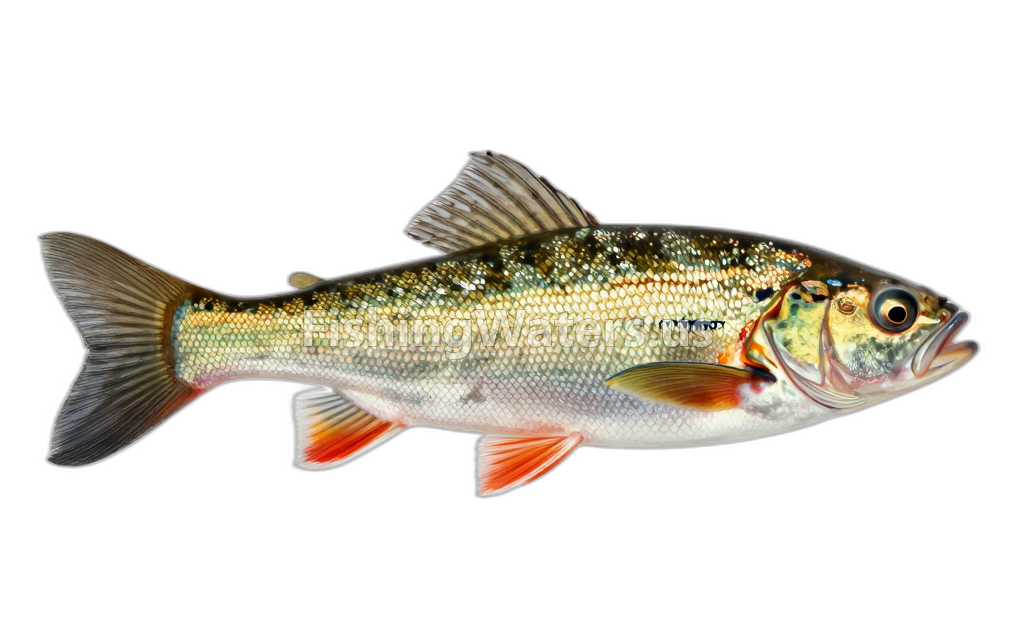 Rainbow DarterEtheostoma caeruleum
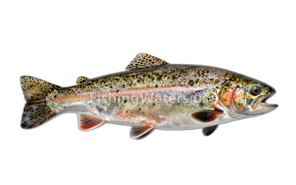 rainbow troutOncorhynchus mykiss
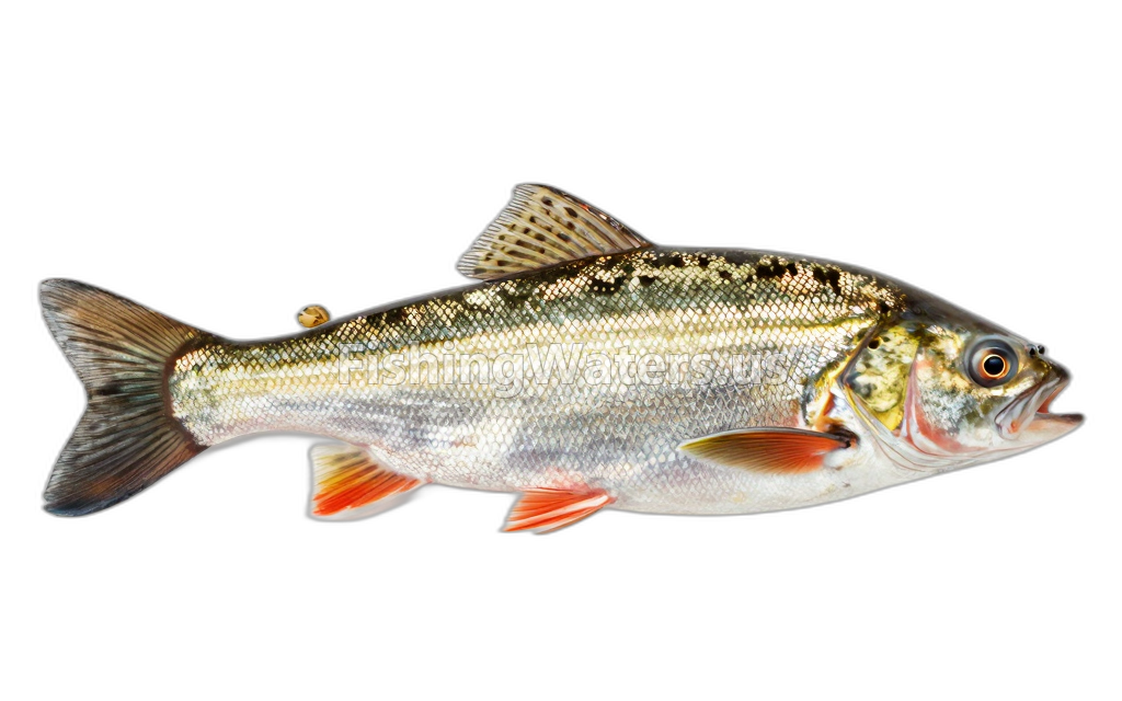 Redfin shinerLythrurus umbratilis
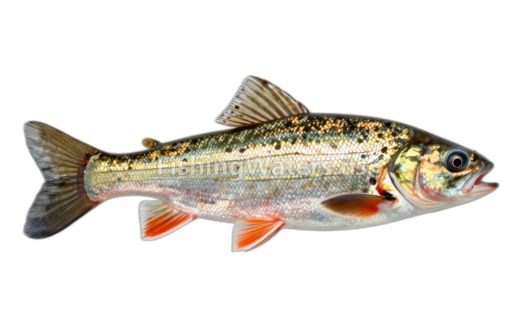 River DarterPercina shumardi
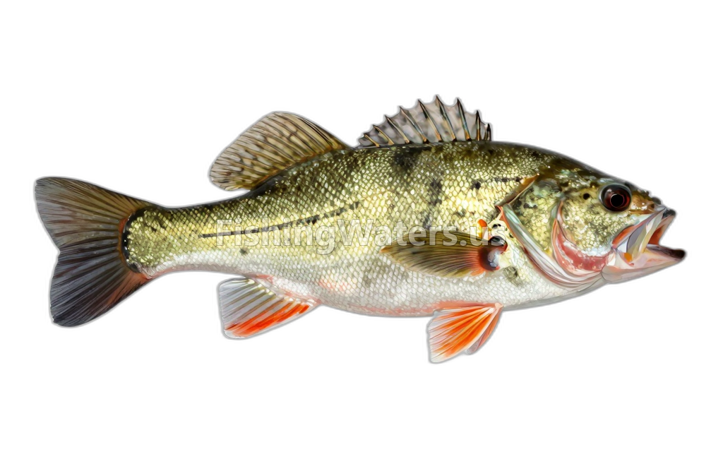 Rock BassAmbloplites rupestris
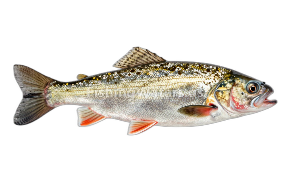 Sand ShinerNotropis stramineus
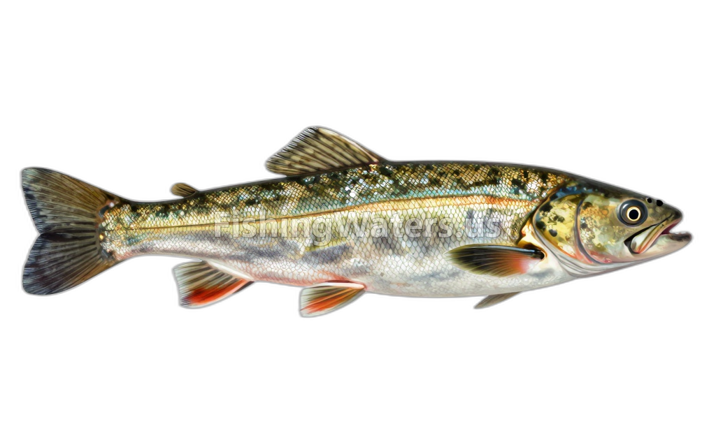 Sea LampreyPetromyzon marinus
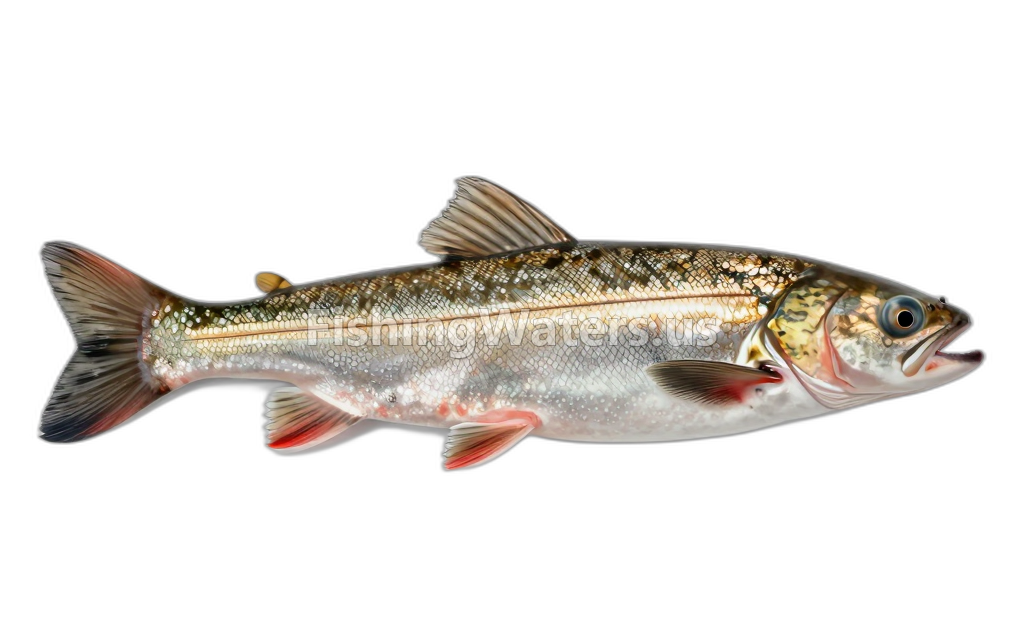 Silver LampreyIchthyomyzon unicuspis
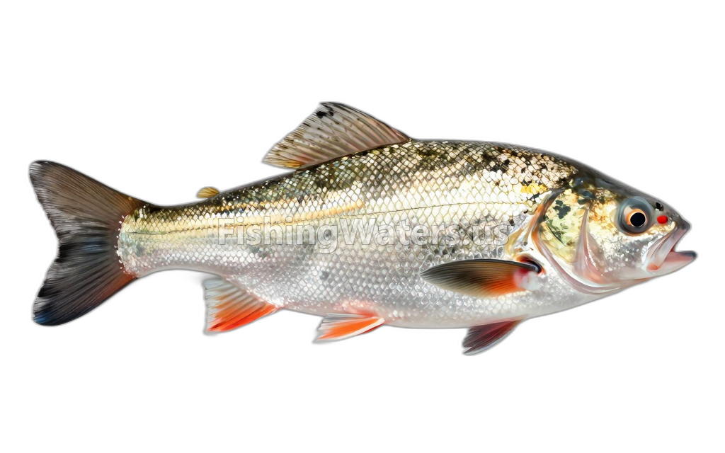 Silver RedhorseMoxostoma anisurum
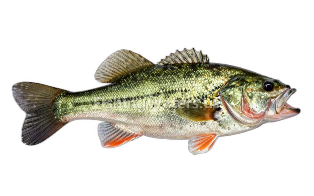 Smallmouth BassMicropterus dolomieu
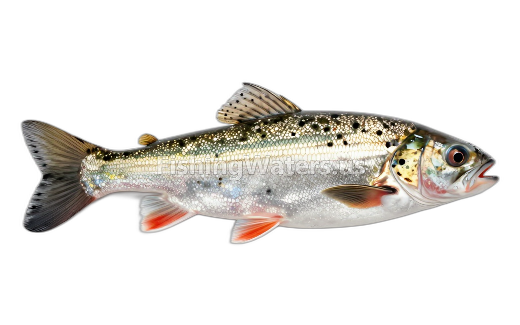 Spotfin ShinerCyprinella spiloptera
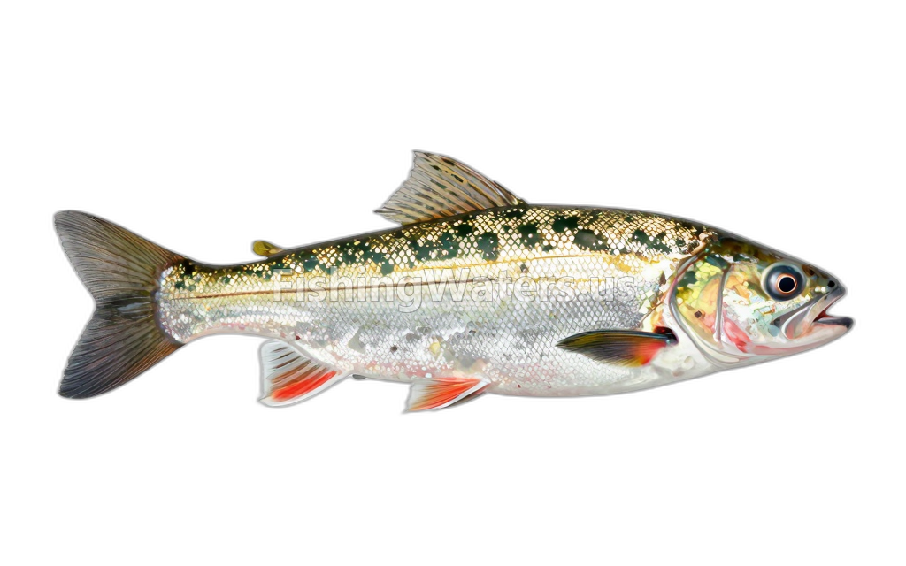 Spottail Shiner
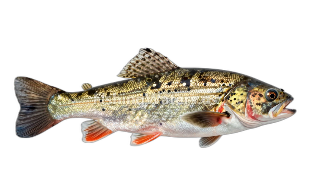 StonecatNoturus flavus
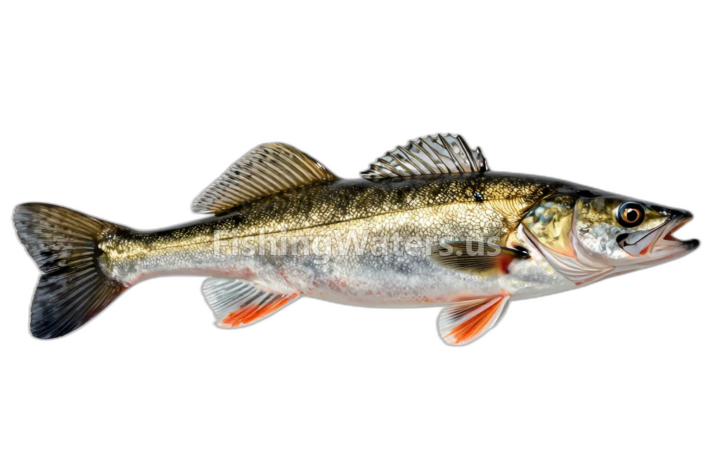 WalleyeSander vitreus
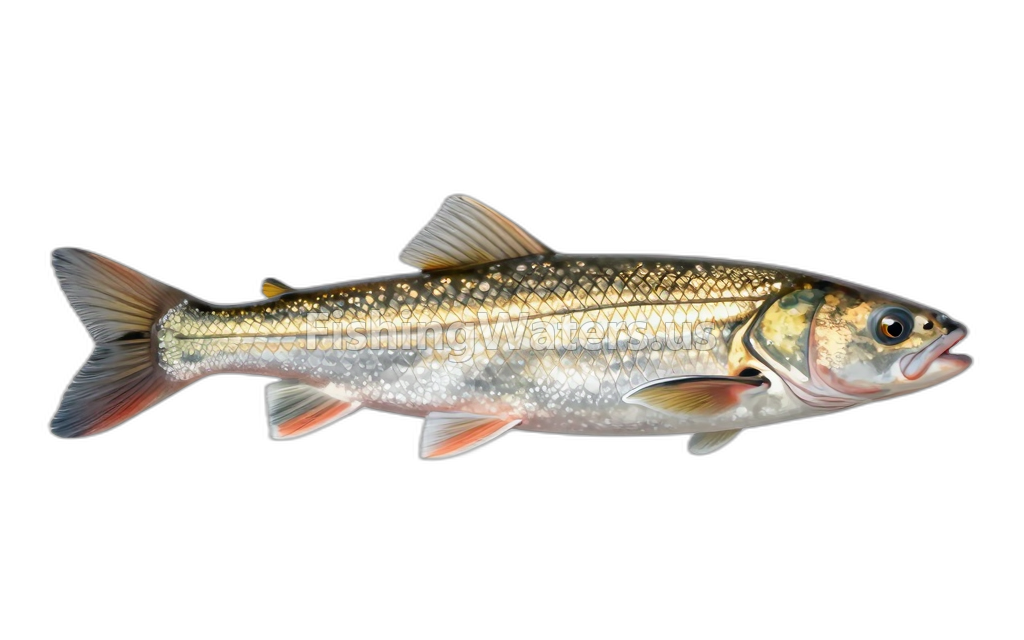 White SuckerCatostomus commersonii
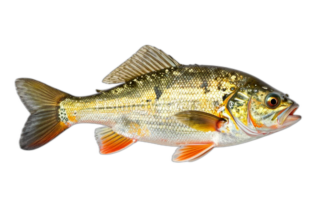 Yellow BullheadAmeiurus natalis
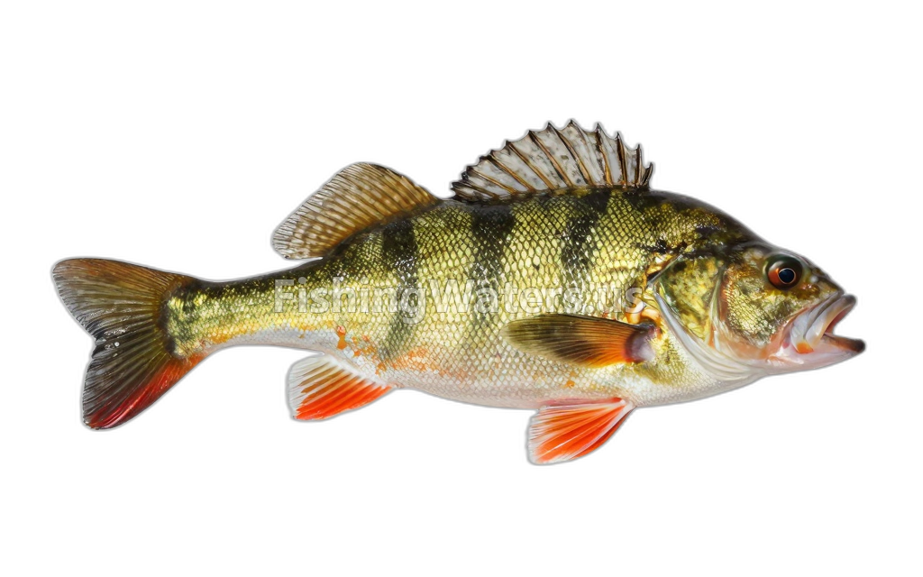 Yellow PerchPerca flavescens
Fishery surveys and lake profiles
Sea lamprey survey
Jan 1, 2002
Fish occurrence record
View official surveySea lamprey survey
Jan 1, 2001
Fish occurrence record
View official surveySea lamprey survey
Jan 1, 2000
Fish occurrence record
View official surveySilver lamprey survey
Jan 1, 2000
Fish occurrence record
View official surveySea lamprey survey
Jan 1, 1999
Fish occurrence record
View official surveyAmerican brook lamprey survey
Jan 1, 1998
Fish occurrence record
View official surveySea lamprey survey
Jan 1, 1998
Fish occurrence record
View official surveySea lamprey survey
Jan 1, 1998
Fish occurrence record
View official surveySea lamprey survey
Jan 1, 1997
Fish occurrence record
View official surveySea lamprey survey
Jan 1, 1997
Fish occurrence record
View official surveySurvey findings describe the recorded visit and may not reflect current conditions.
Fishing access
Shore access
Foote Dam
Public access
View official access informationShore access
Fishing access site
Public access
View official access informationShore access
Fishing access site
Public access
View official access informationWater monitoring
FOOTE DAM POND NR AU SABLE, MI
U.S. Geological Survey
FOOTE DAM POND NR AU SABLE, MI (3 FT AB LK BOT)
U.S. Geological Survey
FOOTE DAM POND NR AU SABLE, MI (PHOTIC ZONE)
U.S. Geological Survey
FOOTE DAM POND NR AU SABLE, MI (3 FT BL LK SURF)
U.S. Geological Survey
FOOTE DAM POND NR AU SABLE, MI (MID-DEPTH)
U.S. Geological Survey
Nearby station readings describe the monitoring location, not necessarily the whole waterbody.
Fishing waters nearby
Michigan fishing resources
Official statewide resources
Sources
- Michigan Department of Natural Resources
- U.S. Geological Survey