Reservoir · Michigan
Mio Dam Pond Fishing
Mio Dam Pond is a reservoir in Oscoda County, Michigan. This guide includes fish species, fishery surveys, fishing access, local fishing regulations, water-quality assessments and monitoring stations.
Quick facts
- Location
- Oscoda County, Michigan
- Coordinates
- 44.6581, -84.1486
- Water type
- Reservoir
- Sunrise
- 12:37 UTC
- Sunset
- 22:06 UTC
- Day length
- 9.5 hours
Location map
Current fishing weather
Fish species
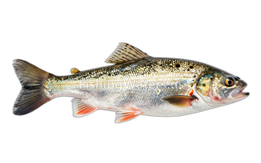 Blackchin shinerNotropis heterodon
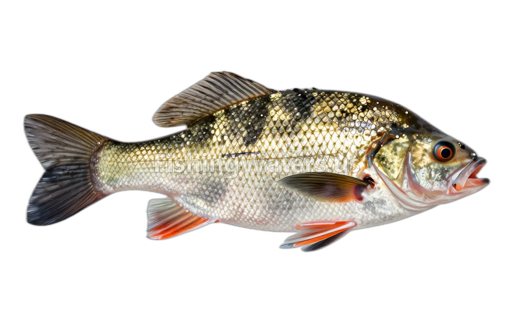 Black CrappiePomoxis nigromaculatus
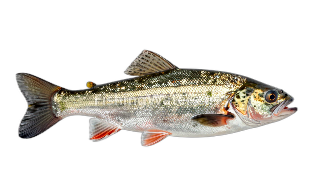 Blacknose ShinerNotropis heterolepis
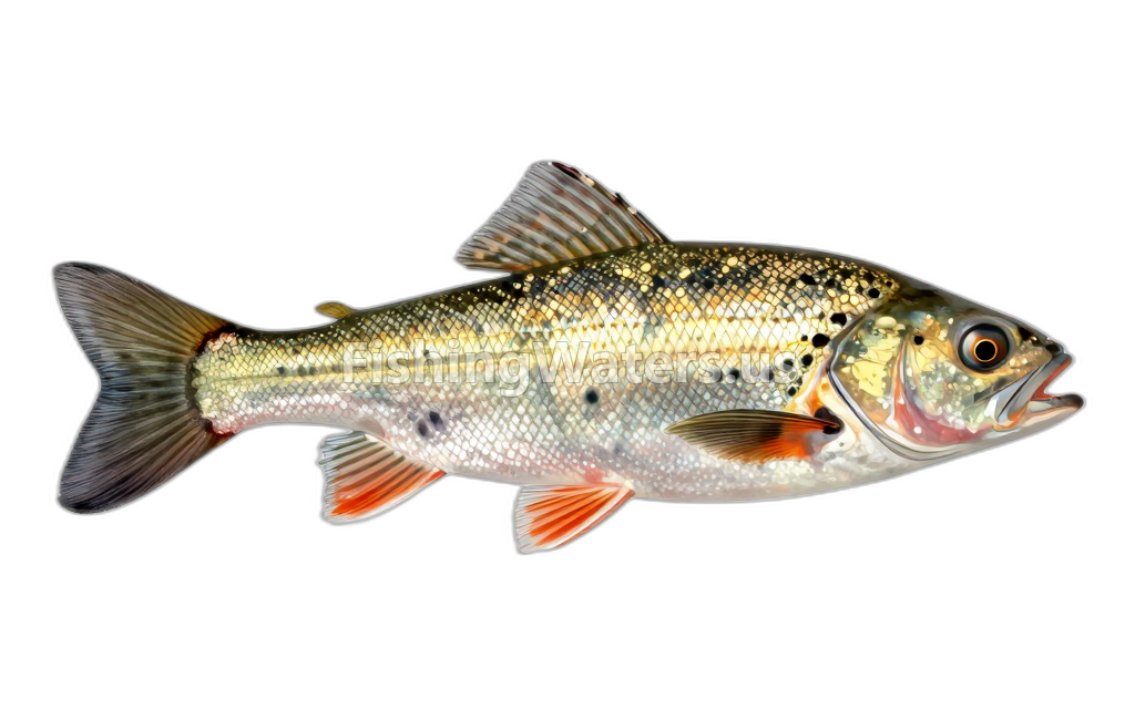 Blackside DarterPercina maculata
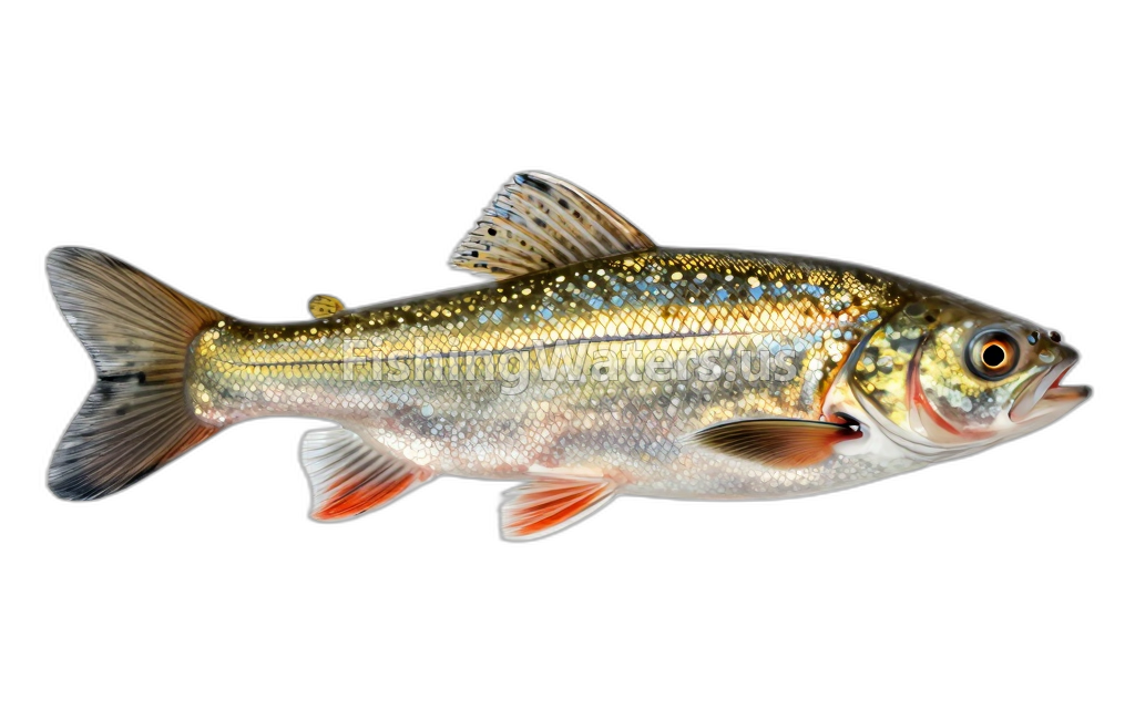 Bluntnose MinnowPimephales notatus
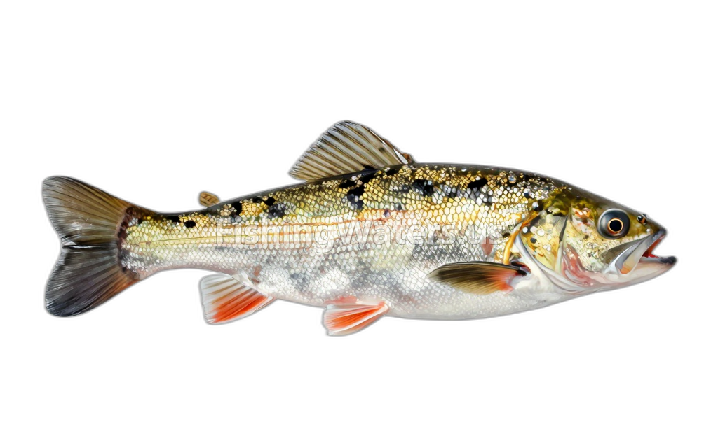 Brook SticklebackCulaea inconstans
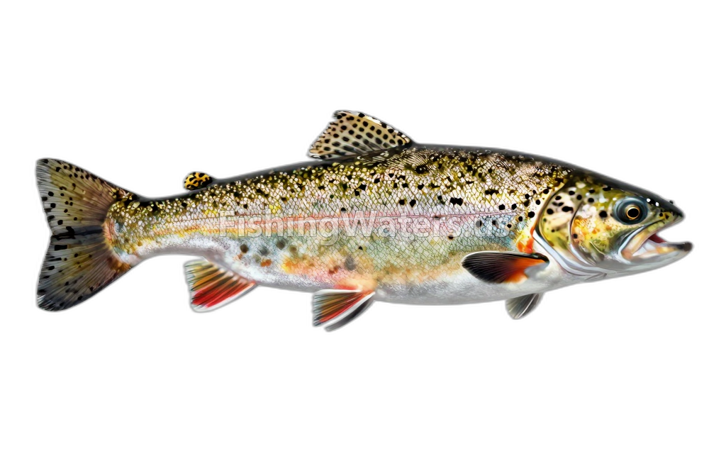 Brook TroutSalvelinus fontinalis
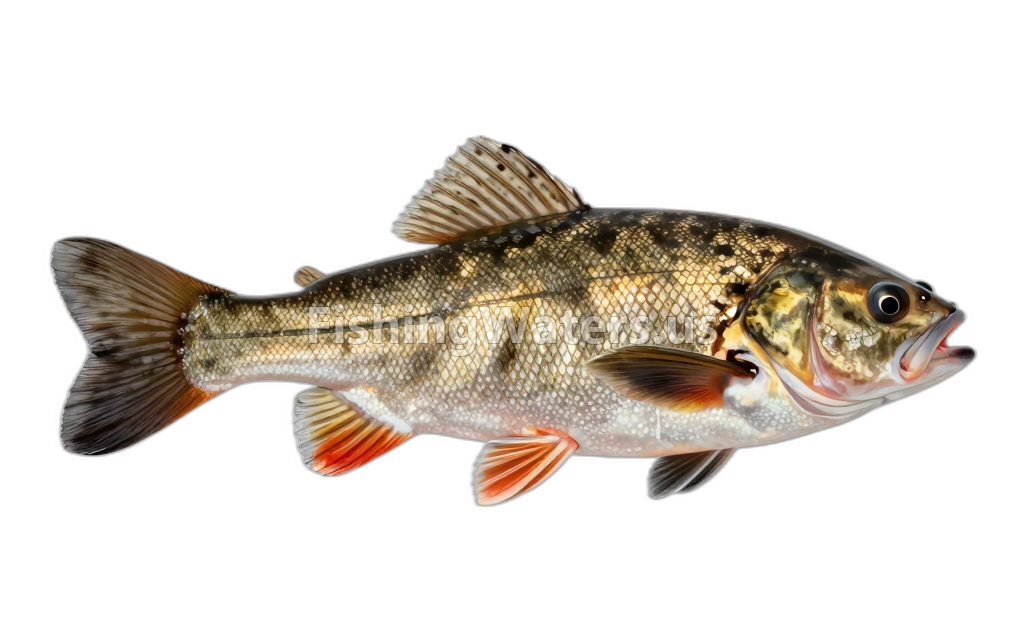 Brown BullheadAmeiurus nebulosus
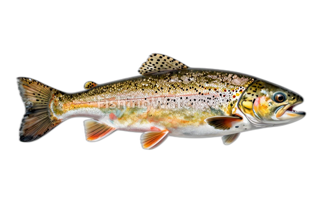 Brown TroutSalmo trutta
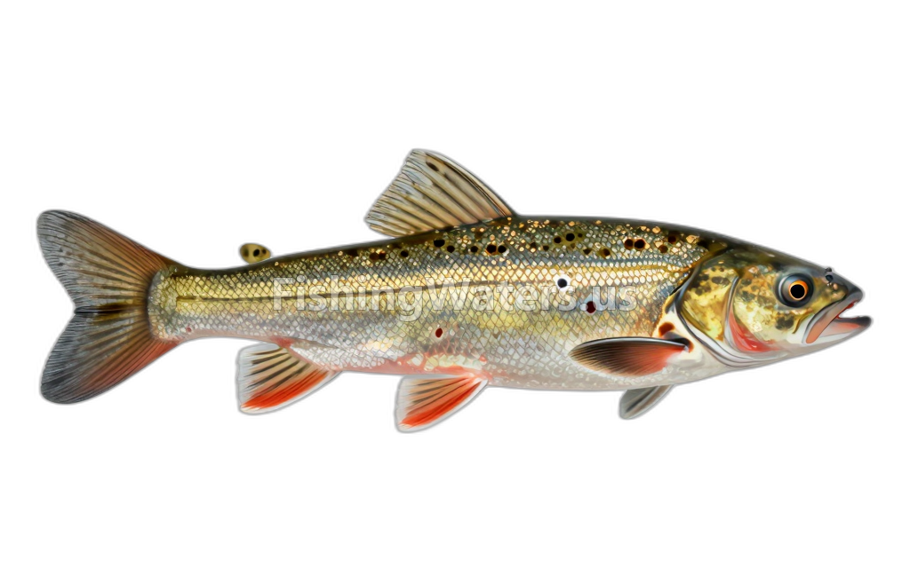 Central MudminnowUmbra limi
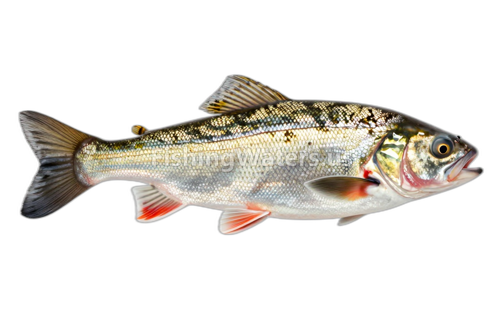 Common ShinerLuxilus cornutus
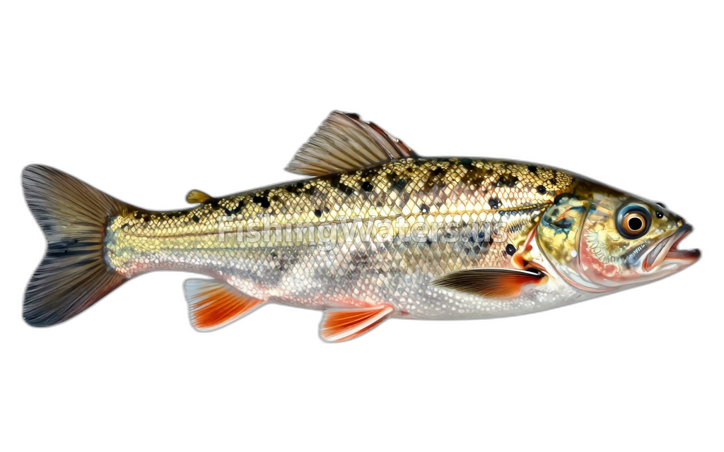 Creek ChubSemotilus atromaculatus
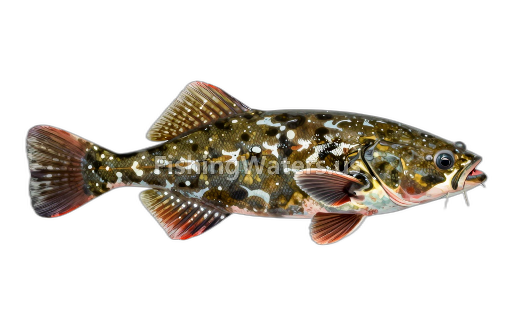 Flathead Catfish
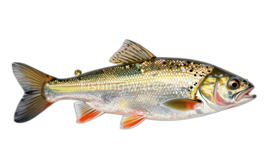 Golden ShinerNotemigonus crysoleucas
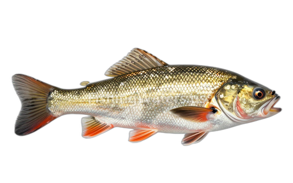 Greater redhorseMoxostoma valenciennesi
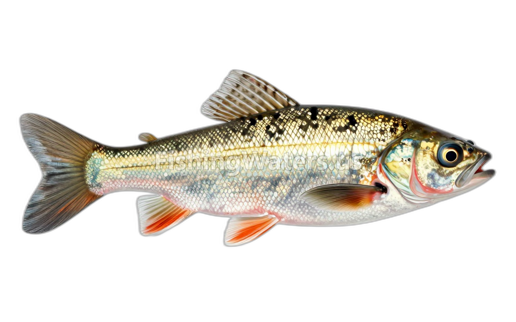 Johnny DarterEtheostoma nigrum
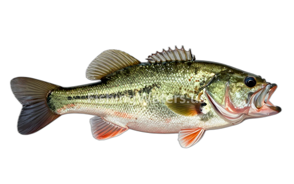 Largemouth BassMicropterus salmoides
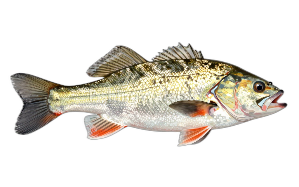 Longnose DaceRhinichthys cataractae
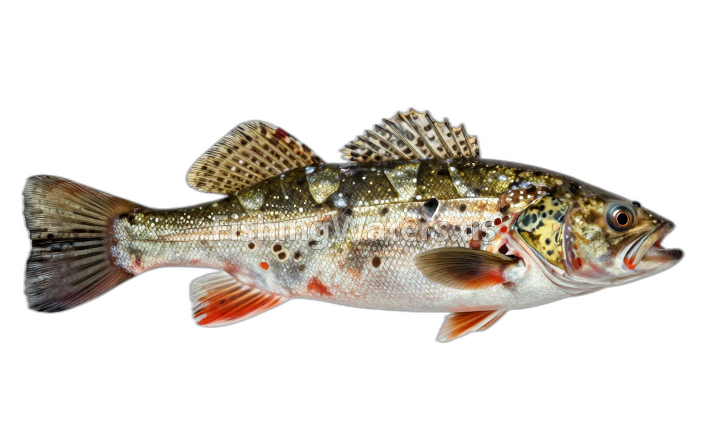 Mottled sculpinCottus bairdii
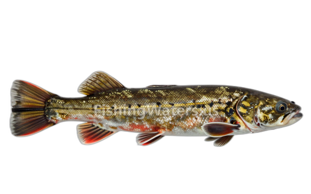 Northern Hog SuckerHypentelium nigricans
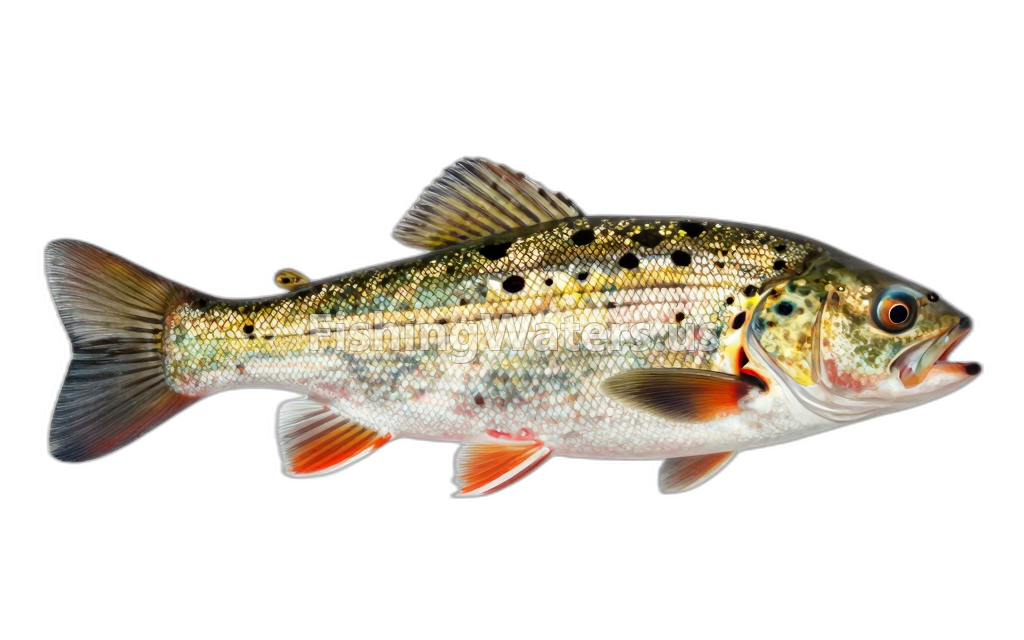 Northern logperchPercina caprodes semifasciata
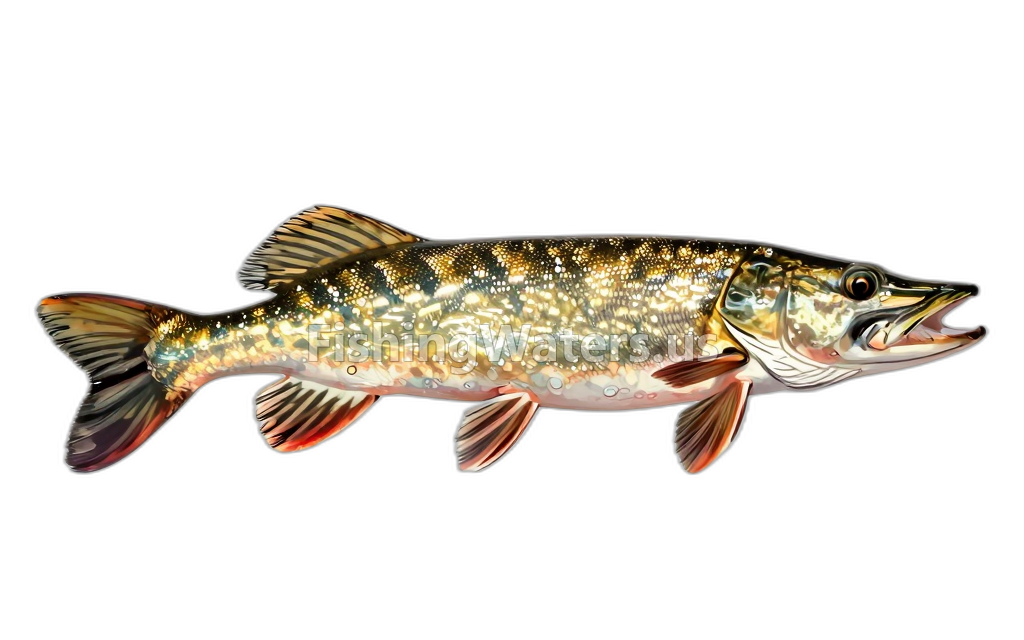 Northern PikeEsox lucius
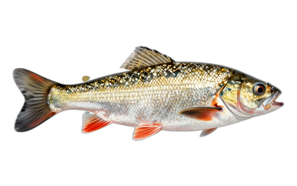 Northern Redbelly Dace
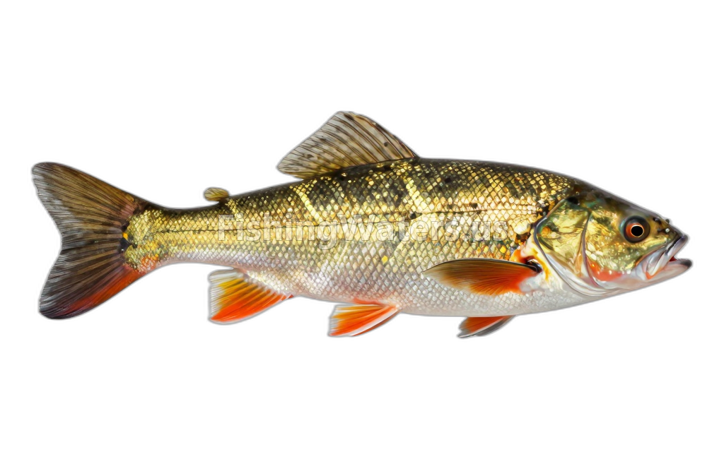 PumpkinseedLepomis gibbosus
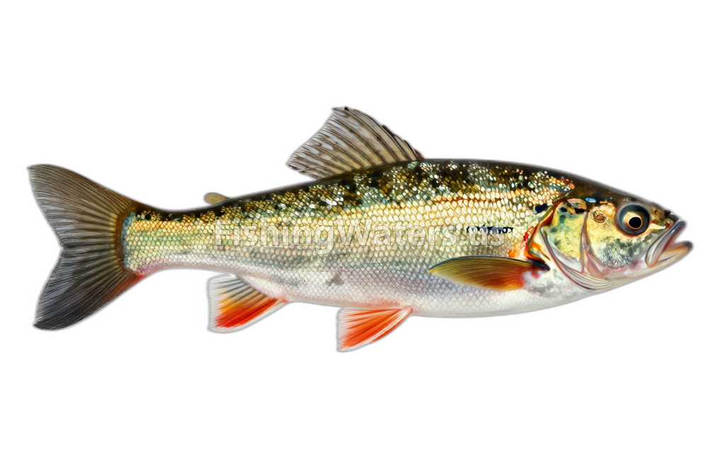 Rainbow DarterEtheostoma caeruleum
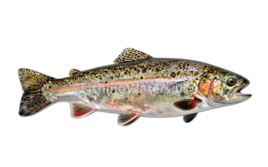 rainbow troutOncorhynchus mykiss
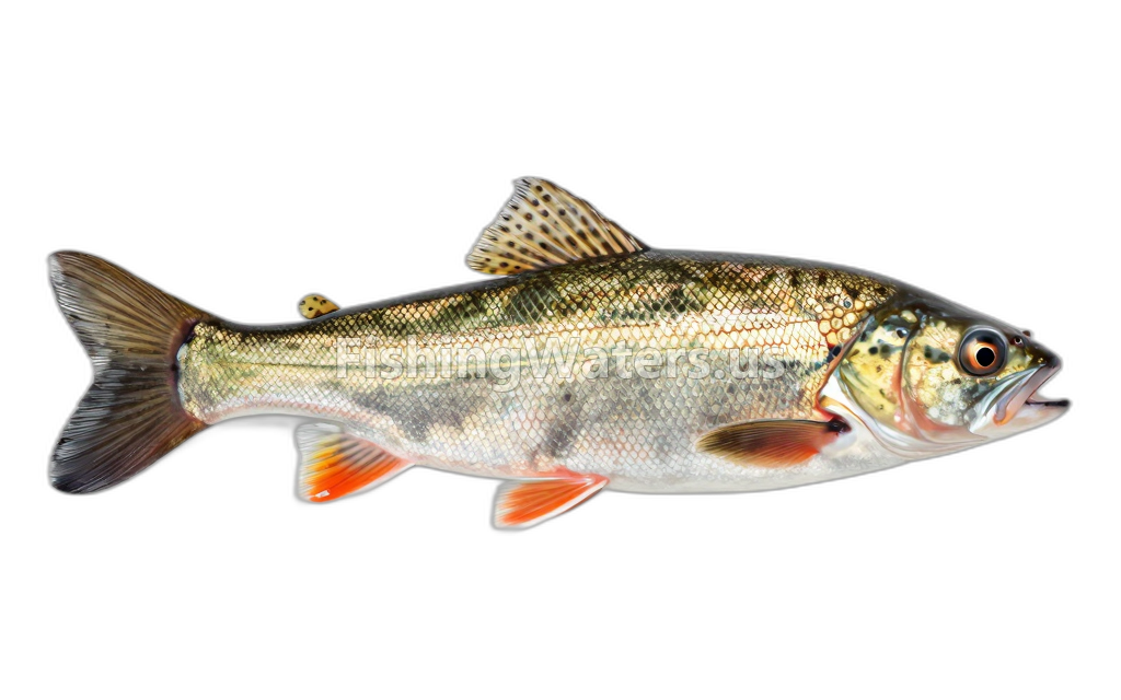 River ChubNocomis micropogon
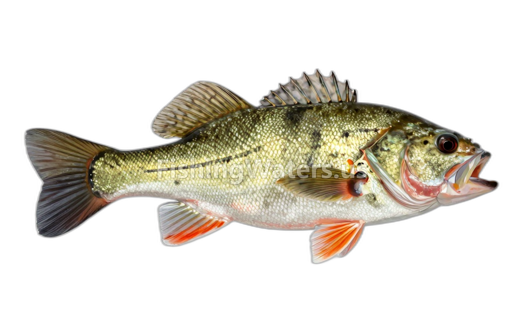 Rock BassAmbloplites rupestris
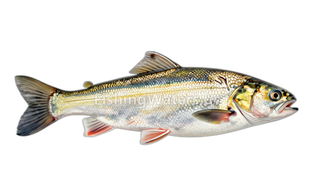 Round Whitefish
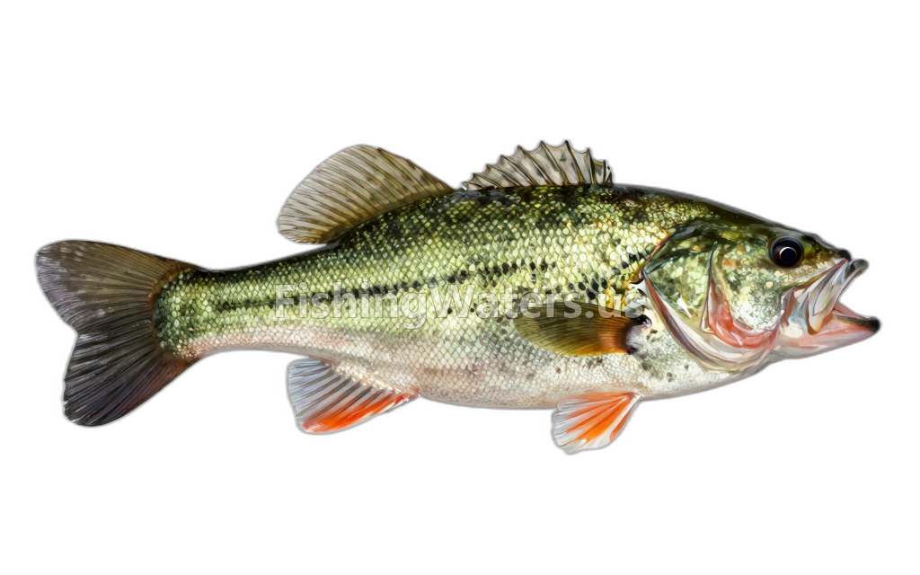 Smallmouth BassMicropterus dolomieu
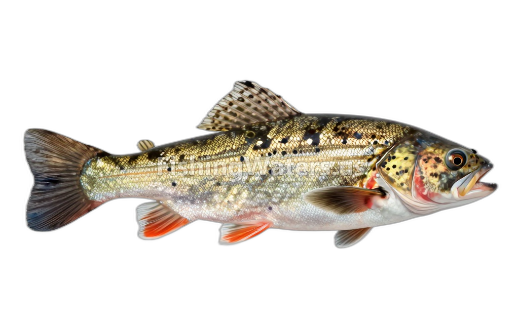 StonecatNoturus flavus
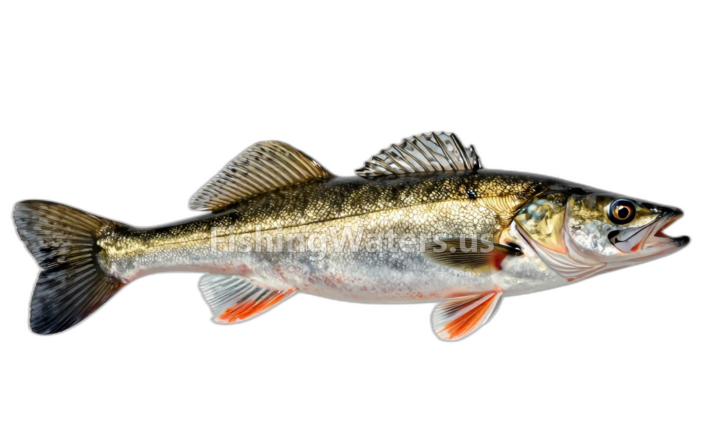 WalleyeSander vitreus
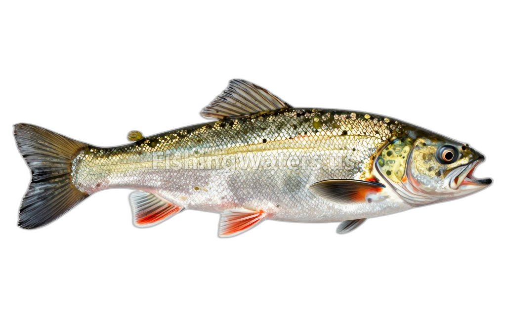 Western blacknose daceRhinichthys obtusus
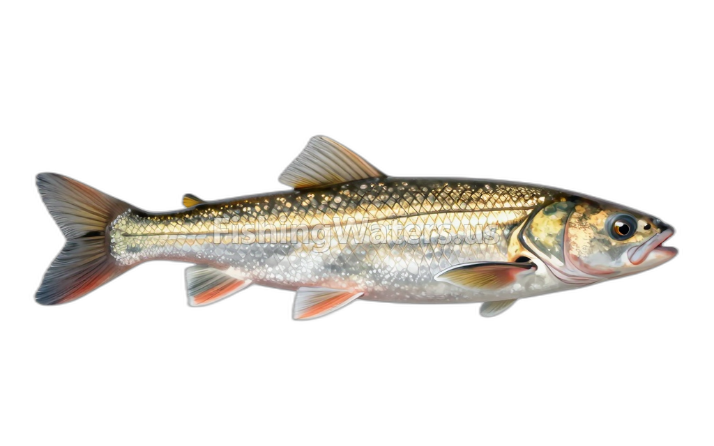 White SuckerCatostomus commersonii
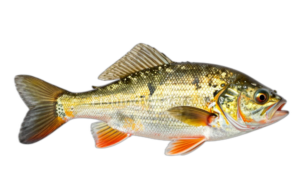 Yellow BullheadAmeiurus natalis
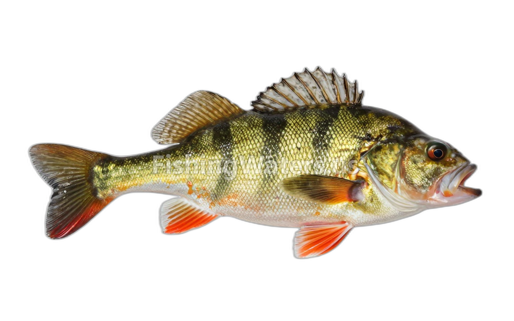 Yellow PerchPerca flavescens
Fishery surveys and lake profiles
Black crappie survey
Jan 1, 1990
Fish occurrence record
View official surveyBlackside darter survey
Jan 1, 1990
Fish occurrence record
View official surveyBrook stickleback survey
Jan 1, 1990
Fish occurrence record
View official surveyBrook trout survey
Jan 1, 1990
Fish occurrence record
View official surveyBrown trout survey
Jan 1, 1990
Fish occurrence record
View official surveyCommon shiner survey
Jan 1, 1990
Fish occurrence record
View official surveyCreek chub survey
Jan 1, 1990
Fish occurrence record
View official surveyGreater redhorse survey
Jan 1, 1990
Fish occurrence record
View official surveyJohnny darter survey
Jan 1, 1990
Fish occurrence record
View official surveyLargemouth bass survey
Jan 1, 1990
Fish occurrence record
View official surveySurvey findings describe the recorded visit and may not reflect current conditions.
Fishing access
Shore access
Mio Pond SFCG
Public access
View official access informationShore access
M33 Roadside Park
Public access
View official access informationFishing regulations
Waterbody fishing rules
Daily and possession limit: 5 fish, with no more than 3 trout 15“ or greater. Zero (0) Arctic Grayling.
Season: January 1st–December 31st
All types of natural bait and artificial lures may be used.
View official regulationsCheck the official source for current dates, limits and exceptions before fishing.
Water quality
EPA assessment information is available for this waterbody.
EPA assessment
Assessed area: 670.9 acres
View EPA assessmentEPA water-quality assessments are separate from fish-consumption advisories.
Water monitoring
MIO DAM POND NEAR MIO, MI
U.S. Geological Survey
MIO DAM POND NEAR MIO, MI (3 FT AB LK BOT)
U.S. Geological Survey
MIO DAM POND NEAR MIO, MI (PHOTIC ZONE)
U.S. Geological Survey
MIO DAM POND NEAR MIO, MI (3 FT BL LK SURF)
U.S. Geological Survey
MIO DAM POND NEAR MIO, MI (MID-DEPTH)
U.S. Geological Survey
Nearby station readings describe the monitoring location, not necessarily the whole waterbody.
Fishing waters nearby
Michigan fishing resources
Official statewide resources
Sources
- Michigan Department of Natural Resources
- U.S. Environmental Protection Agency
- U.S. Geological Survey