Reservoir · Michigan
Dollarville Flooding Fishing
Dollarville Flooding is a reservoir in Luce County, Michigan. This guide includes fish species, fishery surveys, fishing access and water-quality assessments.
Quick facts
- Location
- Luce County, Michigan
- Coordinates
- 46.3547, -85.5473
- Water type
- Reservoir
- Sunrise
- 12:48 UTC
- Sunset
- 22:06 UTC
- Day length
- 9.3 hours
Location map
Current fishing weather
Loading current forecast…
Fish species
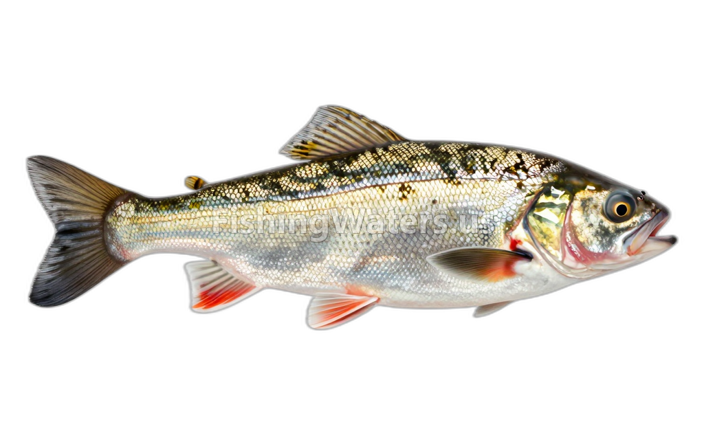
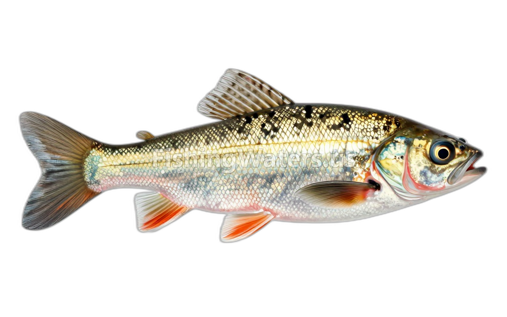
Fishery surveys and lake profiles
Common shiner survey
Jan 1, 1925
Fish occurrence record
View official surveyJohnny darter survey
Jan 1, 1925
Fish occurrence record
View official surveySurvey findings describe the recorded visit and may not reflect current conditions.
Fishing access
Shore access
Dollarville Dam West
Public access
View official access informationShore access
Dollarville Dam East
Public access
View official access informationWater quality
EPA assessment information is available for this waterbody.
EPA assessment
Assessed area: 409.1 acres
View EPA assessmentEPA water-quality assessments are separate from fish-consumption advisories.
Fishing waters nearby
Michigan fishing resources
Official statewide resources
Sources
- Michigan Department of Natural Resources
- U.S. Environmental Protection Agency
- U.S. Geological Survey