Reservoir · Connecticut
Laurel Lake Fishing
Laurel Lake is a reservoir in Northwest Hills County, Connecticut. This guide includes fish species, fishery surveys and fishing access.
Quick facts
- Location
- Northwest Hills County, Connecticut
- Coordinates
- 41.8863, -73.0193
- Water type
- Reservoir
- Sunrise
- 11:45 UTC
- Sunset
- 21:29 UTC
- Day length
- 9.7 hours
Location map
Current fishing weather
Fish species
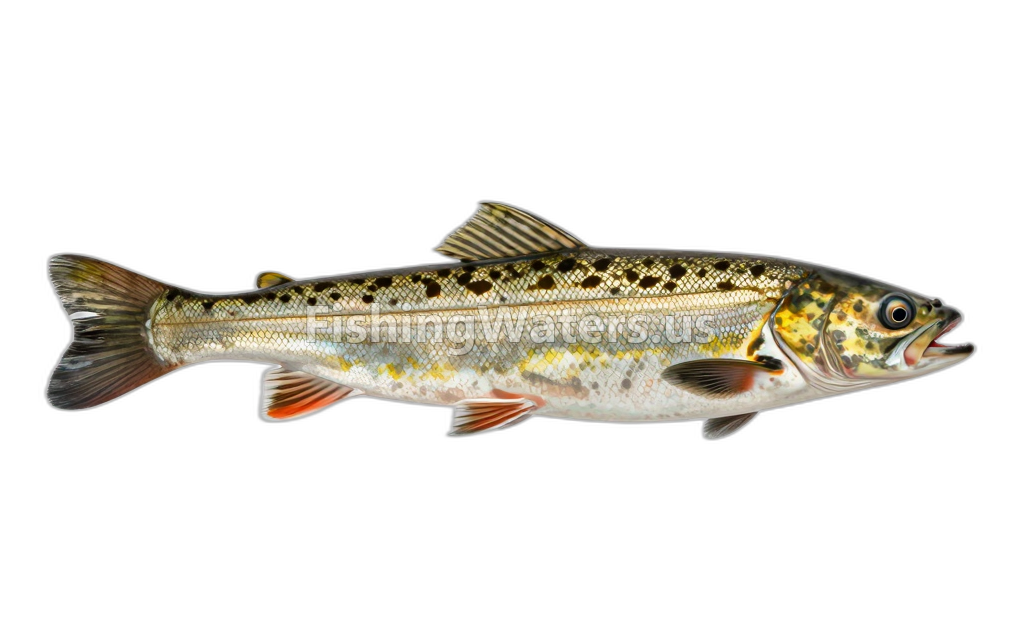 American EelAnguilla rostrata
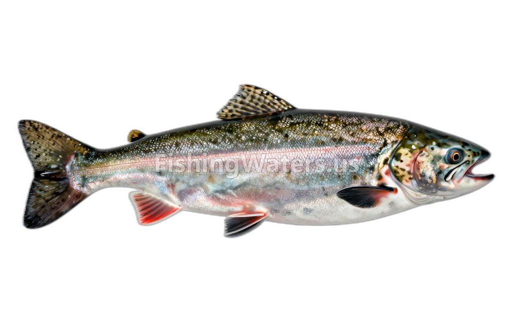 Atlantic Salmon, Stocked
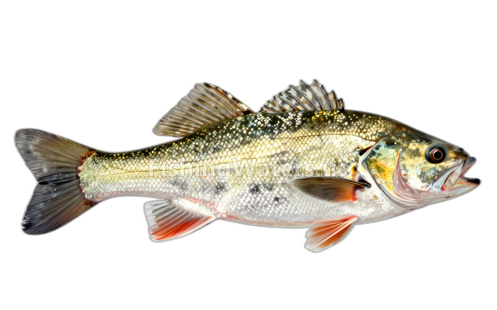 Blacknose DaceRhinichthys atratulus
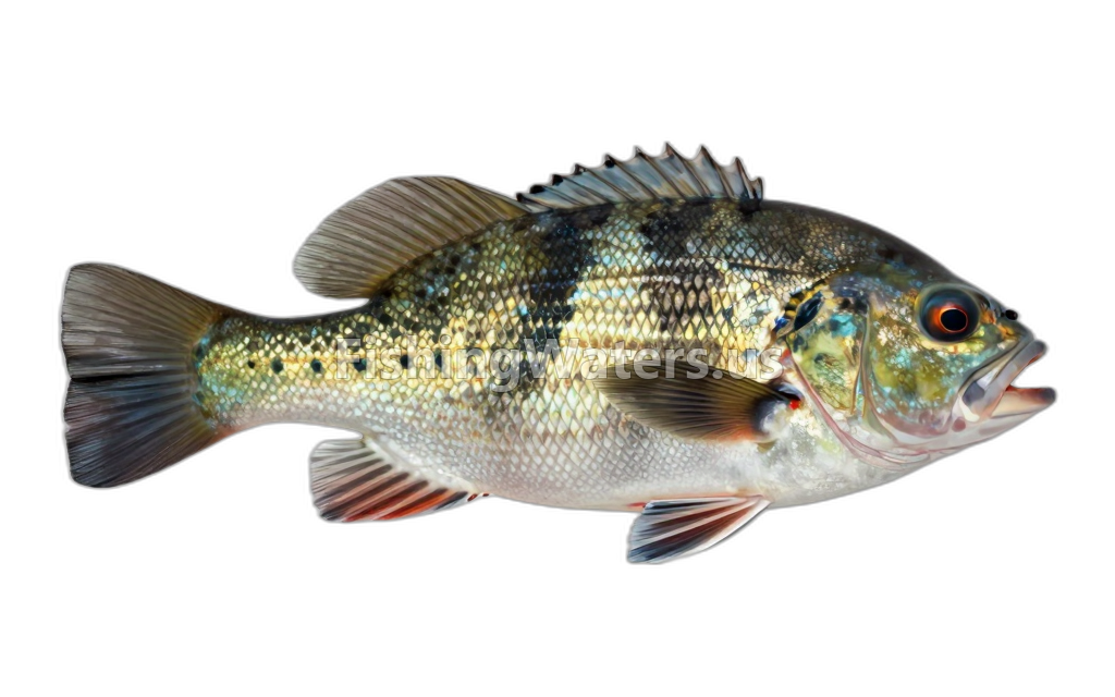 BluegillLepomis macrochirus
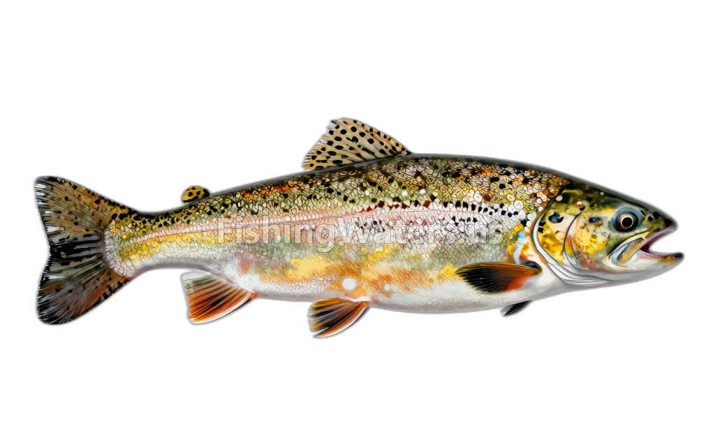 Brook Trout, Stocked
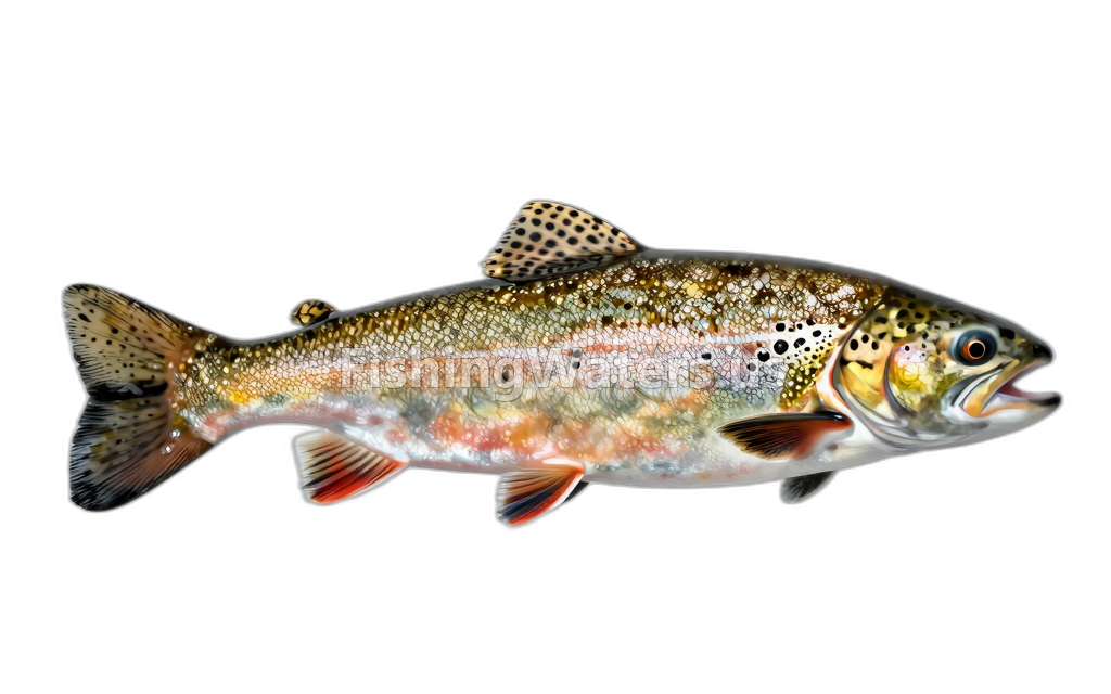 Brook Trout, Wild
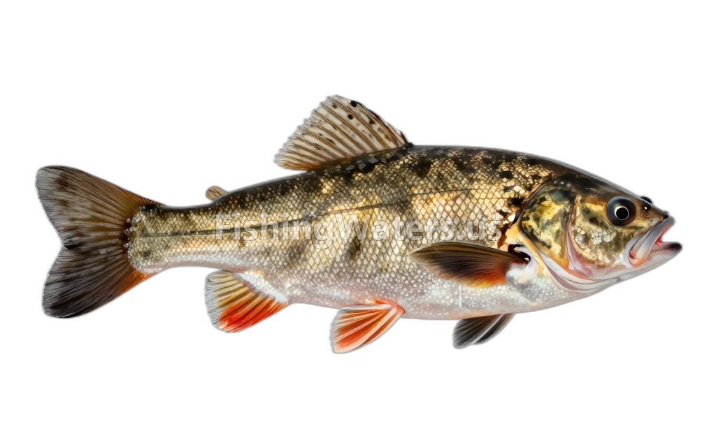 Brown BullheadAmeiurus nebulosus
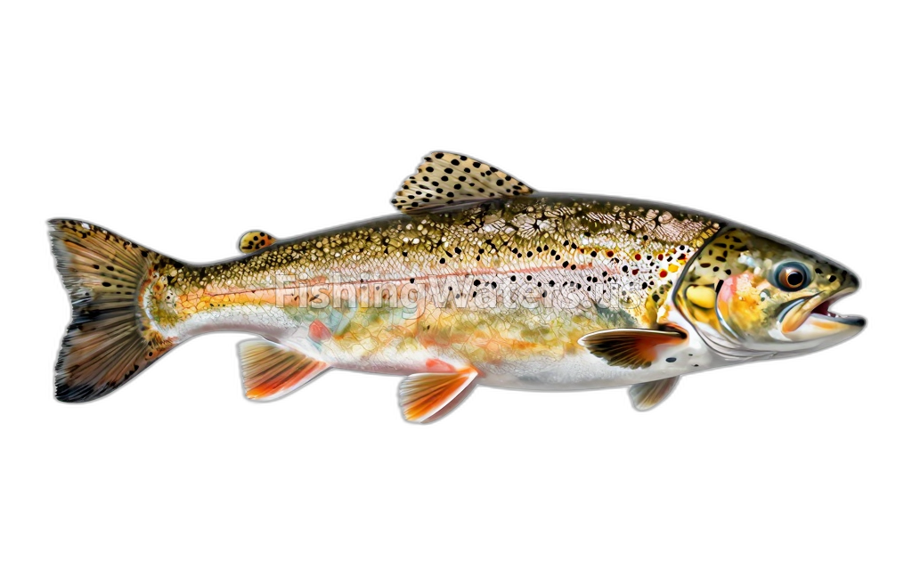 Brown TroutSalmo trutta
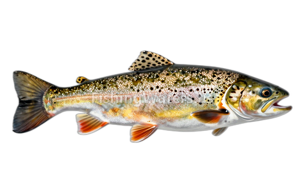 Brown Trout, Stocked
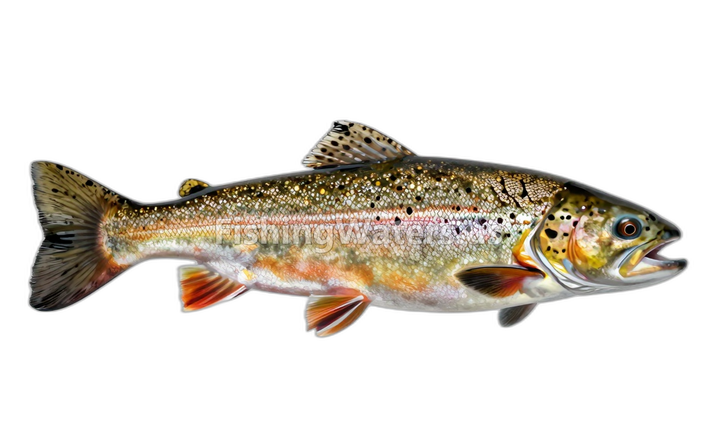 Brown Trout, Wild
 Cambarus bartonii
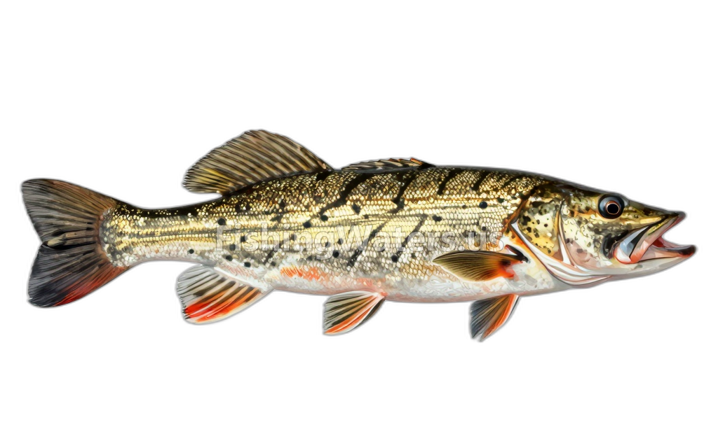 Chain PickerelEsox niger
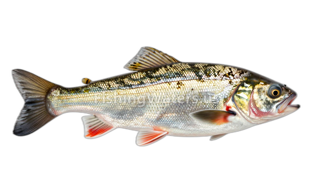 Common ShinerLuxilus cornutus
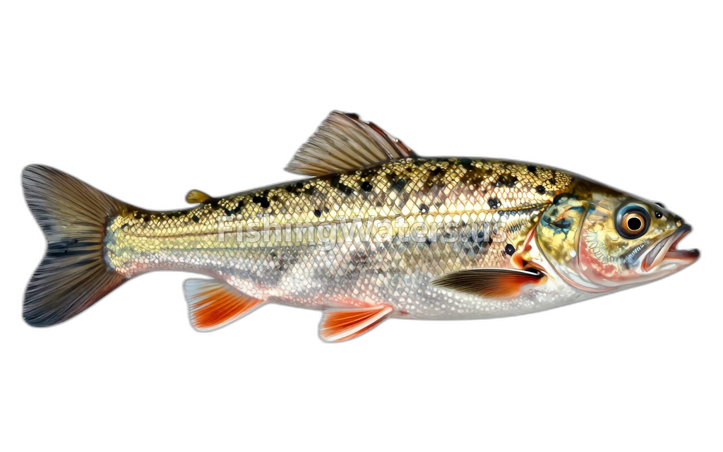 Creek ChubSemotilus atromaculatus
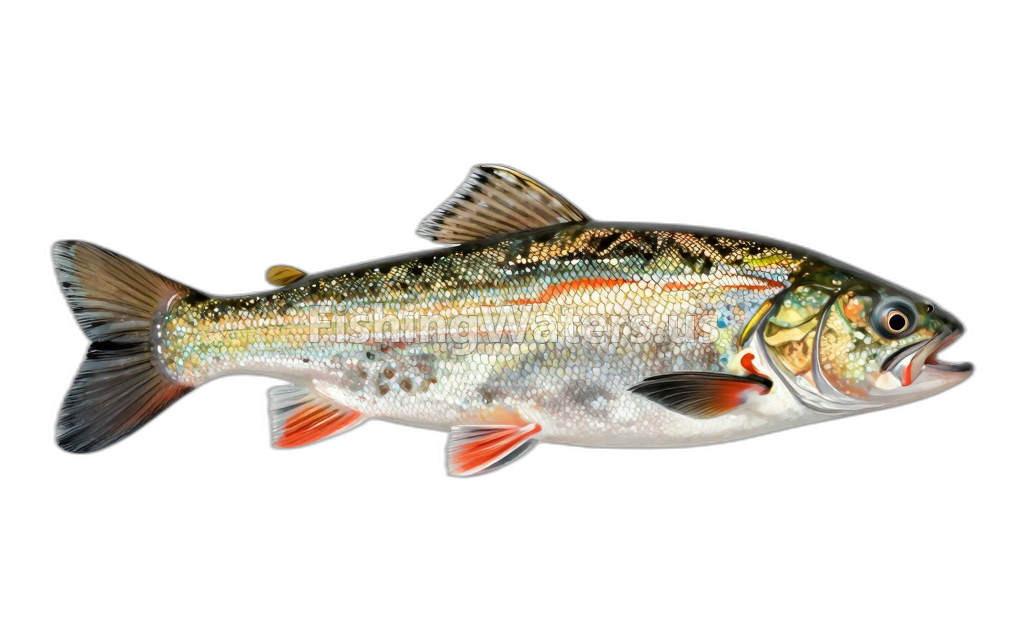 FallfishSemotilus corporalis
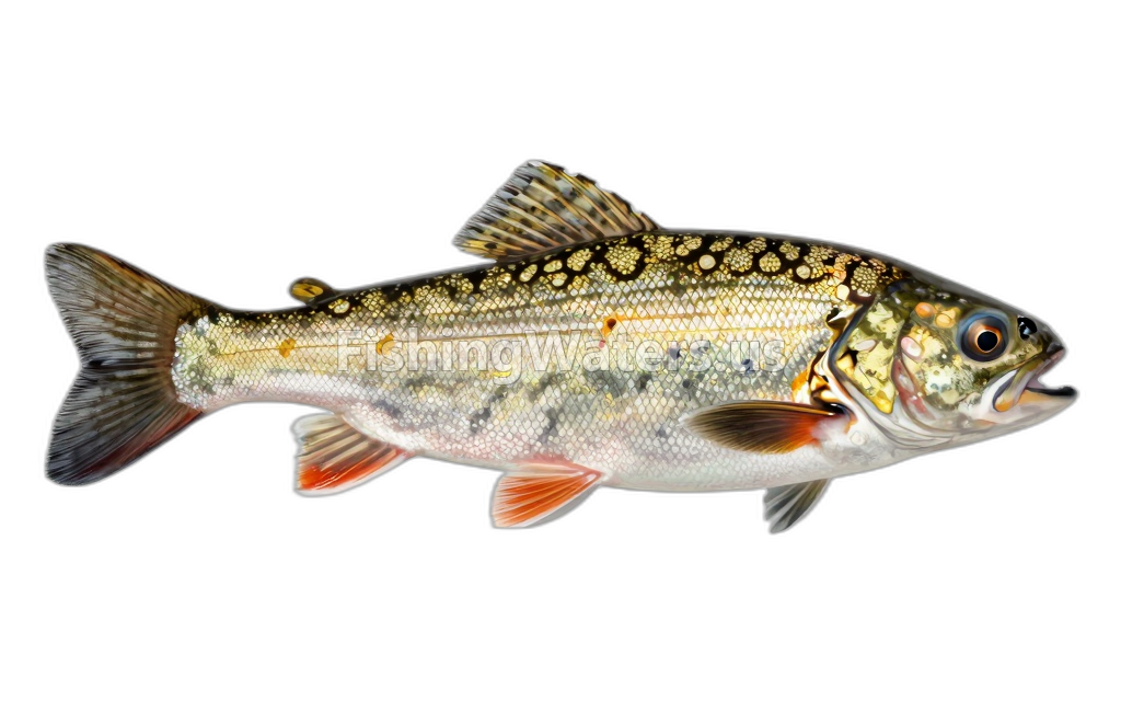 Faxonius limosus
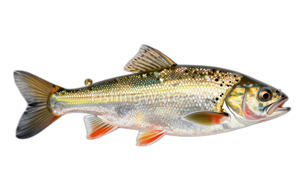 Golden ShinerNotemigonus crysoleucas
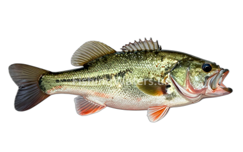 Largemouth BassMicropterus salmoides
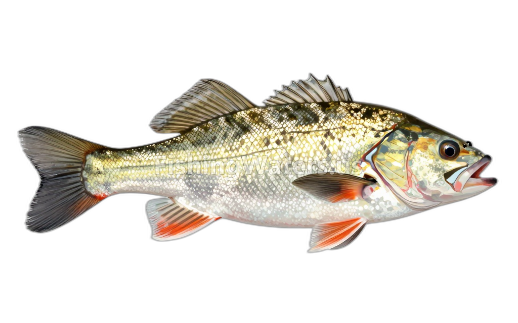 Longnose DaceRhinichthys cataractae
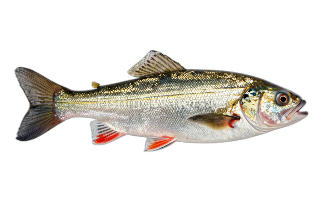 Mimic Shiner
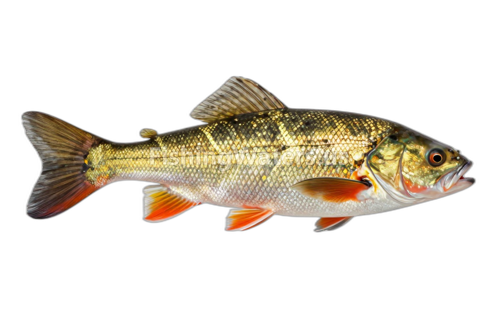 PumpkinseedLepomis gibbosus
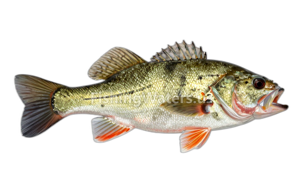 Rock BassAmbloplites rupestris
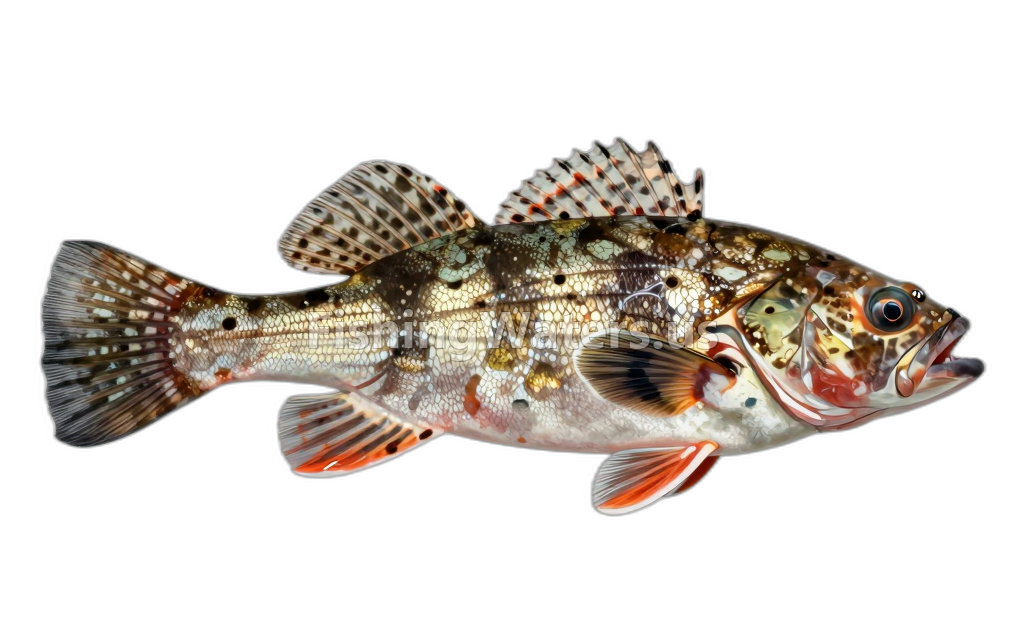 Slimy Sculpin
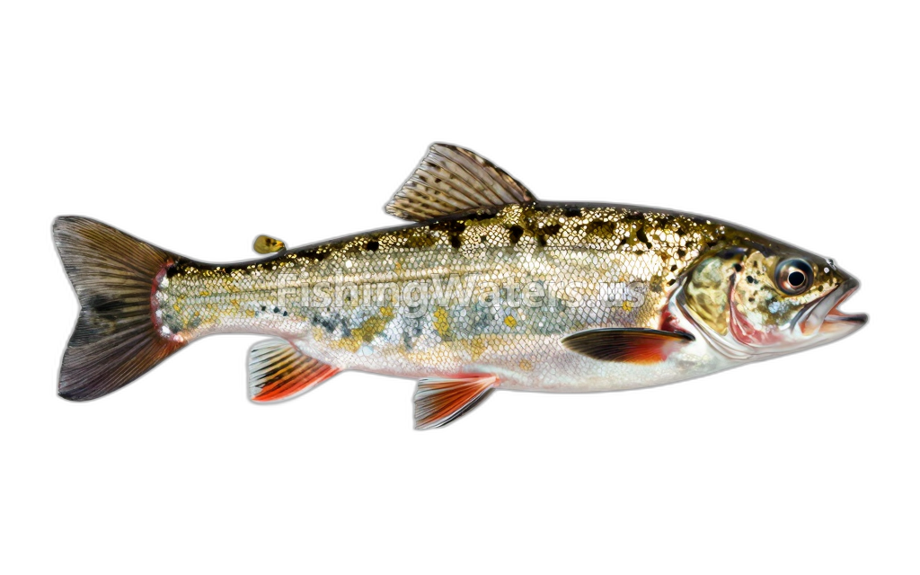 Tessellated DarterEtheostoma olmstedi
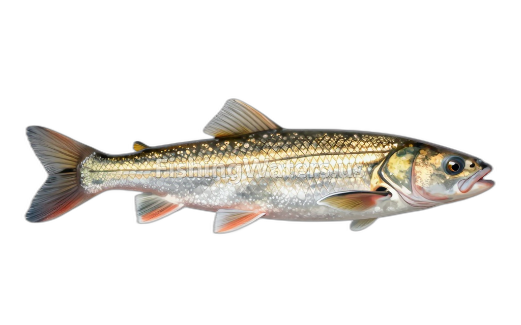 White SuckerCatostomus commersonii
Fishery surveys and lake profiles
Cambarus bartonii survey
Jan 1, 2022
Crayfish bycatch
View official surveyBlacknose Dace survey
Jan 1, 2022
Quantified_Electrofishing_all_species_cencus
View official surveyBrook Trout, Wild survey
Jan 1, 2022
Quantified_Electrofishing_all_species_cencus
View official surveyBrown Trout, Wild survey
Jan 1, 2022
Quantified_Electrofishing_all_species_cencus
View official surveyCommon Shiner survey
Jan 1, 2022
Quantified_Electrofishing_all_species_cencus
View official surveyCreek Chub survey
Jan 1, 2022
Quantified_Electrofishing_all_species_cencus
View official surveyLongnose Dace survey
Jan 1, 2022
Quantified_Electrofishing_all_species_cencus
View official surveyMimic Shiner survey
Jan 1, 2022
Quantified_Electrofishing_all_species_cencus
View official surveySlimy Sculpin survey
Jan 1, 2022
Quantified_Electrofishing_all_species_cencus
View official surveyWhite Sucker survey
Jan 1, 2022
Quantified_Electrofishing_all_species_cencus
View official surveySurvey findings describe the recorded visit and may not reflect current conditions.
Fishing access
Boat ramp
West Hill Pond Boat Launch
Public access
View official access informationFishing waters nearby
Connecticut fishing resources
Official statewide resources
Sources
- Connecticut Department of Energy and Environmental Protection
- U.S. Geological Survey