Reservoir · Connecticut
Day Pond Fishing
Day Pond is a reservoir in Western Connecticut County, Connecticut. This guide includes fish species, fishery surveys and monitoring stations.
Quick facts
- Location
- Western Connecticut County, Connecticut
- Coordinates
- 41.5568, -73.4196
- Water type
- Reservoir
- Sunrise
- 11:46 UTC
- Sunset
- 21:31 UTC
- Day length
- 9.8 hours
Location map
Current fishing weather
Fish species
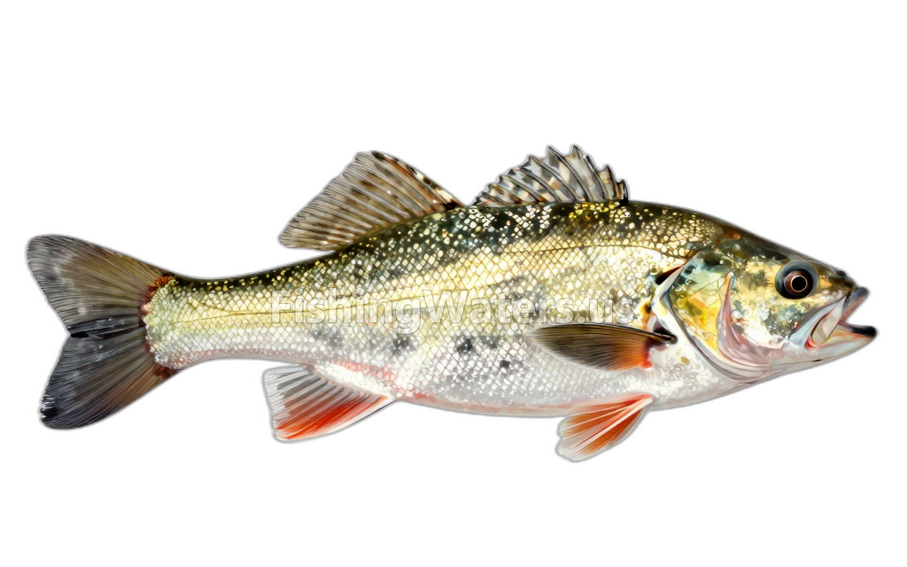 Blacknose DaceRhinichthys atratulus
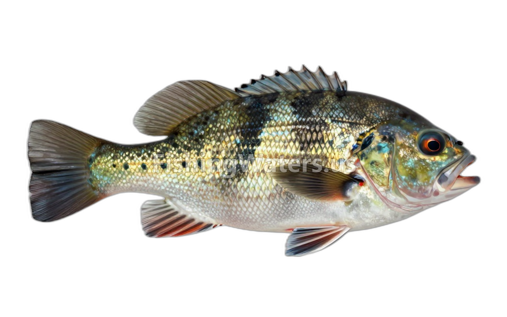 BluegillLepomis macrochirus
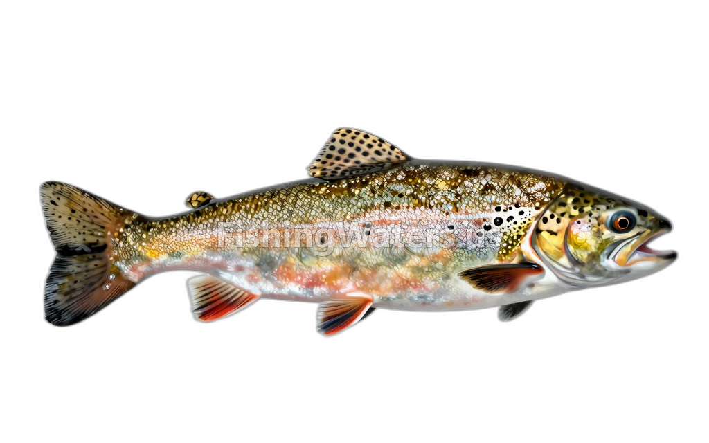 Brook Trout, Wild
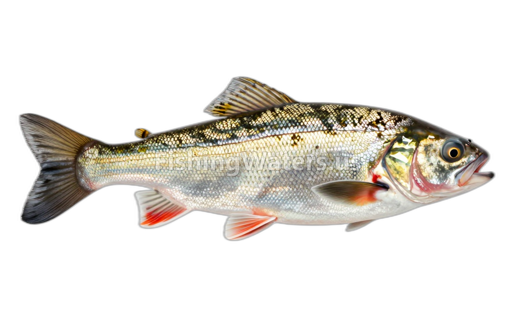 Common ShinerLuxilus cornutus
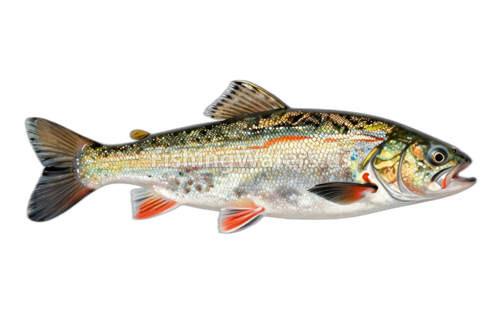 FallfishSemotilus corporalis
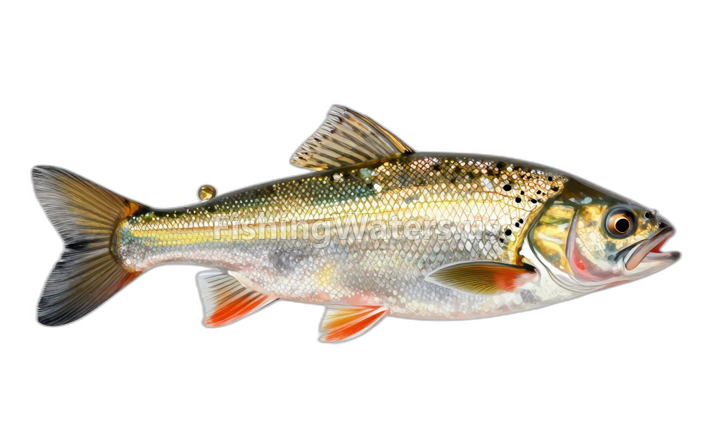 Golden ShinerNotemigonus crysoleucas
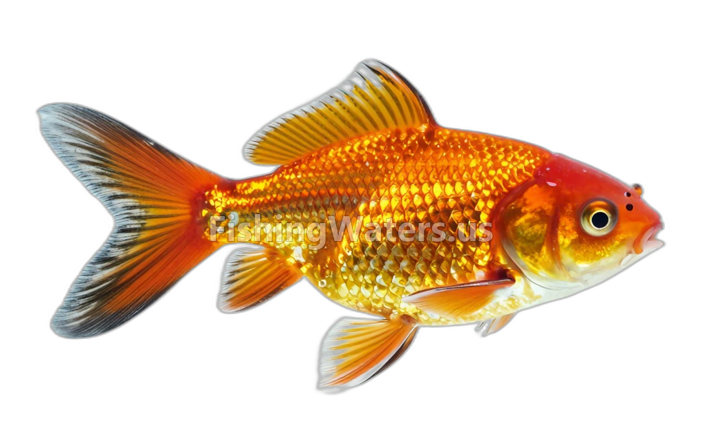 Goldfish
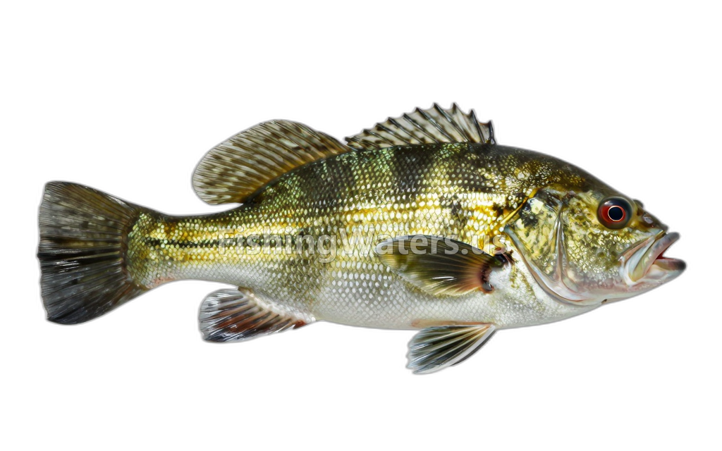 Green SunfishLepomis cyanellus
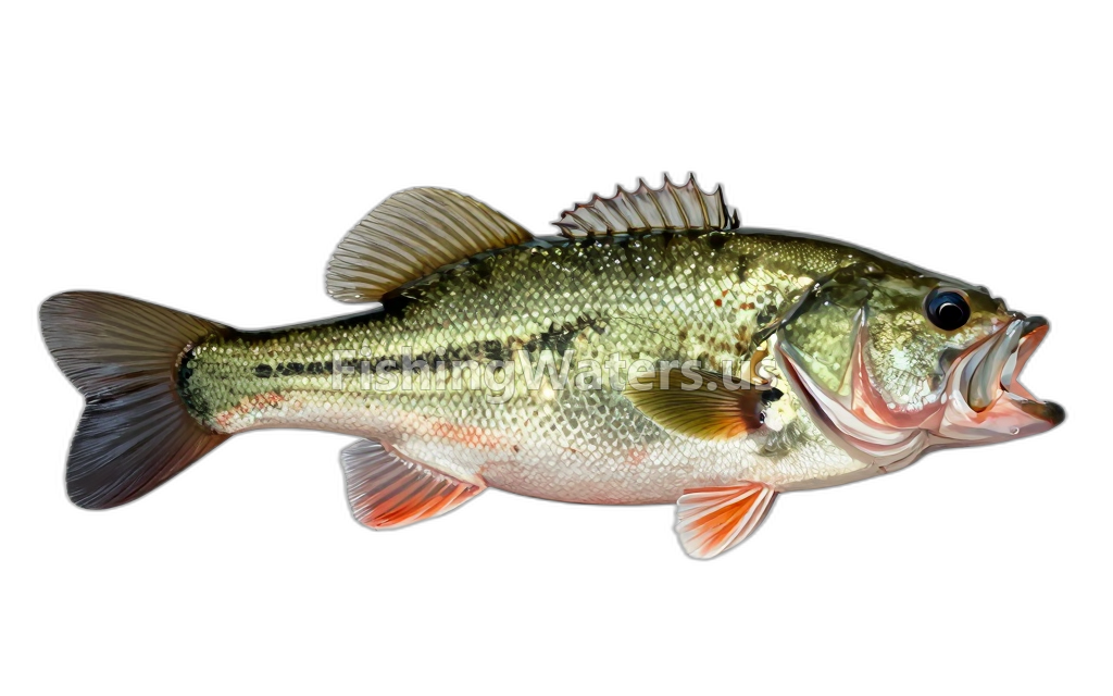 Largemouth BassMicropterus salmoides
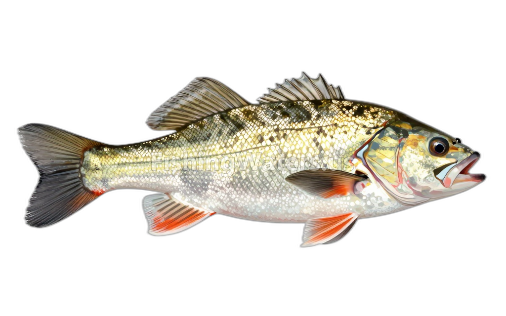 Longnose DaceRhinichthys cataractae
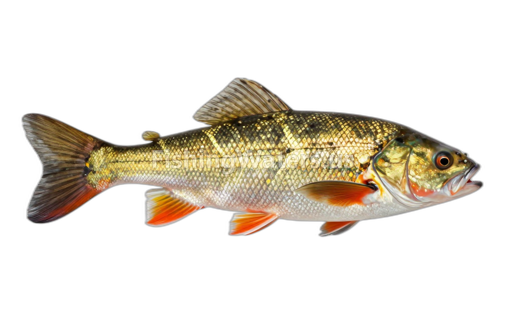 PumpkinseedLepomis gibbosus
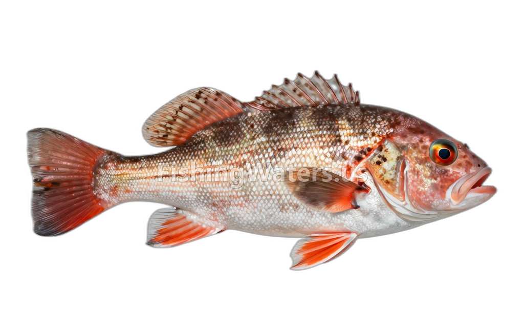 Redbreast SunfishLepomis auritus
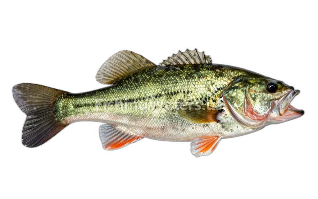 Smallmouth BassMicropterus dolomieu
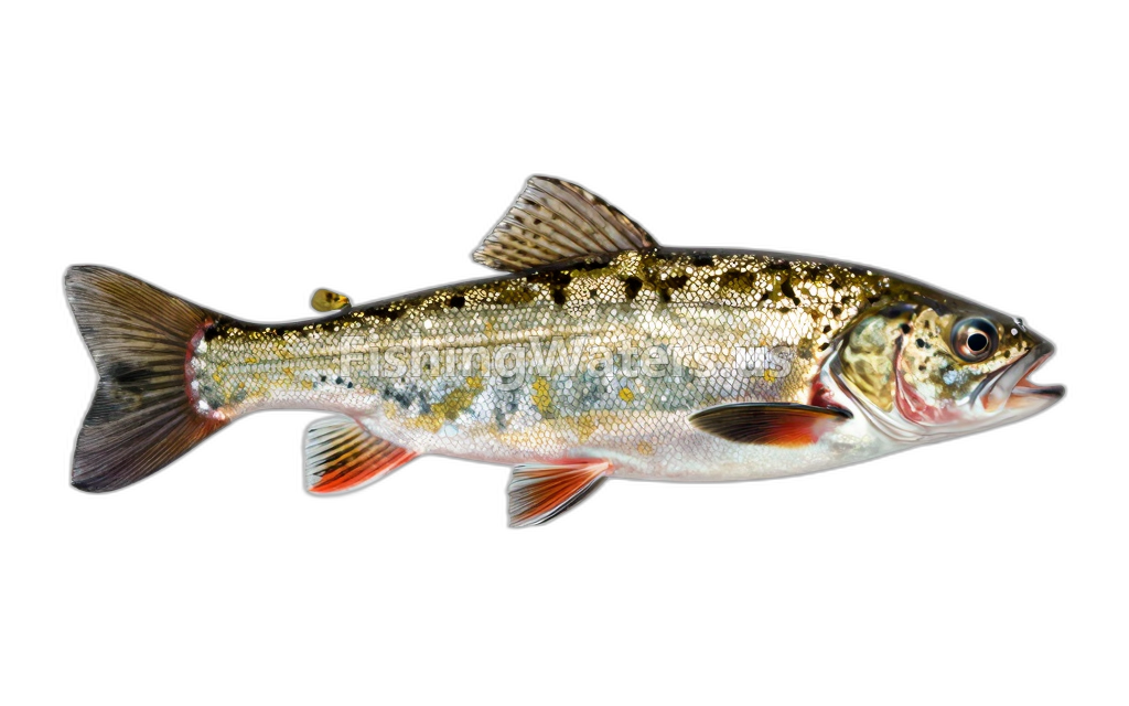 Tessellated DarterEtheostoma olmstedi
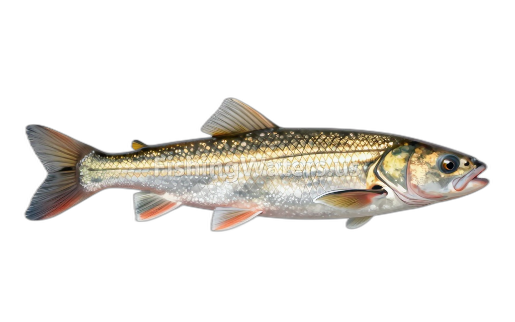 White SuckerCatostomus commersonii
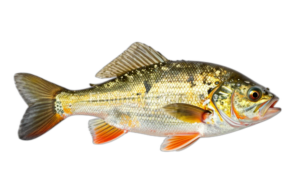 Yellow BullheadAmeiurus natalis
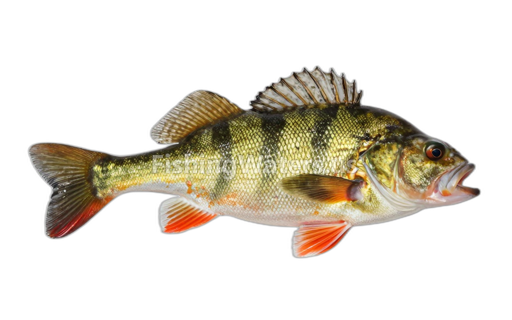 Yellow PerchPerca flavescens
Fishery surveys and lake profiles
Brook Trout, Wild survey
Jan 1, 2012
Quantified_Electrofishing_all_species_cencus
View official surveyPumpkinseed survey
Jan 1, 2012
Quantified_Electrofishing_all_species_cencus
View official surveyWhite Sucker survey
Jan 1, 2012
Quantified_Electrofishing_all_species_cencus
View official surveyBlacknose Dace survey
Jan 1, 2012
Quantified_Electrofishing_all_species_cencus
View official surveyBluegill survey
Jan 1, 2012
Quantified_Electrofishing_all_species_cencus
View official surveyGreen Sunfish survey
Jan 1, 2012
Quantified_Electrofishing_all_species_cencus
View official surveyLargemouth Bass survey
Jan 1, 2012
Quantified_Electrofishing_all_species_cencus
View official surveyPumpkinseed survey
Jan 1, 2012
Quantified_Electrofishing_all_species_cencus
View official surveyRedbreast Sunfish survey
Jan 1, 2012
Quantified_Electrofishing_all_species_cencus
View official surveyTessellated Darter survey
Jan 1, 2012
Quantified_Electrofishing_all_species_cencus
View official surveySurvey findings describe the recorded visit and may not reflect current conditions.
Water monitoring
LK LILLINONAH AT LOVERS LEAP NR STILL R, CONN.
U.S. Geological Survey
Nearby station readings describe the monitoring location, not necessarily the whole waterbody.
Fishing waters nearby
Connecticut fishing resources
Official statewide resources
Sources
- Connecticut Department of Energy and Environmental Protection
- U.S. Geological Survey