Lake · California
Legg Lake Fishing
Legg Lake is a lake in Los Angeles County, California. This guide includes fish species, fishery surveys, current fish-consumption advice, water-quality assessments and monitoring stations.
Quick facts
- Location
- Los Angeles County, California
- Coordinates
- 34.0330, -118.0589
- Water type
- Lake
- Sunrise
- 14:27 UTC
- Sunset
- 00:47 UTC
- Day length
- 10.3 hours
Location map
Current fishing weather
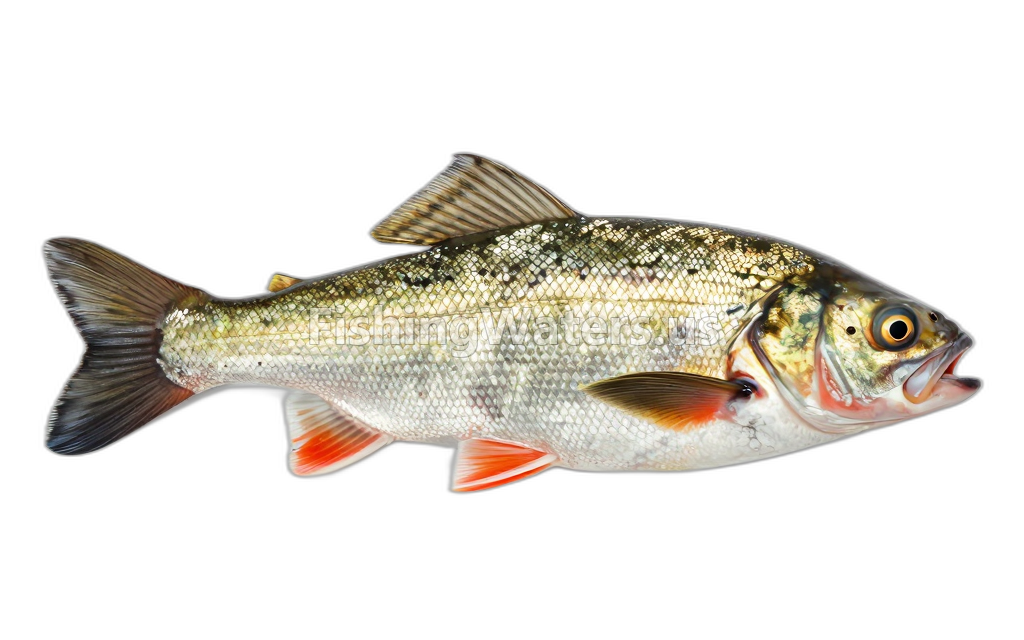
Fish species
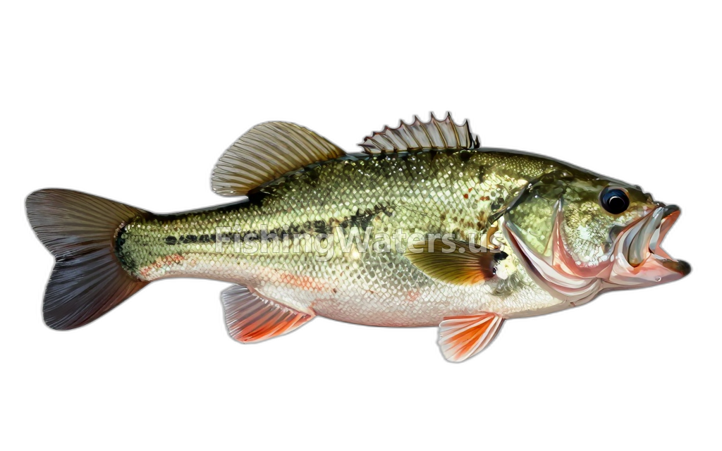
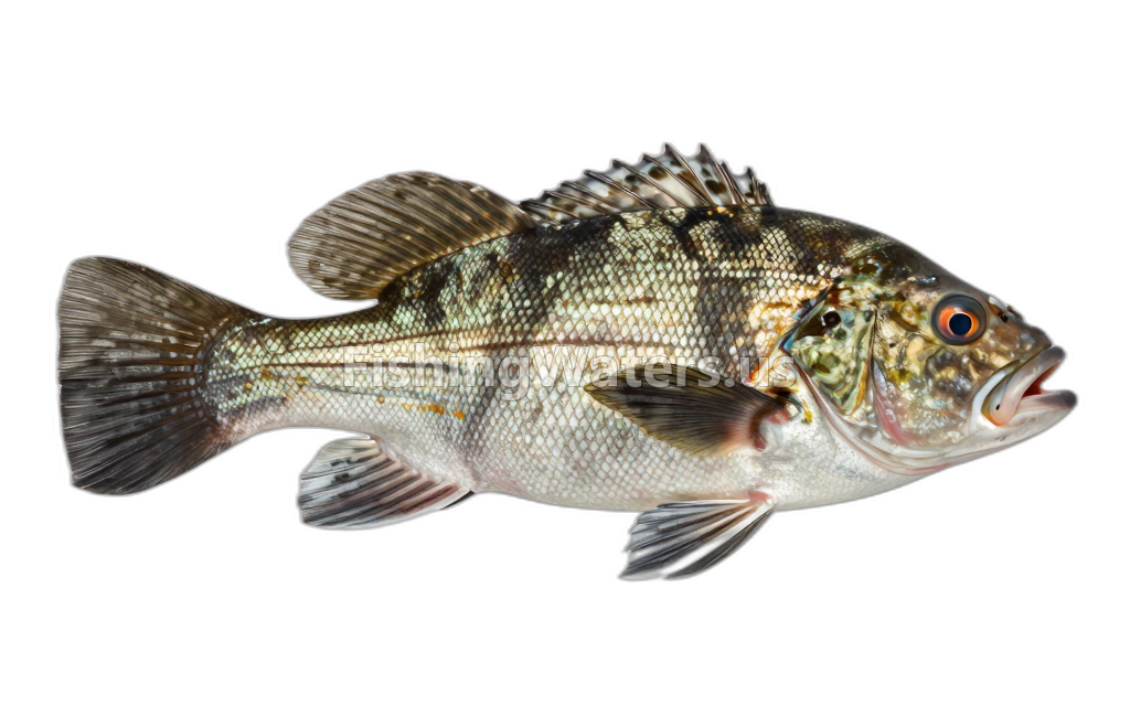
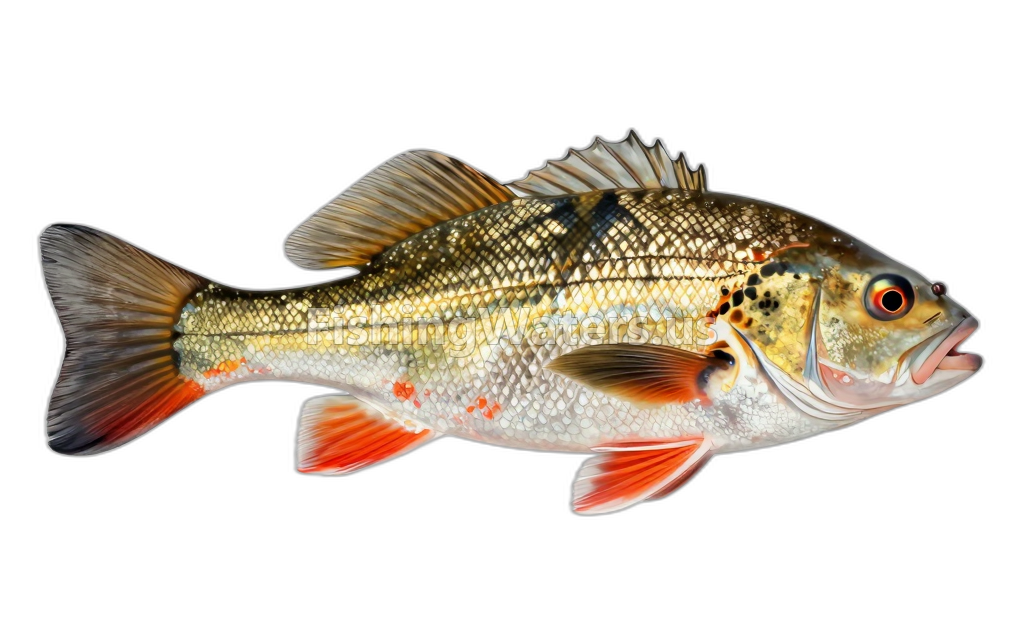
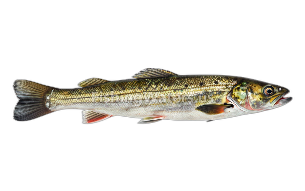
Fishery surveys and lake profiles
Fishery survey
Sep 21, 2022
EPA NLA hydrographic profile
Ph 8.45–8.52
Depth 0.1–1.9
Oxygen 13.07–13.58
Temperature 24.07–24.45
View official surveySurvey findings describe the recorded visit and may not reflect current conditions.
Current fish-consumption advice
Common Carp
1 serving(s) per week
For Women 50+ and men 18+
Contaminant: PCBs
Effective from Jan 1, 2018
View current official advisoryCommon Carp
1 serving(s) per week
For Women 18-49 and children 1-17
Contaminant: PCBs
Effective from Jan 1, 2018
View current official advisoryBass, Black
3 serving(s) per week
For Women 50+ and men 18+
Contaminant: Mercury
Effective from Jan 1, 2018
View current official advisoryBass, Black
1 serving(s) per week
For Women 18-49 and children 1-17
Contaminant: Mercury
Effective from Jan 1, 2018
View current official advisoryCatfish, Channel
5 serving(s) per week
For Women 50+ and men 18+
Contaminant: PCBs
Effective from Jan 1, 2018
View current official advisoryCatfish, Channel
5 serving(s) per week
For Women 18-49 and children 1-17
Contaminant: PCBs
Effective from Jan 1, 2018
View current official advisorySunfish Species
7 serving(s) per week
For Women 50+ and men 18+
Contaminant: Mercury
Effective from Jan 1, 2018
View current official advisorySunfish Species
7 serving(s) per week
For Women 18-49 and children 1-17
Contaminant: Mercury
Effective from Jan 1, 2018
View current official advisoryRecommendations can differ by species and population group. Follow the linked state guidance.
Water quality
EPA assessment information is available for this waterbody.
EPA assessment
Assessed area: 27.8 acres
View EPA assessmentEPA water-quality assessments are separate from fish-consumption advisories.
Water monitoring
S legg lk ab whittier narrows dam nr montebello ca
U.S. Geological Survey
C legg lk ab whittier narrows dam nr montebello ca
U.S. Geological Survey
N legg lk ab whittier narrows dam nr montebello ca
U.S. Geological Survey
Nearby station readings describe the monitoring location, not necessarily the whole waterbody.
Fishing waters nearby
California fishing resources
Official statewide resources
Sources
- California Office of Environmental Health Hazard Assessment
- U.S. Environmental Protection Agency
- U.S. Geological Survey