Creek · Montana
Sixteenmile Creek Fishing
Sixteenmile Creek is a creek in Montana. This guide includes fish species, stocking history, fishery surveys, water-quality assessments and monitoring stations.
Quick facts
- Location
- Montana
- Coordinates
- 46.1054, -111.3993
- Water type
- Creek
- Sunrise
- 14:30 UTC
- Sunset
- 23:50 UTC
- Day length
- 9.3 hours
Location map
Current fishing weather
Fish species
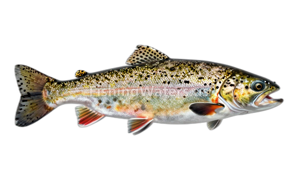 Brook TroutSalvelinus fontinalis
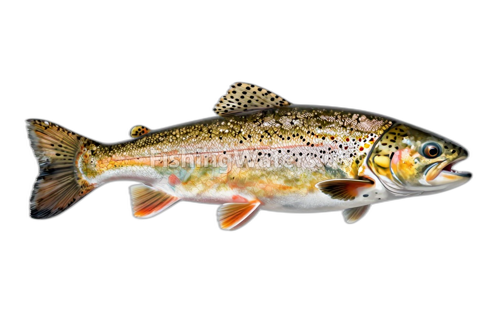 Brown TroutSalmo trutta
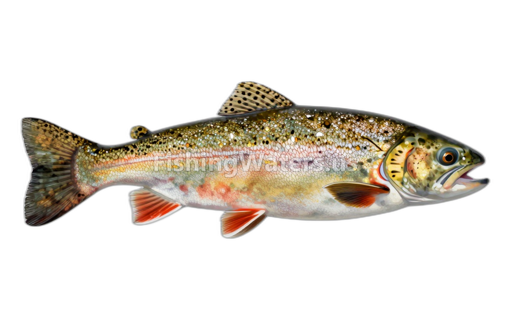 Cutthroat TroutOncorhynchus clarkii
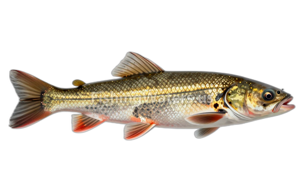 Longnose SuckerCatostomus catostomus
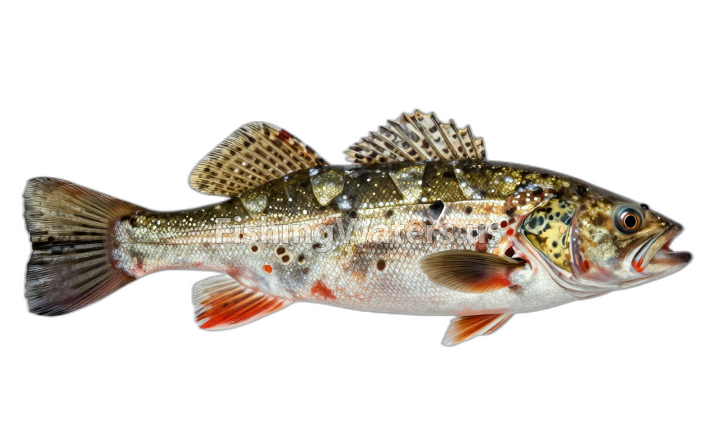 Mottled sculpinCottus bairdii
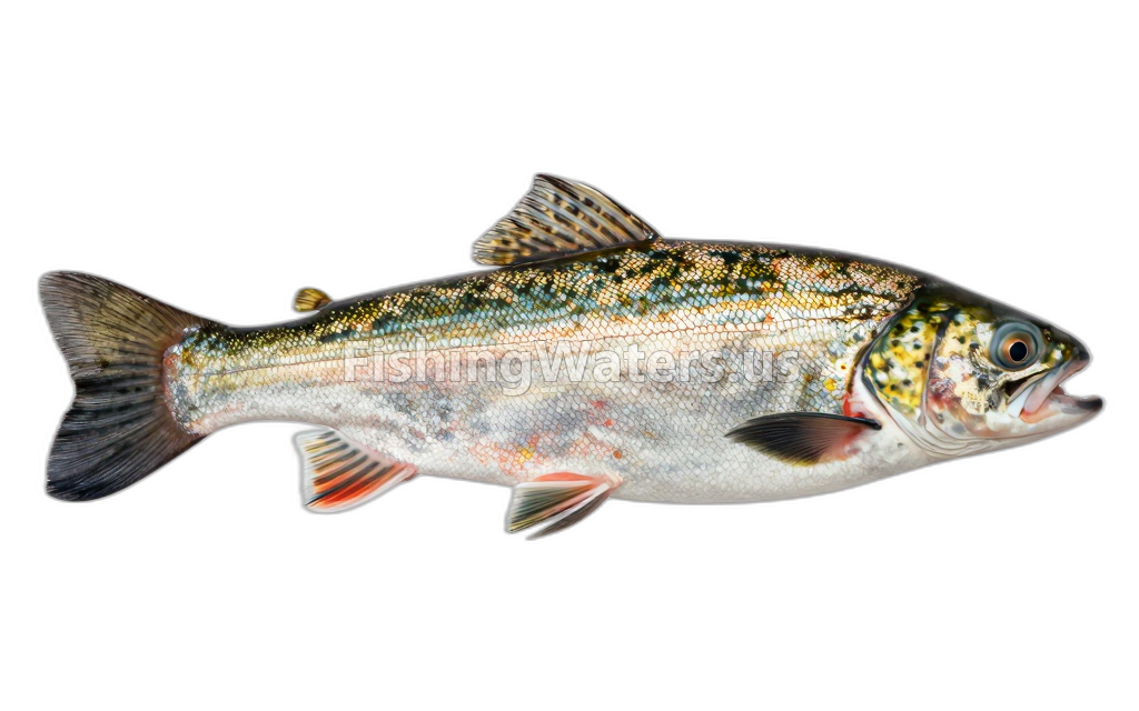 Mountain WhitefishProsopium williamsoni
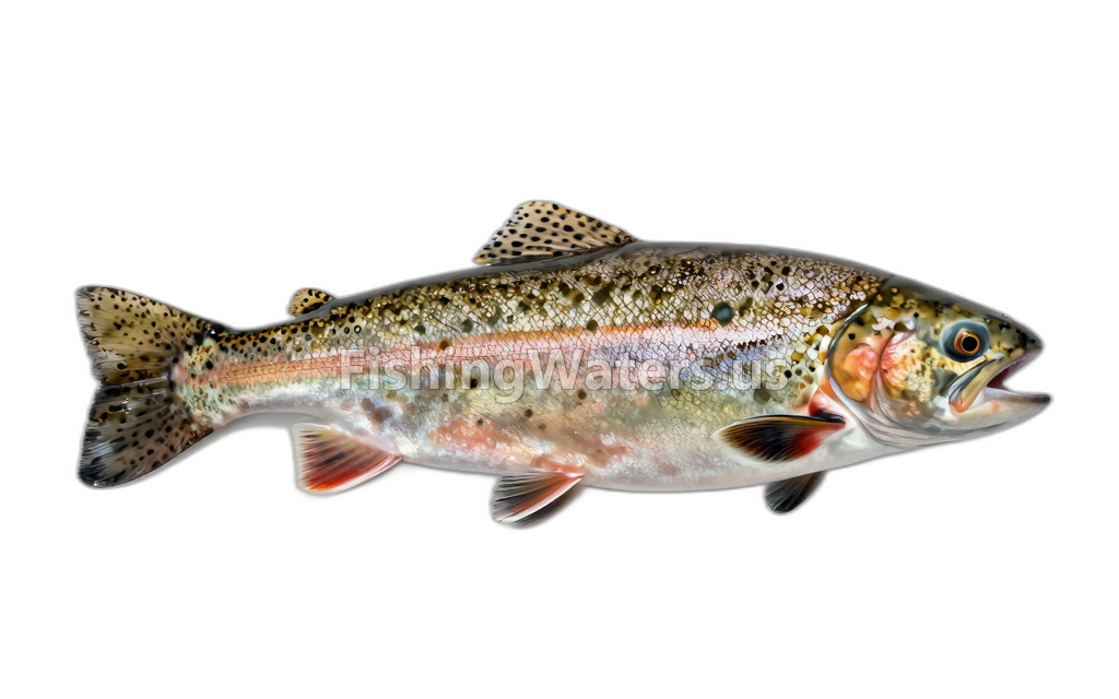 rainbow troutOncorhynchus mykiss
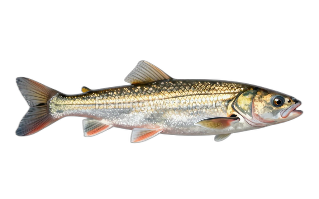 White SuckerCatostomus commersonii
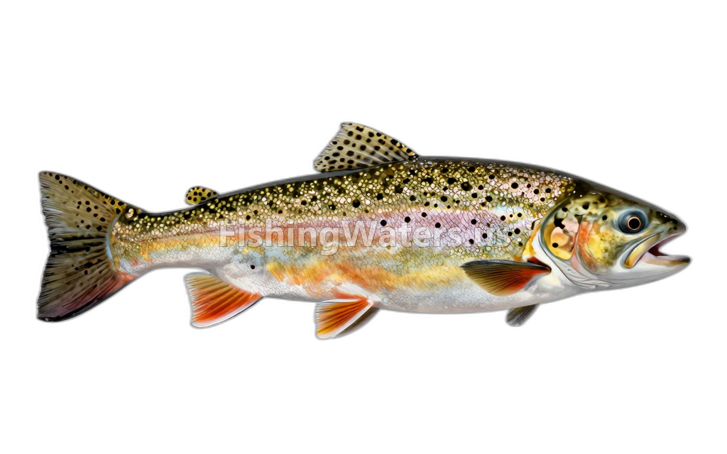 Yellowstone Cutthroat TroutOncorhynchus clarkii bouvieri
Stocking history
- Species
- Rainbow Trout
- Quantity
- 448
- Stocking date
- Jun 20, 1989
- Fish size
- 7.4
- Species
- Rainbow Trout
- Quantity
- 2400
- Stocking date
- Sep 19, 1963
- Fish size
- 6
- Species
- Rainbow Trout
- Quantity
- 33217
- Stocking date
- Sep 22, 1954
- Fish size
- 1
- Species
- Rainbow Trout
- Quantity
- 2466
- Stocking date
- Jul 21, 1954
- Fish size
- 0
- Species
- Rainbow Trout
- Quantity
- 942
- Stocking date
- Jul 7, 1953
- Fish size
- 6
- Species
- Rainbow Trout
- Quantity
- 6480
- Stocking date
- Jul 7, 1953
- Fish size
- 5
Stocking data: Montana Fish, Wildlife & Parks
Stocking records are historical and may not reflect current fish populations.
Fishery surveys and lake profiles
Brown Trout survey
Official distribution profile
View official surveyLongnose Sucker survey
Official distribution profile
View official surveyRainbow Trout survey
Official distribution profile
View official surveyBrook Trout survey
Official distribution profile
View official surveyBrook Trout survey
Official distribution profile
View official surveyBrook Trout survey
Official distribution profile
View official surveyBrook Trout survey
Official distribution profile
View official surveyBrook Trout survey
Official distribution profile
View official surveyBrown Trout survey
Official distribution profile
View official surveyWhite Sucker survey
Official distribution profile
View official surveySurvey findings describe the recorded visit and may not reflect current conditions.
Water quality
EPA assessment information is available for this waterbody.
EPA assessment
Assessed area: 49.6 miles
View EPA assessmentEPA water-quality assessments are separate from fish-consumption advisories.
Water monitoring
Lower Toston Reservoir near Toston MT
U.S. Geological Survey
Nearby station readings describe the monitoring location, not necessarily the whole waterbody.
Sources
- Montana Fish, Wildlife & Parks
- U.S. Environmental Protection Agency