Pond · Maryland
Governor's Bridge Pond Fishing
Governor's Bridge Pond is a pond in Maryland. This guide includes fish species, stocking history, fishery surveys and fishing access.
Quick facts
- Location
- Maryland
- Coordinates
- 38.9423, -76.6966
- Water type
- Pond
- Sunrise
- 11:53 UTC
- Sunset
- 21:50 UTC
- Day length
- 10 hours
Location map
Current fishing weather
Loading current forecast…
Fish species
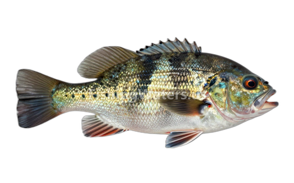
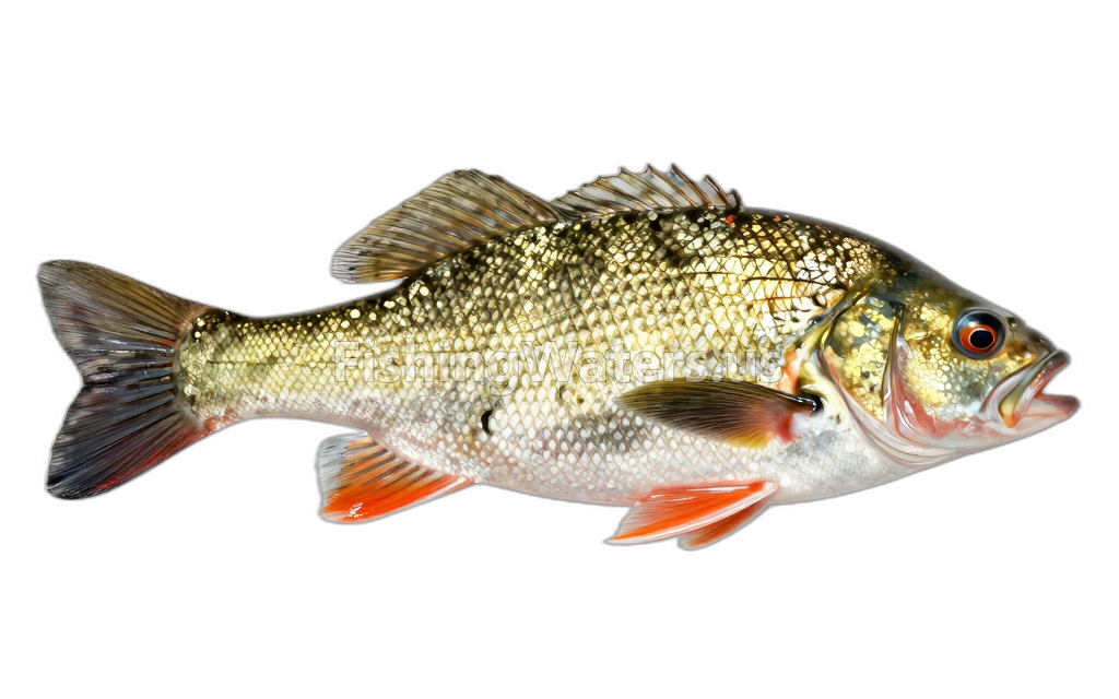
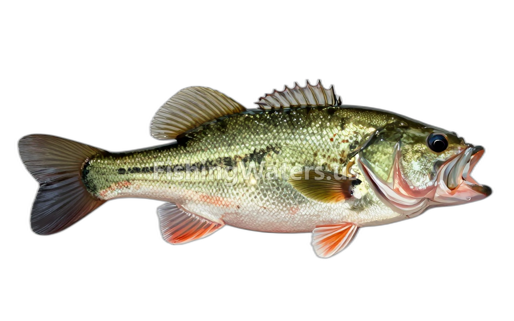
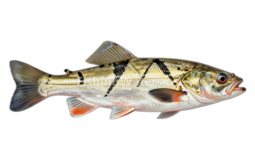
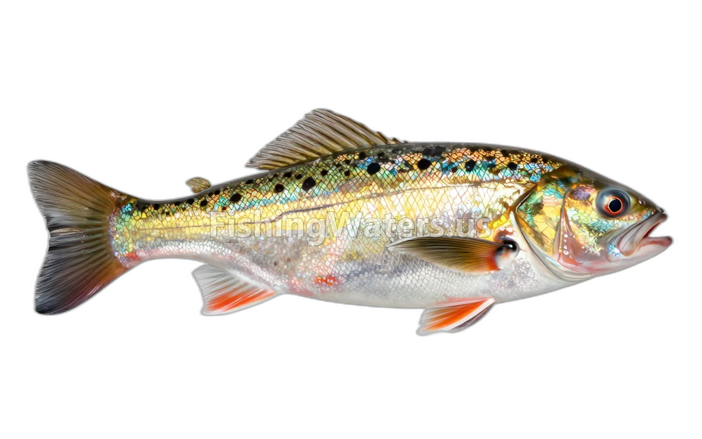
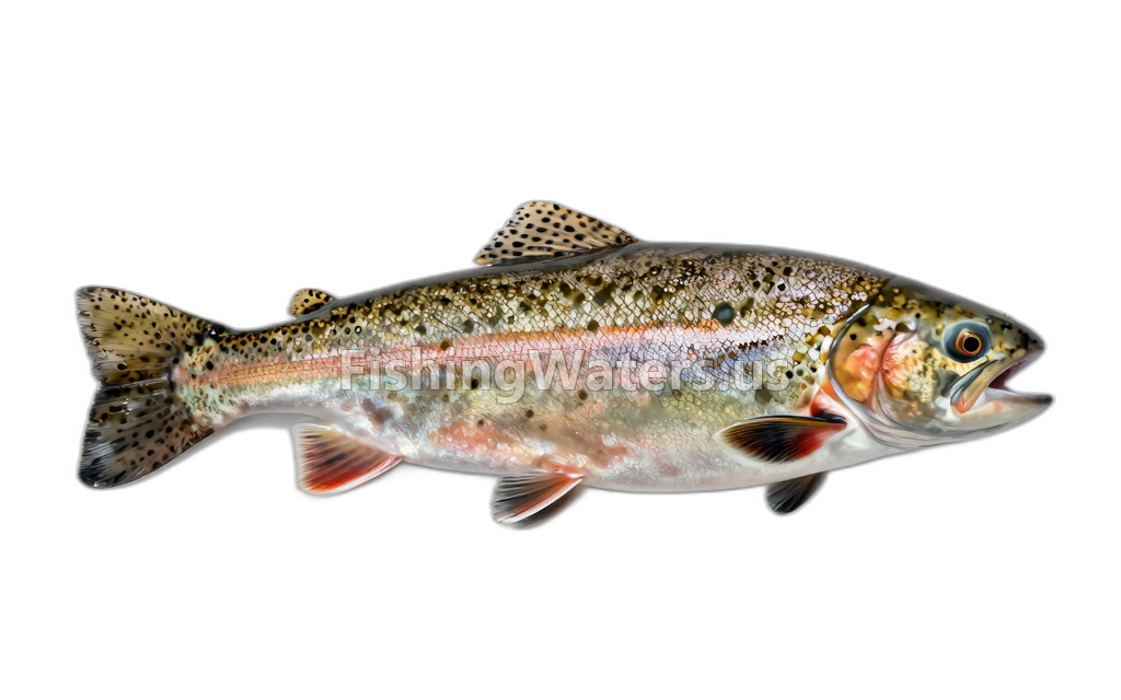
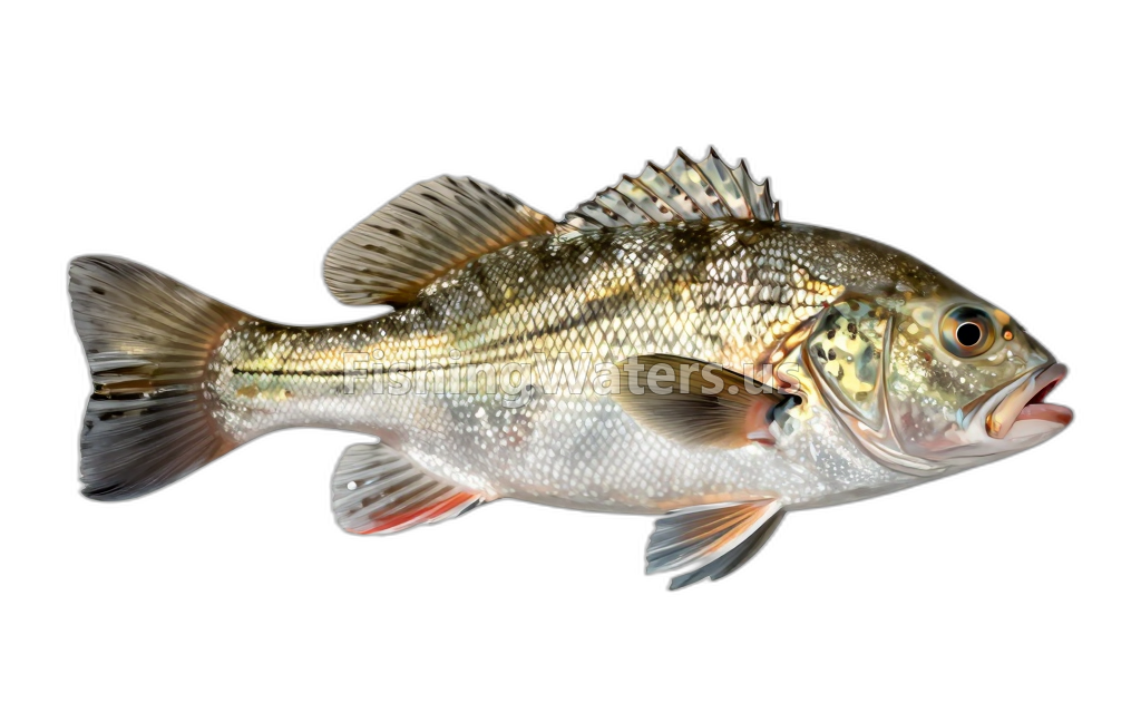
Stocking history
- Species
- Rainbow/Golden
- Quantity
- 300
- Stocking date
- Mar 4, 2026
Stocking data: Maryland Department of Natural Resources
Stocking records are historical and may not reflect current fish populations.
Fishery surveys and lake profiles
Crappie survey
Official survey summary profile
View official surveyLargemouth Bass survey
Official survey summary profile
View official surveySunfish survey
Official survey summary profile
View official surveySurvey findings describe the recorded visit and may not reflect current conditions.
Fishing access
Fishing access
Davidsonville Park soft access
Public access
View official access informationFishing access
Governor Bridge Natural Area / Gardner Canoe Launch
Public access
View official access informationSources
- Maryland Department of Natural Resources
- Maryland Department of Natural Resources Freshwater Fisheries and Hatcheries Division