Pond · Ohio
MAUMEE BAY STATE PARK POND Fishing
MAUMEE BAY STATE PARK POND is a pond in Ohio. This guide includes fish species, stocking history and monitoring stations.
Quick facts
- Location
- Ohio
- Coordinates
- 41.6808, -83.3746
- Water type
- Pond
- Sunrise
- 12:26 UTC
- Sunset
- 22:10 UTC
- Day length
- 9.7 hours
Location map
Current fishing weather
Loading current forecast…
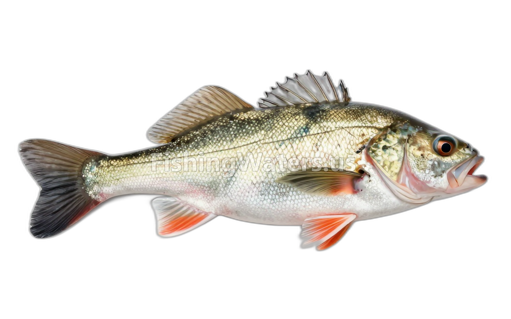
Fish species
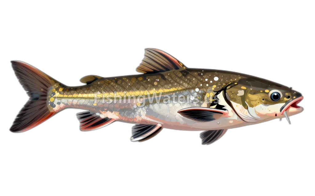
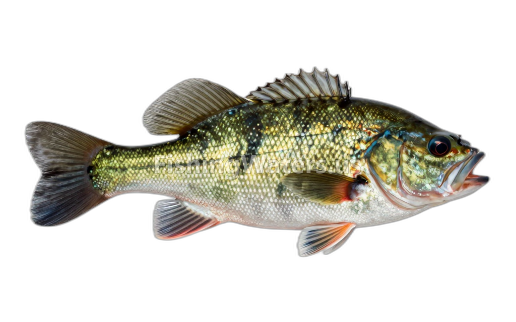
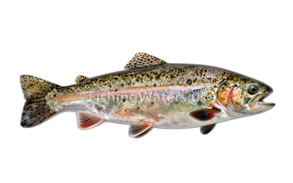
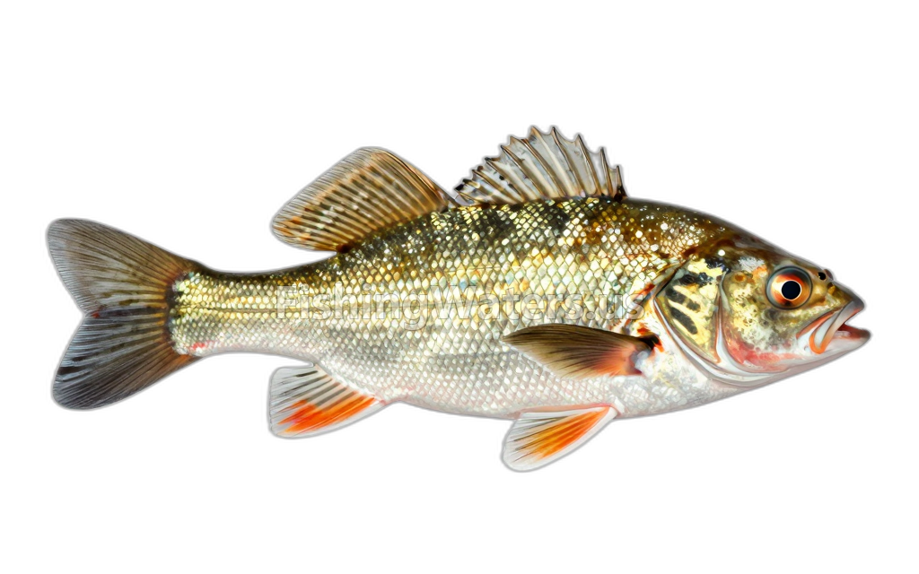
Stocking history
- Species
- Rainbow Trout
- Quantity
- 340
- Species
- Channel Catfish
- Quantity
- 768
- Species
- Channel Catfish
- Quantity
- 1303
- Species
- Channel Catfish
- Quantity
- 1252
- Species
- Channel Catfish
- Quantity
- 1001
- Species
- Channel Catfish
- Quantity
- 2592
Stocking data: Ohio Department of Natural Resources
Stocking records are historical and may not reflect current fish populations.
Water monitoring
Inland Lake Beach at Maumee Bay State Park OH
U.S. Geological Survey
Maumee Bay at Maumee Bay State Park Cove 2 OH
U.S. Geological Survey
Maumee Bay at Maumee Bay State Park Cove 4 OH
U.S. Geological Survey
Maumee Bay at breakwall one
U.S. Geological Survey
Maumee Bay at Maumee Bay State Park Cove 3 OH
U.S. Geological Survey
Maumee Bay Coves 2-4 Composite at Maumee Bay S.P.
U.S. Geological Survey
Maumee Bay east of marina at Maumee Bay State Park
U.S. Geological Survey
Maumee Bay at mouth of Berger Ditch
U.S. Geological Survey
Nearby station readings describe the monitoring location, not necessarily the whole waterbody.
Sources
- Ohio Department of Natural Resources