River · Montana
Beaverhead River Fishing
Beaverhead River is a river in Montana. This guide includes fish species, stocking history, fishery surveys, fishing access and monitoring stations.
Quick facts
- Location
- Montana
- Coordinates
- 44.9999, -112.8585
- Water type
- River
- Sunrise
- 14:33 UTC
- Sunset
- 23:59 UTC
- Day length
- 9.4 hours
Location map
Current fishing weather
Fish species
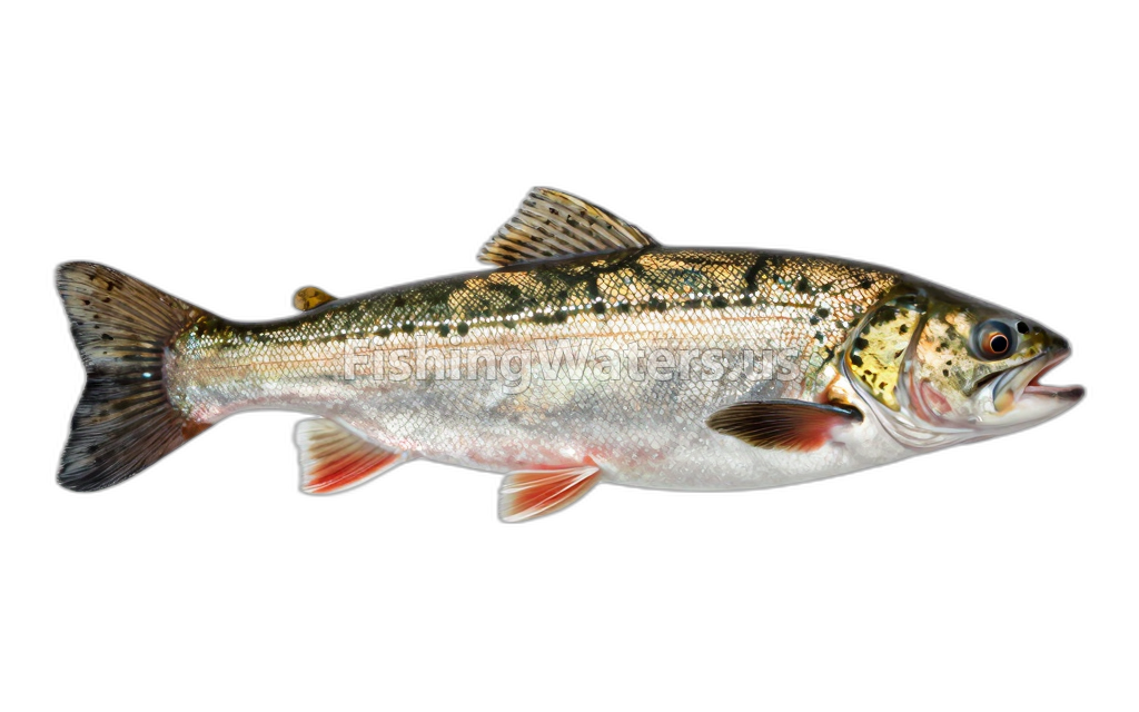 Arctic graylingThymallus arcticus
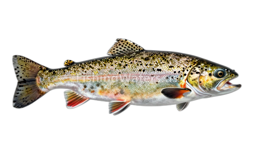 Brook TroutSalvelinus fontinalis
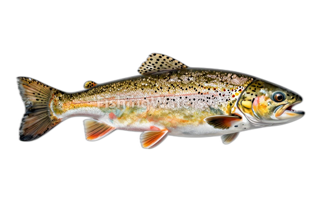 Brown TroutSalmo trutta
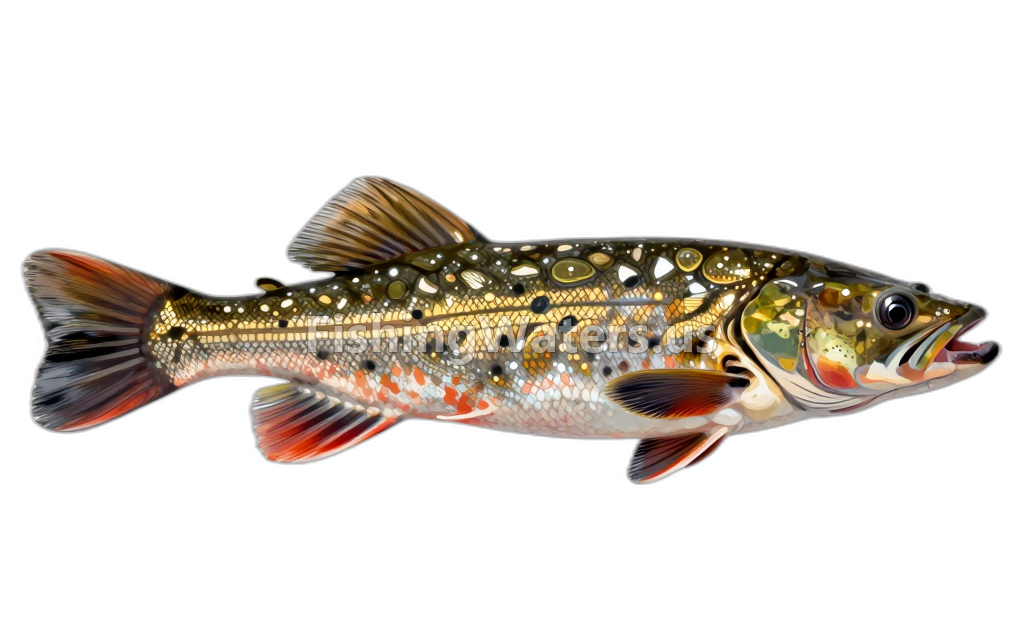 Burbot
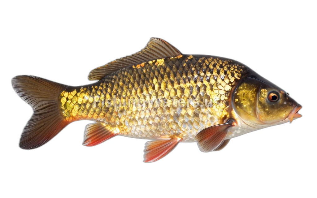 Common CarpCyprinus carpio
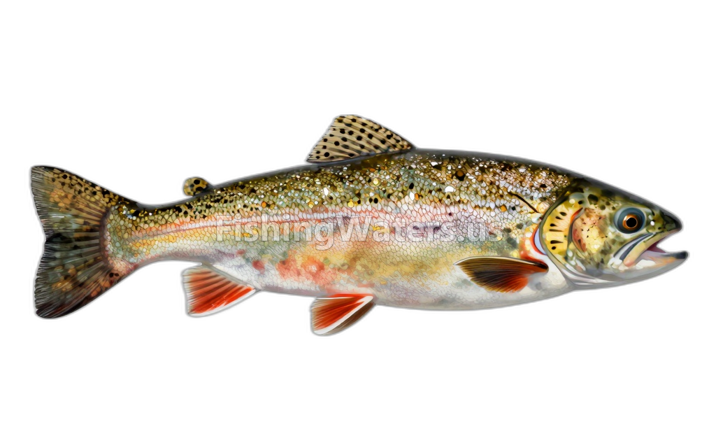 Cutthroat TroutOncorhynchus clarkii
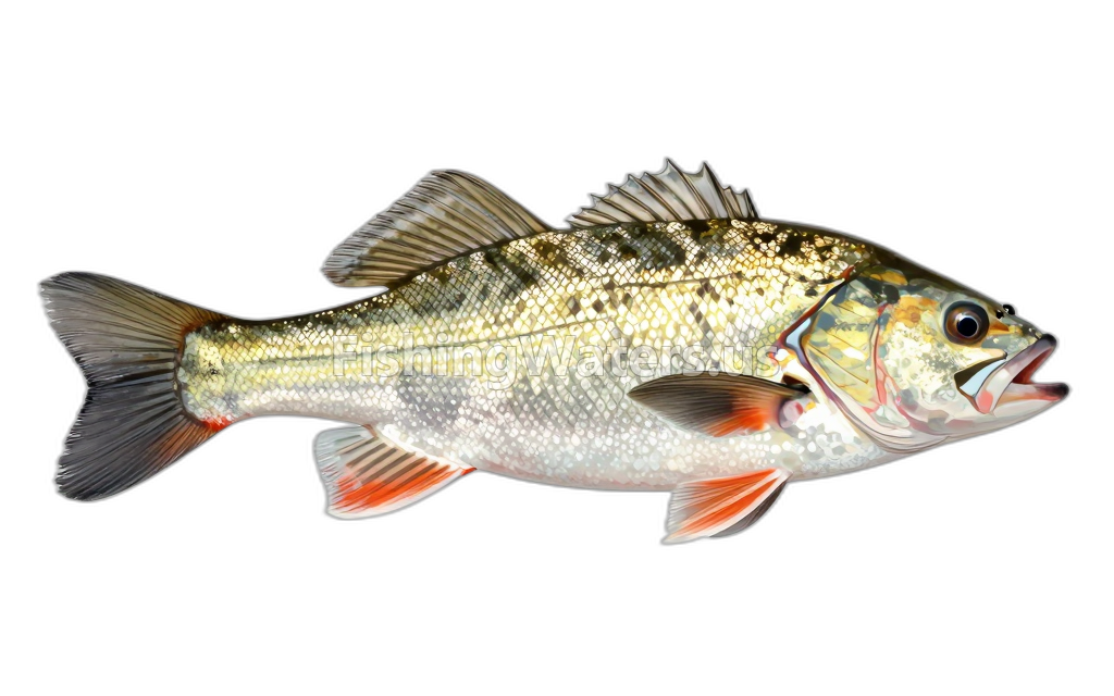 Longnose DaceRhinichthys cataractae
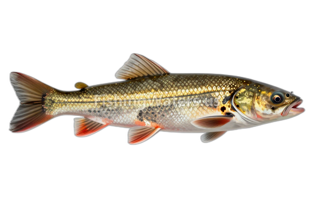 Longnose SuckerCatostomus catostomus
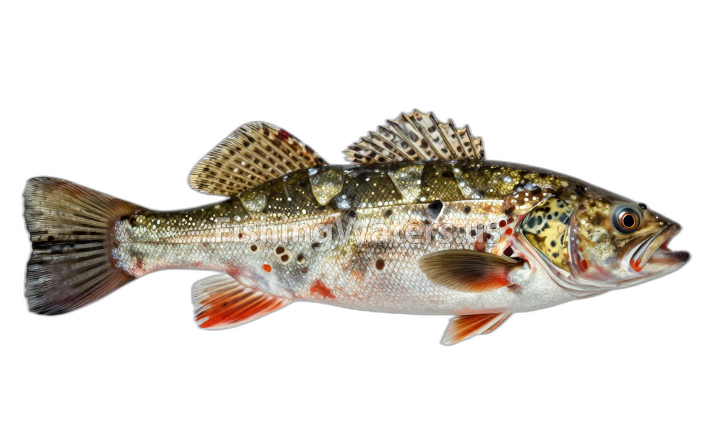 Mottled sculpinCottus bairdii
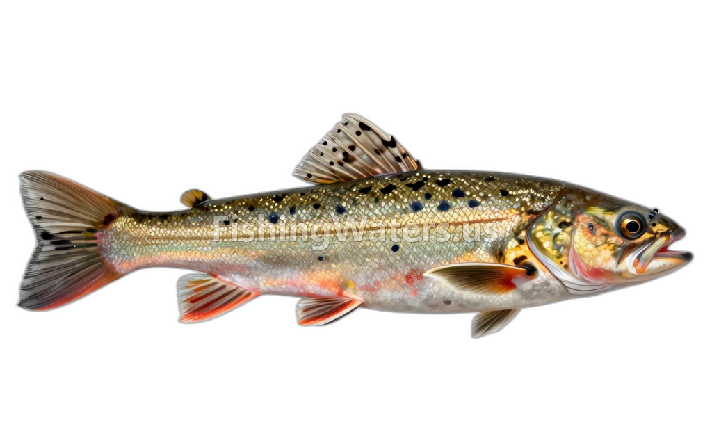 Mountain sucker
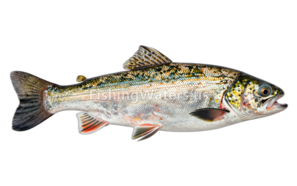 Mountain WhitefishProsopium williamsoni
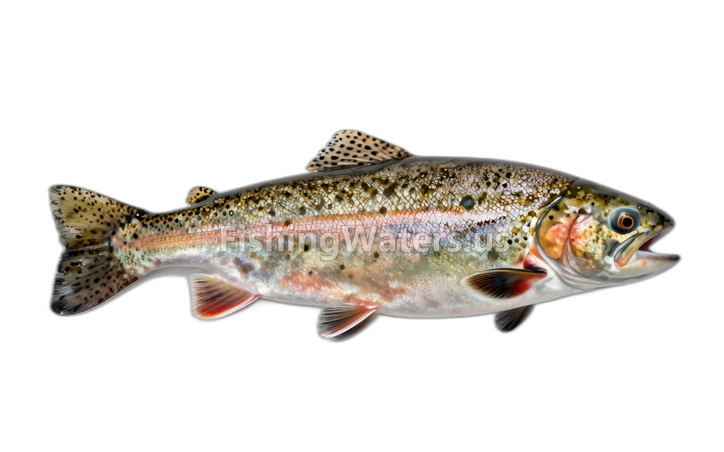 rainbow troutOncorhynchus mykiss
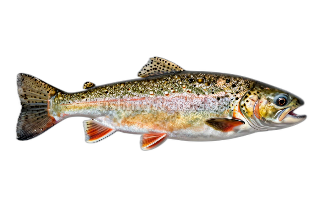 Westslope Cutthroat TroutOncorhynchus clarki lewisi
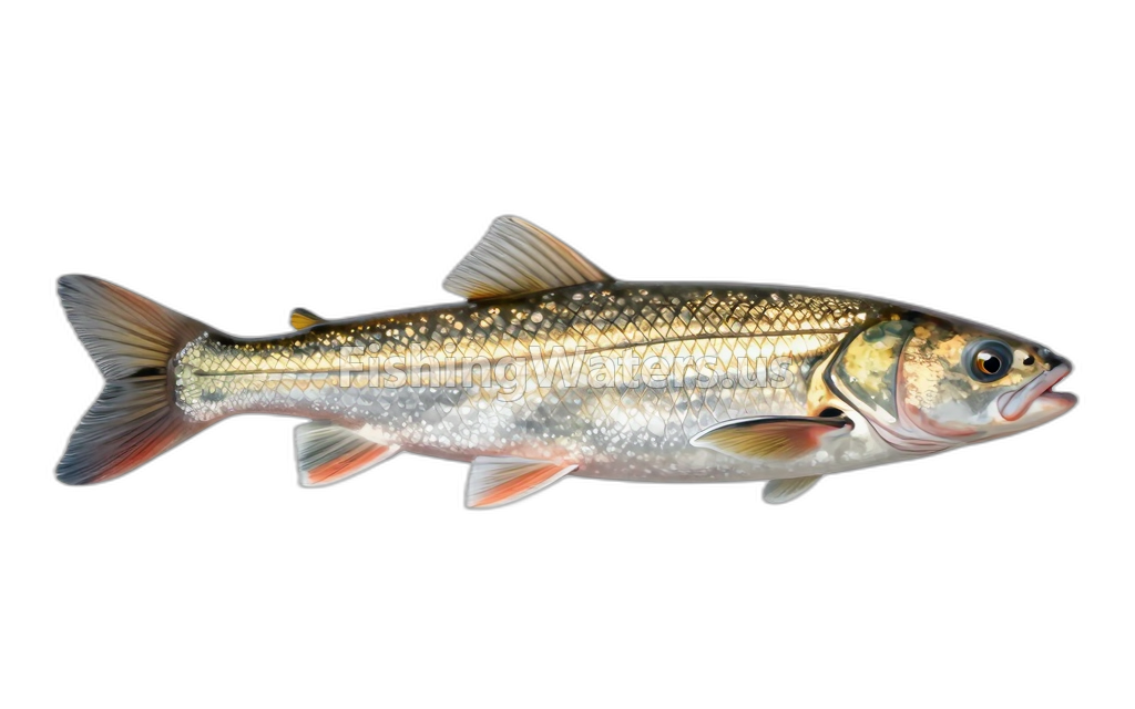 White SuckerCatostomus commersonii
Stocking history
- Species
- Arctic Grayling
- Quantity
- 5105
- Stocking date
- Jun 17, 2002
- Fish size
- 8.4
- Species
- Arctic Grayling
- Quantity
- 2552
- Stocking date
- Jun 17, 2002
- Fish size
- 8.4
- Species
- Arctic Grayling
- Quantity
- 5955
- Stocking date
- Jun 12, 2002
- Fish size
- 8.4
- Species
- Arctic Grayling
- Quantity
- 6351
- Stocking date
- Jun 12, 2002
- Fish size
- 8.4
- Species
- Arctic Grayling
- Quantity
- 6063
- Stocking date
- Jun 10, 2002
- Fish size
- 8.4
- Species
- Arctic Grayling
- Quantity
- 6020
- Stocking date
- Jun 10, 2002
- Fish size
- 8.2
Stocking data: Montana Fish, Wildlife & Parks
Stocking records are historical and may not reflect current fish populations.
Fishery surveys and lake profiles
Rainbow Trout survey
Official distribution profile
View official surveyRainbow Trout survey
Official distribution profile
View official surveyRainbow Trout survey
Official distribution profile
View official surveyBrook Trout survey
Official distribution profile
View official surveyBrown Trout survey
Official distribution profile
View official surveyArctic Grayling survey
Official distribution profile
View official surveyArctic Grayling survey
Official distribution profile
View official surveyArctic Grayling survey
Official distribution profile
View official surveyArctic Grayling survey
Official distribution profile
View official surveyArctic Grayling survey
Official distribution profile
View official surveySurvey findings describe the recorded visit and may not reflect current conditions.
Fishing access
Fishing access
High Bridge
Public access
View official access informationWater monitoring
Clark Canyon Reservoir near Grant MT
U.S. Geological Survey
Nearby station readings describe the monitoring location, not necessarily the whole waterbody.
Sources
- Montana Fish, Wildlife & Parks